(UPDATED at 6:30 p.m. MDT June 15, 2020)
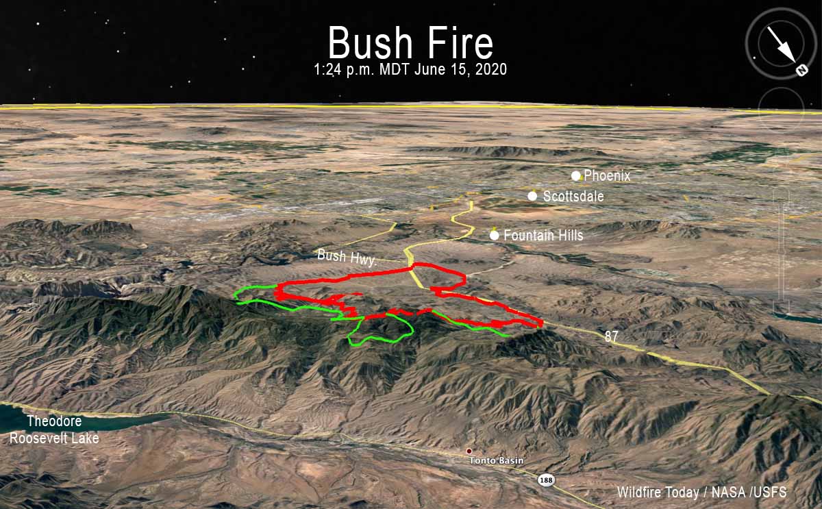
Monday afternoon the Incident Management Team on the Bush Fire announced that it had burned 37,900 acres.
For all articles on Wildfire Today about the Bush Fire northeast of Phoenix including the most recent, click here.
(UPDATED at 3:13 p.m. MDT June 15, 2020)
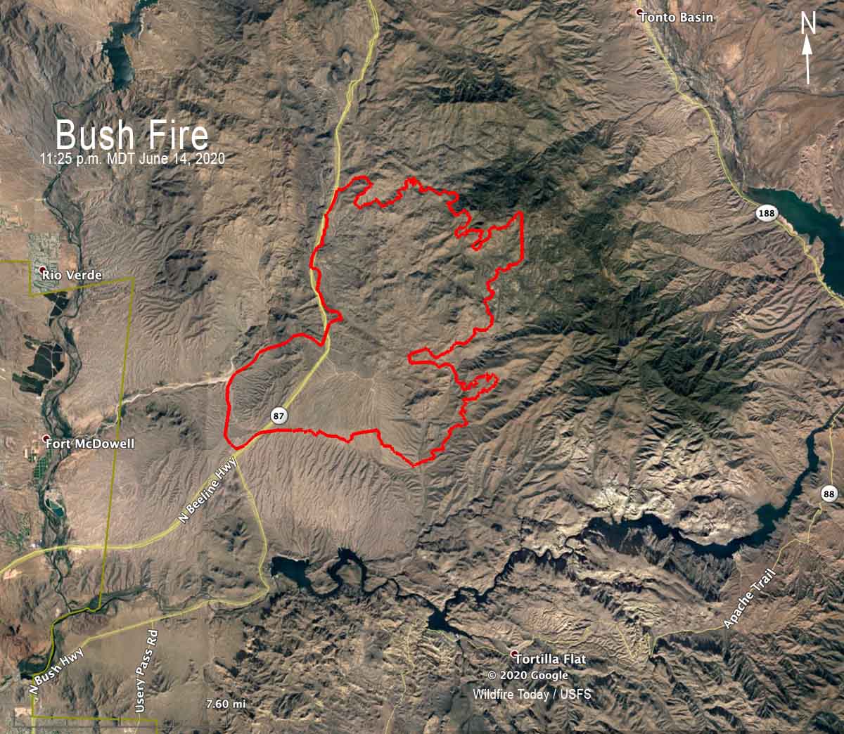
Here is a zoomed-in version of the map showing the location of the Bush Fire northeast of Phoenix at 11:25 p.m. MDT June 14, 2020. The data is from a fixed wing mapping aircraft.
For all articles on Wildfire Today about the Bush Fire northeast of Phoenix including the most recent, click here.
(UPDATED at 1:13 p.m. MDT June 15, 2020)
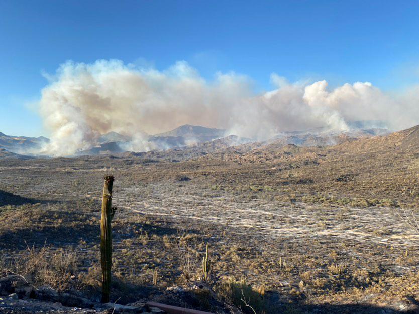
At 9:46 a.m. MST on Monday a notice from the Gila County Sheriff’s Office said, “The Tonto Basin and Punkin Center area are being evacuated. If you need to travel into the evacuated areas to remove livestock and or property you will be allowed to do so.”
A notice from the Sheriff’s office also reported, “Highway 87 from the Bush Highway M/P 199 north bound and south bound to BIA 101 entrance to the Matazal Casino in Payson is closed due to the fire on Highway 87. Only local traffic will be permitted. Residents in the local areas i.e. Rye, Gisela, Deer Creek, Ox Bow will be permitted to travel into Payson and return home. The Junction of Highway 87 and Highway 188 is closed. Highway 188 to the Roosevelt Dam is closed.”
The weather is not helping the firefighters. The forecast for the fire area on Monday is for temperatures of 81 to 91, relative humidity 12 to 17 percent, and no chance of rain. The winds will become southwesterly at 6 to 15 mph by the late morning/early afternoon. Gusts of 20-25 mph will occur over most of the mountain range, but ridgetops could see gusts nearing 30 mph. Monday night the winds will be southwest at 5 to 10 mph.
(UPDATED at 7:10 a.m. MDT June 15, 2020)
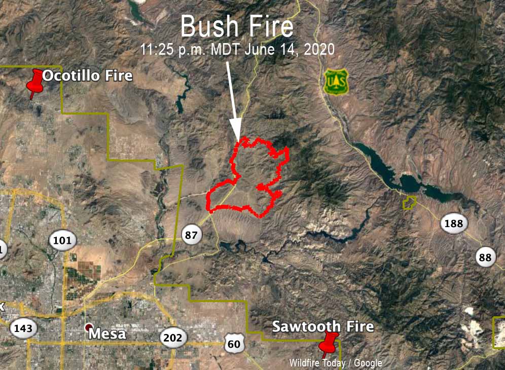
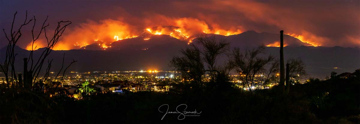
The Bush Fire was mapped at 36,257 acres Sunday night. We will post more about this fire later.
(Originally published at 9:36 a.m. MDT June 14, 2020)
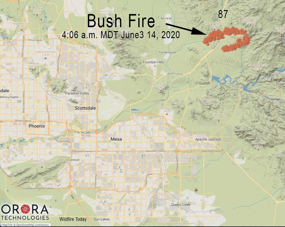
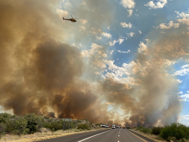
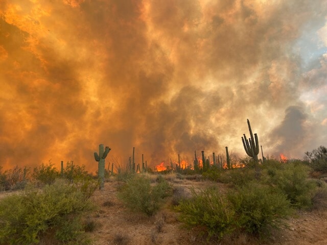
Both lanes of State Route 87 are closed northeast of Phoenix, Arizona due to a vegetation fire that was unfortunately named “Bush Fire”.
The northbound lanes are closed at Bush Highway at milepost 199, according to the Arizona Department of Transportation. The southbound highway is currently closed at State Route 188.
There is no estimated time to reopen. Drivers are encouraged to use an alternate route, such as US 60 and SR 188 through Globe, or delay travel if possible.