Updated August 9, 2020 | 2:38 p.m. MDT
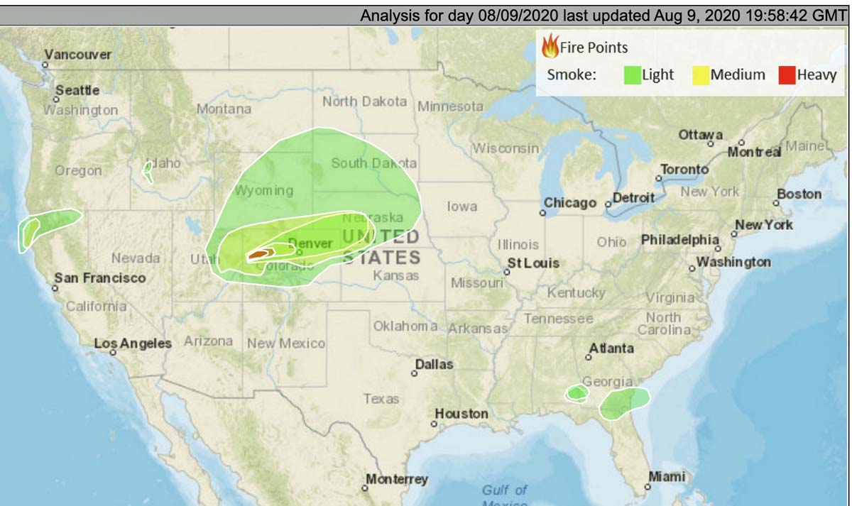
The map shows the distribution of smoke from vegetation fires at 1:58 p.m. MDT August 9, 2020. The largest producer is the Pine Gulch Fire in Colorado.


Updated August 9, 2020 | 2:38 p.m. MDT
The map shows the distribution of smoke from vegetation fires at 1:58 p.m. MDT August 9, 2020. The largest producer is the Pine Gulch Fire in Colorado.


