


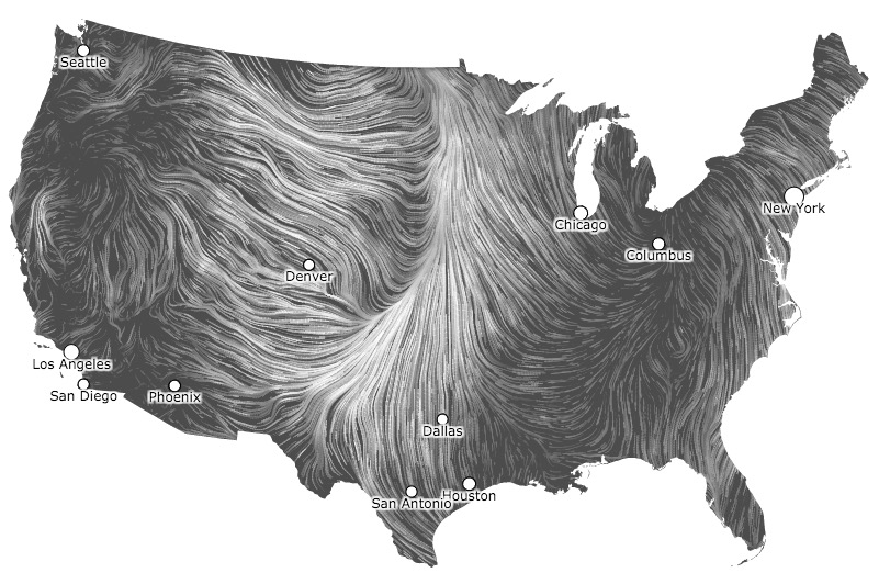
The image above is a screen grab from an animated graphic showing the wind speed and direction in the United States at 1:35 p.m MDT today. This image does not do it justice. Go to the Wind Map site and become mesmerized by the animation.
The map gives us a clue that firefighters working on the fire in Woodward County in northwest Oklahoma might be challenged to keep up with it.







