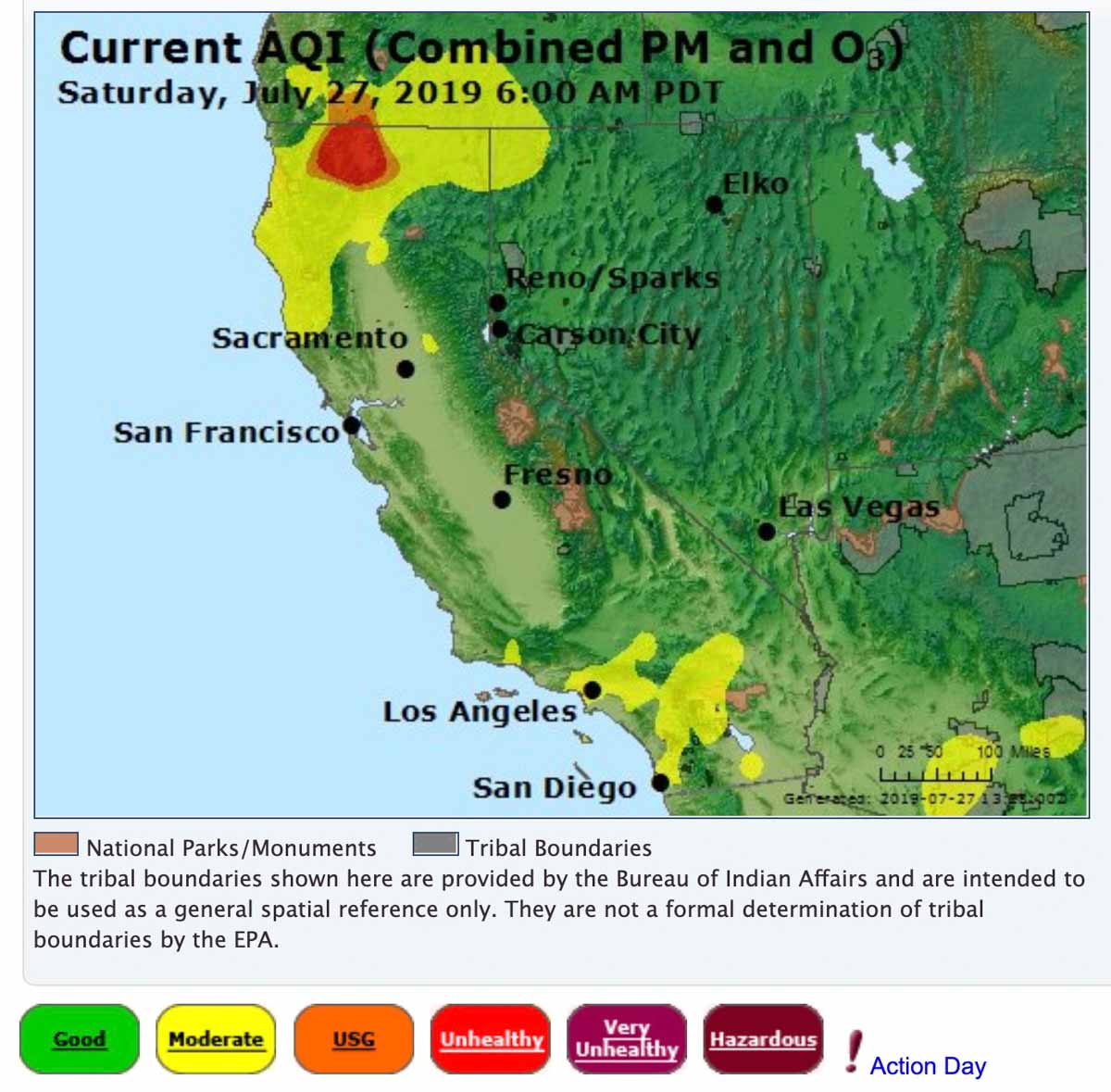
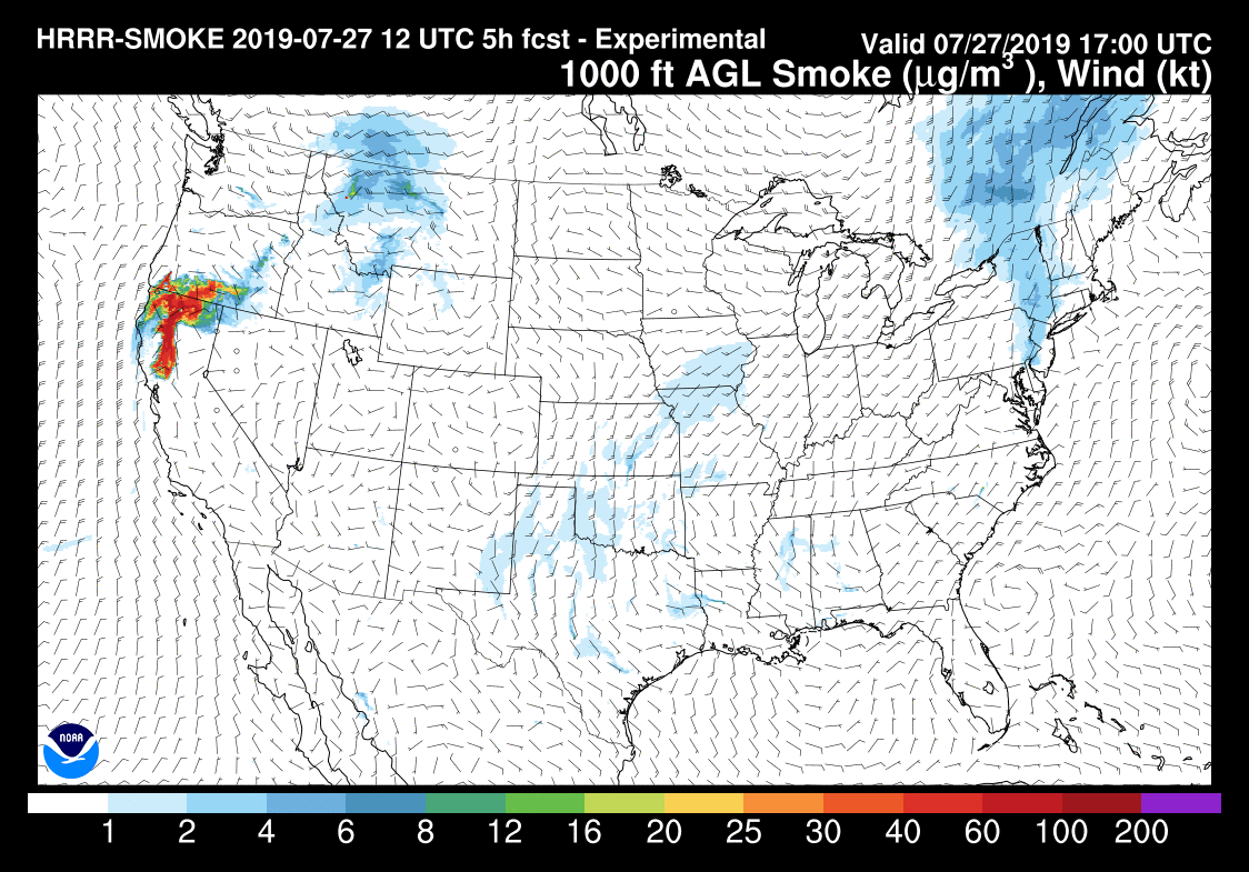
(UPDATED at 3:56 p.m. PDT July 27, 2019)
Below is an updated forecast for the distribution of smoke from the Milepost 97 Fire in Southwest Oregon. One difference from the previous version further down in this article is that not only is it proceeding further south approaching the San Francisco Bay Area, but some of the smoke will be spreading into southern Idaho. The forecast is for 6 p.m. PDT July 27, 2019.

(Originally published at 7:15 a.m. PDT July 27, 2019)
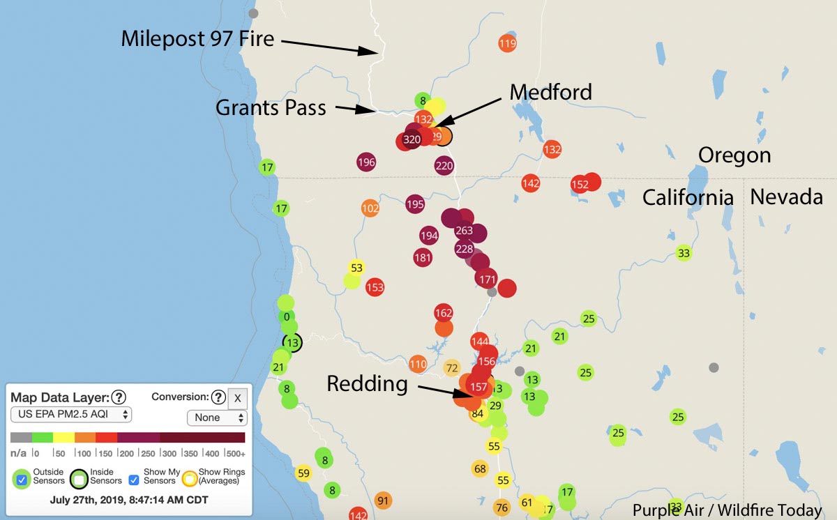
Smoke from the 8,878-acre Milepost 97 fire near Canyonville, Oregon is affecting the air quality in Southern Oregon and Northern California.
Some of the cities in Oregon affected are Grants Pass, Medford, and Ashland. And in California, Yreka, Weed, Mt. Shasta, and Redding.
Click here for more information about the Milepost 97 Fire near Canyonville, Oregon.