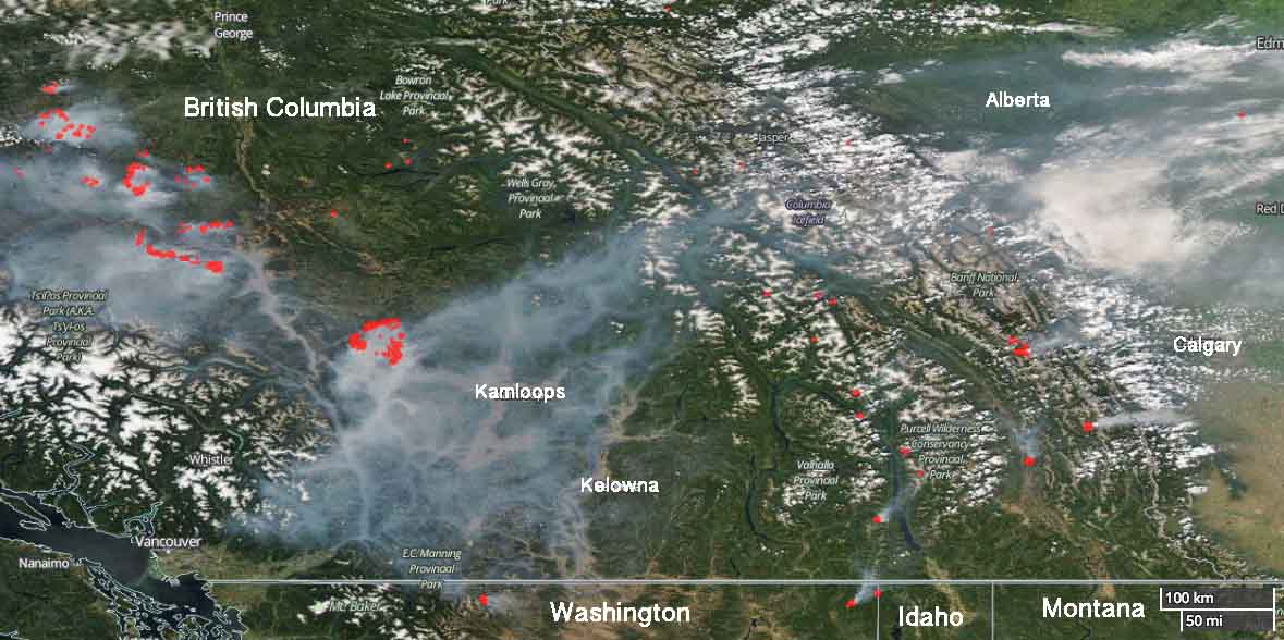
Above: Satellite photo showing the location wildfires in British Columbia and Alberta, July 31, 2017. The red dots represent heat detected by the satellite.
(Originally published at 7:32 p.m. MDT July 31, 2017)
Currently there are many wildfires burning in British Columbia and Alberta. One of them is a megafire just east of Clinton, north and south of Cache Creek, and about 50 miles northwest of Kamloops. I’m not sure if it’s the Mother of All Fires, for this year anyway, but so far it has covered 78,548 hectares (194,096 acres). The BC Wildfire Service says that number is probably low, since the visibility has prevented them from conducting mapping flights for a day or two.
(More recent information about the Elephant Hill Fire and other fires in British Columbia was posted August 2, 2017.)
The recent warmer and drier weather has contributed to increased growth in recent days. On Sunday most of the spread was on the north and west sides. The objective on the west flank is to remove excess fuel ahead of the fire, keep it south of the Bonaparte River, and slow the aggressive fire behavior. Night shift crews are working from 8 p.m. to 8 a.m. to reinforce firelines.
Structure protection personnel, engines, and equipment are assigned 24 hours a day. They are working across the fire to conduct property assessments, establish sprinkler systems on structures, and protect values where needed.
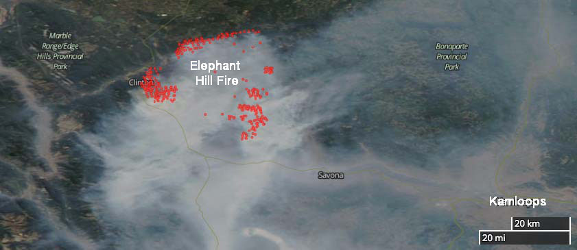
The community of Clinton and areas to the northeast including Green Lake have been evacuated.
Resources assigned to the fire include 20 helicopters and 69 pieces of heavy equipment for a total of 359 firefighters.
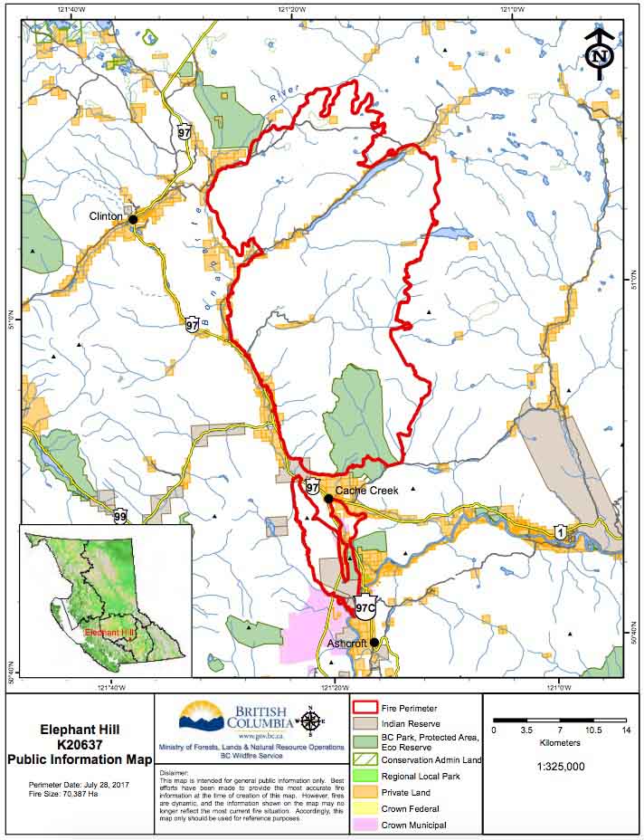
The map below was current July 28, 2017.