


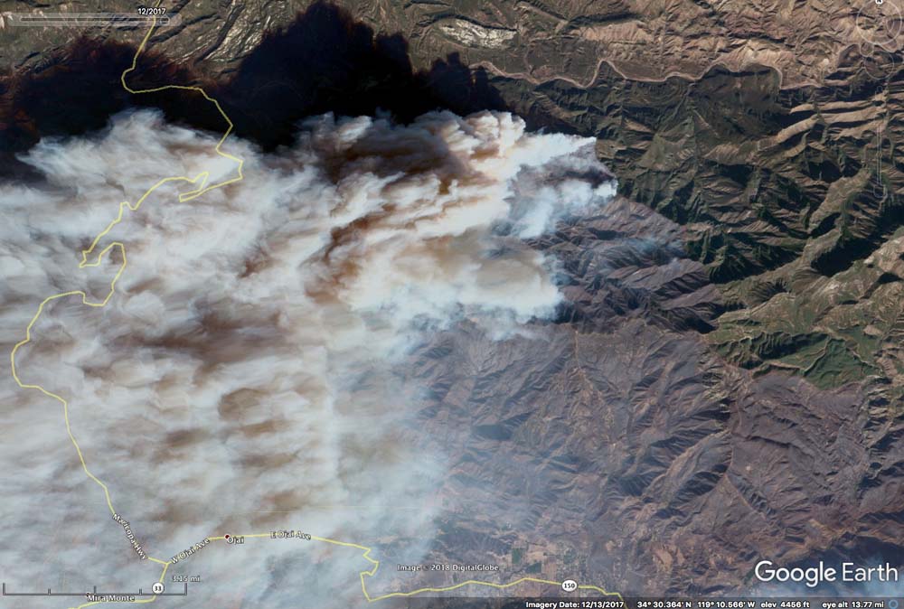
Google Earth, the software that has aerial imagery from all over the world, now has satellite photos of the Thomas Fire. The photo above is from December 13, 2017. To see the fire images you will need to zoom in fairly close and select imagery from December, 2017 (View/Historical Imagery). The photos are from December 4 through 18, 2017.
The Thomas Fire burned 281,893 acres in December, 2017 near Ventura, California, making it for a surprisingly short time, the largest wildfire in recent California history. It destroyed 1,063 structures, damaged 280 more, and set in motion the factors that led to a series of flash-floods and landslides that killed 21 residents. Seven months later the Ranch Fire east of Ukiah became the largest in the recent history of the state, burning 410,000 acres.
Thanks and a tip of the hat go out to Robert.
Typos or errors, report them HERE.


