


(UPDATED at 3:28 p.m. PDT June 12, 2020)
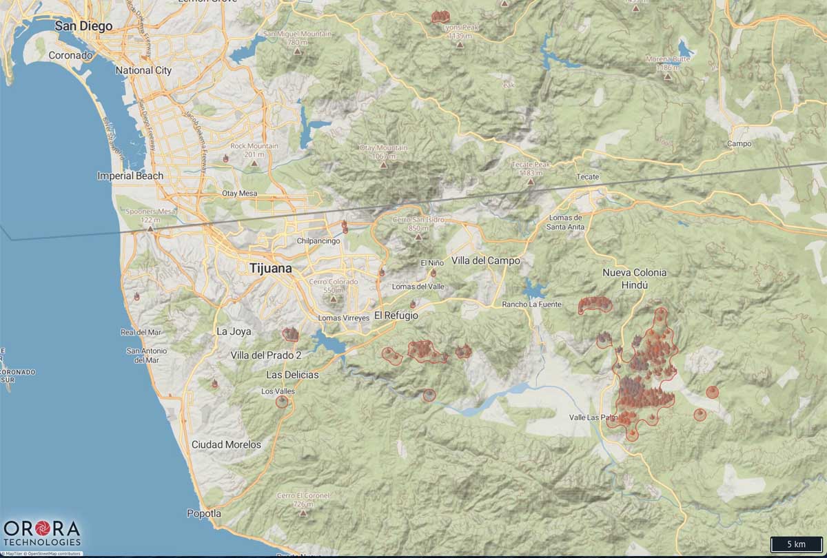
The map below shows heat on fires detected by satellites over the last two days only, and does not include the previous five days like the map farther down.
(Originally published at 2:43 p.m. PDT June 11, 2020)
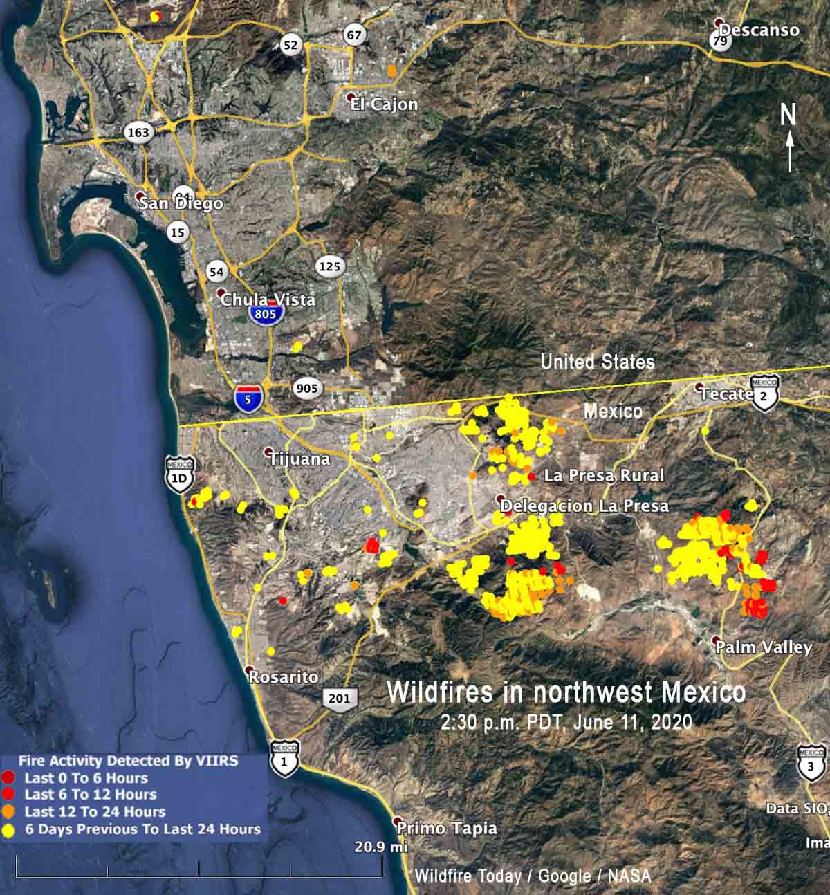
The smoke map we posted earlier today showed a great deal of smoke being created in northwest Mexico. Here is a map with the locations of those fires.


