


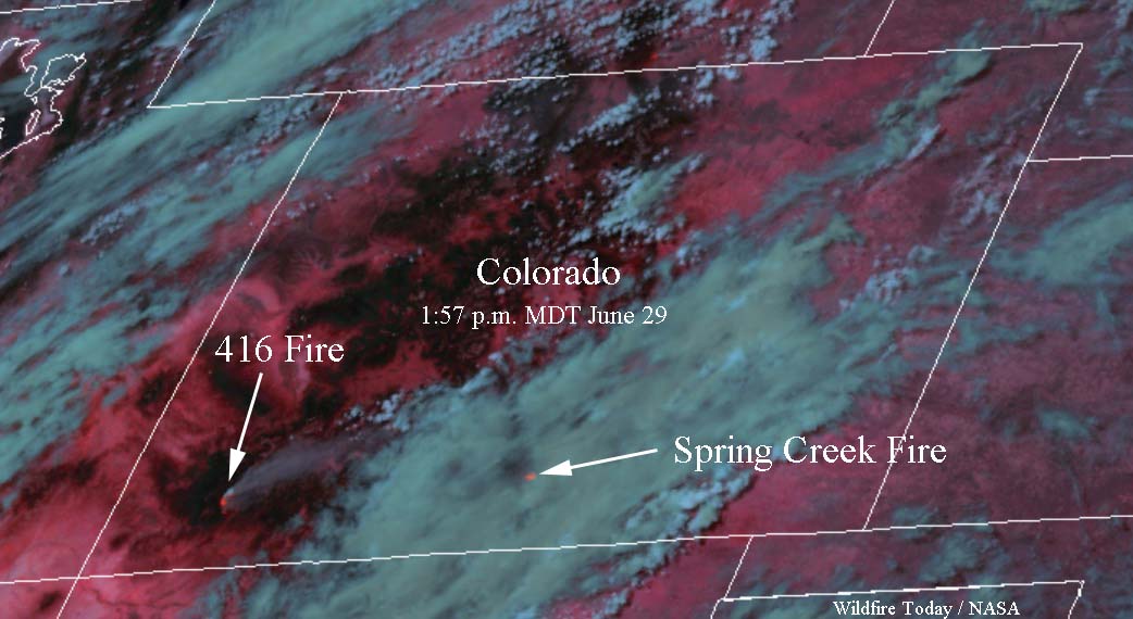
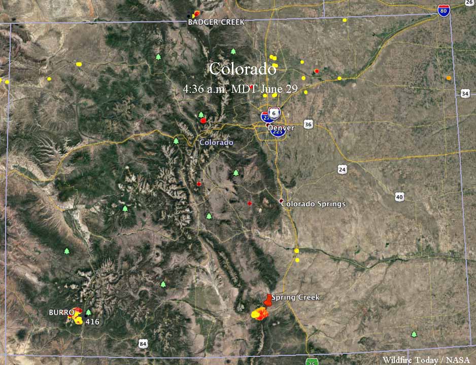
These photos show the location of the wildfires in Colorado, via the heat sensors on satellites. The one above was taken at 1:57 p.m. MDT June 29 when the 416 Fire looked quite active. The Spring Creek Fire was mostly obscured by clouds, but the heat sensor was able to get a peek at it when a hole in the clouds passed over. The data in the map below was from 4:36 a.m. MDT June 29.
More information about the 416 and Spring Creek Fires.


