

An early report by KOIN-TV indicated crews were searching for a lost airtanker that disappeared late Thursday. The BLM-contracted SEAT went missing while fighting a lightning-started fire near Seneca, Oregon. The Central Oregon Daily News said the pilot was en route to a spot fire near the the Falls Fire and was killed in the crash. The BLM confirmed that the wreckage was found and the pilot’s body recovered; the pilot’s identity has not been released.
The Aviation Safety Network reported that an Air Tractor AT-802A owned by Wakefield Aircraft out of North Dakota crashed near Seneca, with one occupant, unknown injuries, and unknown aircraft damage.
The plane went missing around 7 p.m. while working a lightning start near the Falls Fire. The Grant County Sheriff’s Office and Falls Fire personnel immediately began a search and the Oregon National Guard searched overnight without success. Grant County Search and Rescue on Friday joined the search. KGW-TV said the SEAT was flying out of Burns, about 45 miles from Seneca via US-395. The Falls Fire’s about 25 miles south of John Day.
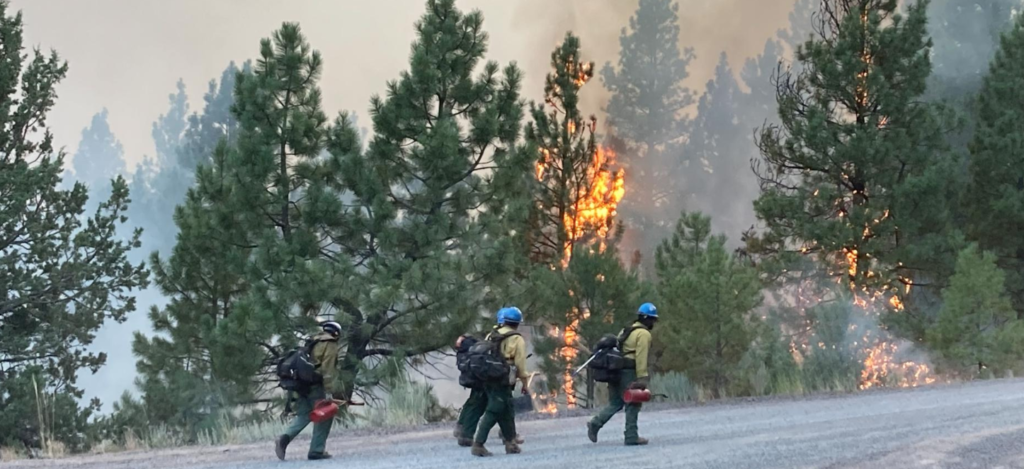
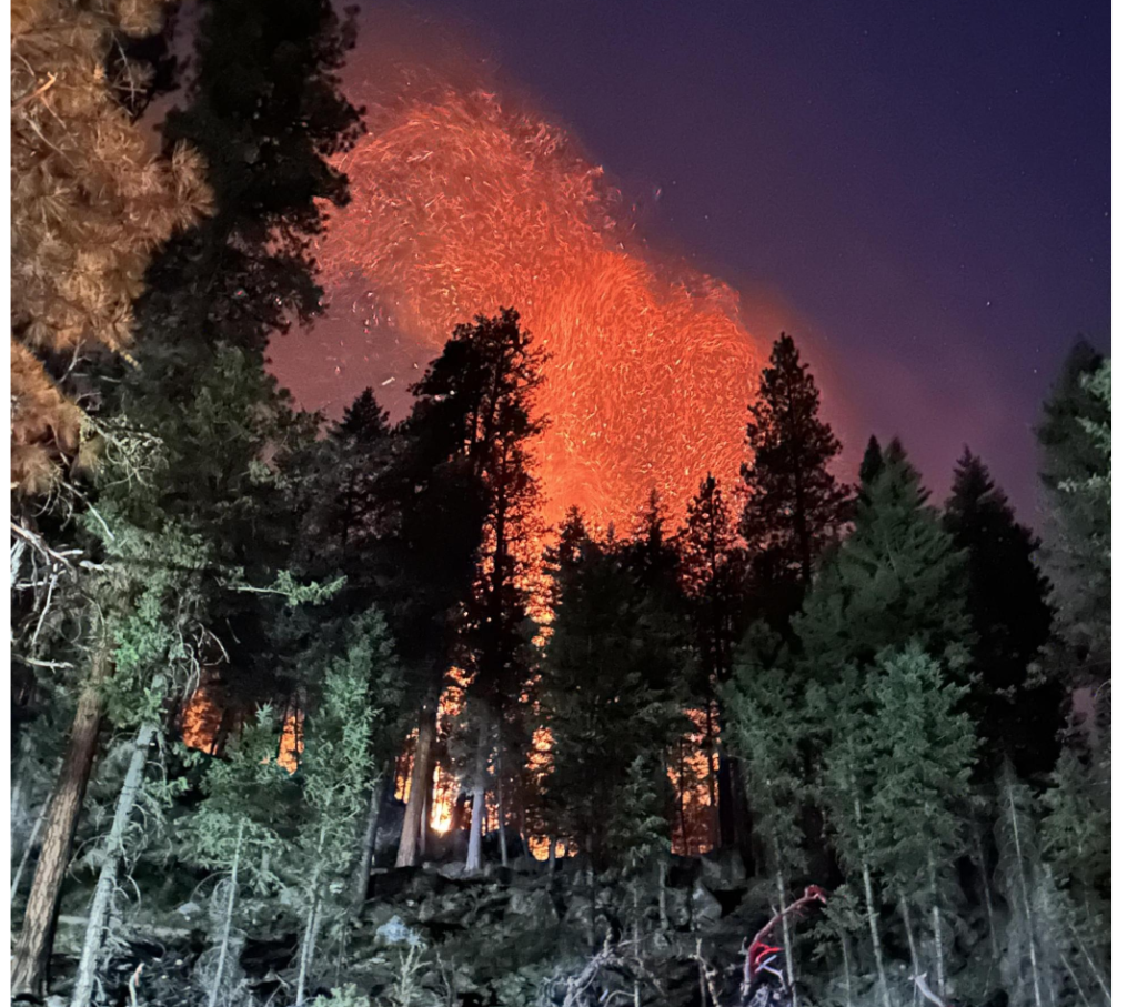
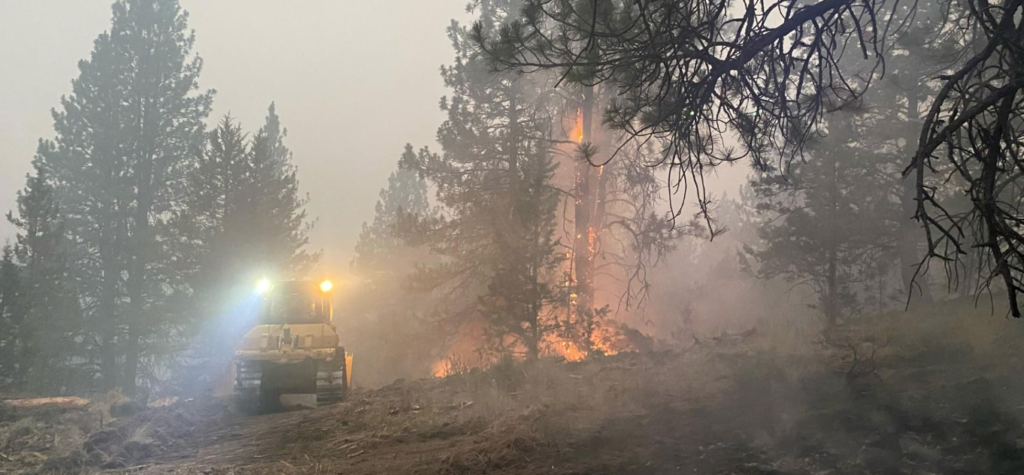
KPTV reported that fire managers reported the aircraft missing on a lightning-started fire on the Malheur National Forest. Search crews have been hunting for the plane since Thursday night and will continue Friday.
The fire was human-caused and is under investigation. Investigators ask for the public’s assistance with any tips or information about the start of the Falls Fire on the Malheur. Please email tips to SM.FS.R6TipHotLine@usda.gov
Threatened property includes 377 homes, 118 commercial buildings, and nearly 700 outbuildings. Resources include 38 crews, 79 engines, 24 dozers, 25 watertenders, plus helicopters and SEATs, for a total of 1560 personnel.
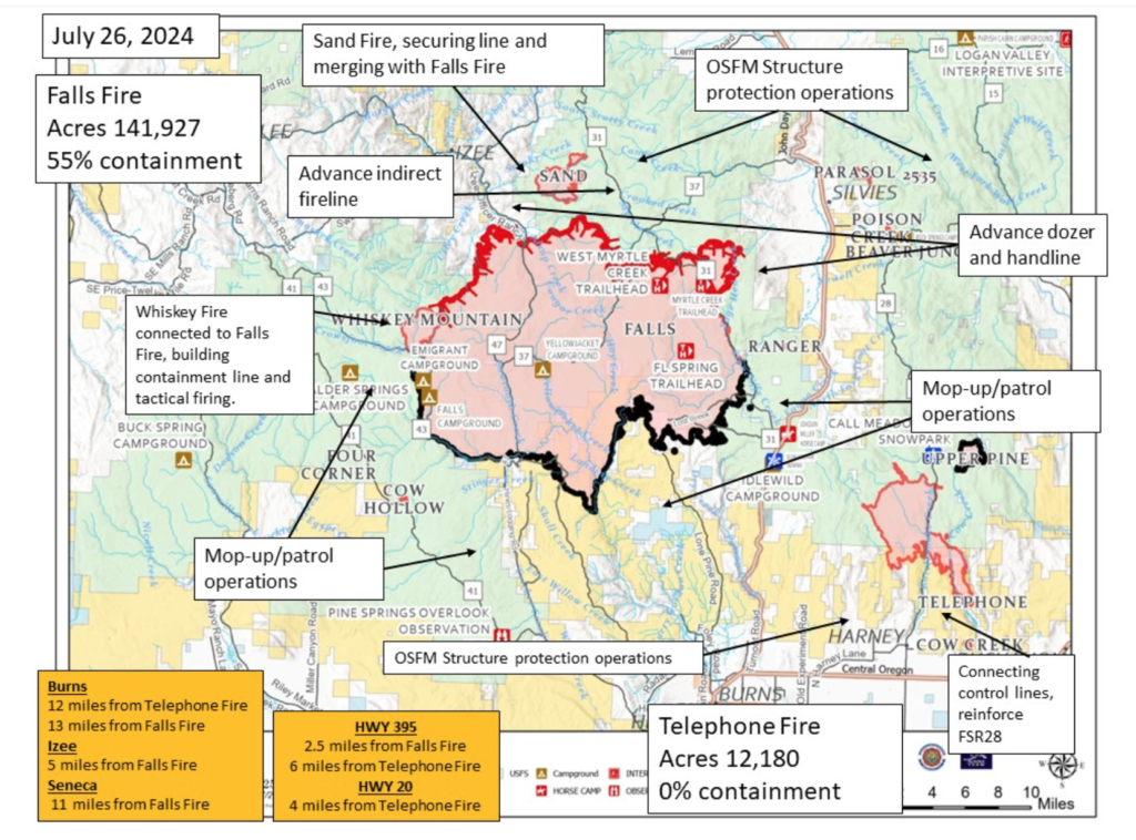
The Alaska Complex IMT 1 assumed command of the Falls and Telephone fires at 6:00 am Friday and is in unified command with the Oregon State Fire Marshal (OSFM). Their thorough update for today is posted online [HERE] but includes no mention of the crash or the search for the missing SEAT. The Harney County Sheriff’s evacuation map is [HERE] and the Grant County Emergency Management wildfire info page is [HERE].
Strong afternoon winds together with extremely dry fuels increased fire behavior on the Telephone Fire, and several new starts were identified east of the Falls Fire in the Parasol Butte area. Evacuation levels were announced and extended in response to the new starts and the Telephone Fire’s move across FSR 28.
Crews responded along with aerial resources, and structure protection crews mobilized and responded to the area. The Telephone Fire has grown 3,000 acres and moved farther southeast overnight; it’s now about 4 miles north of Hwy 20. Smoky conditions are expected to continue; an inversion layer sits over the fire but may lift by early afternoon. Temperatures have been in the mid-80s.
~ Thanks and a tip of the hardhat to Jeff on this one.