(Originally published at 6:28 a.m. PST November 10, 2018)
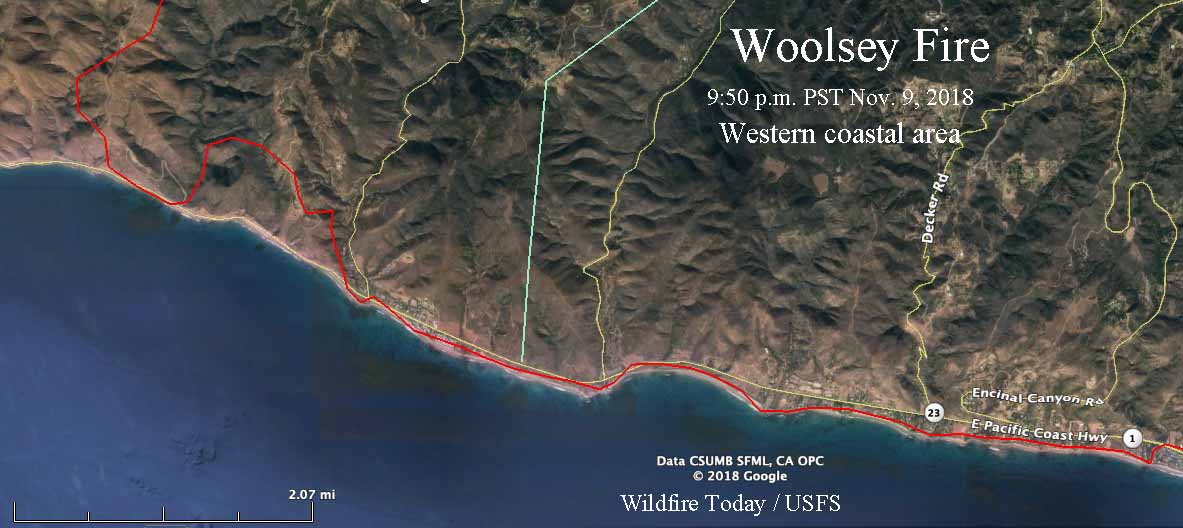
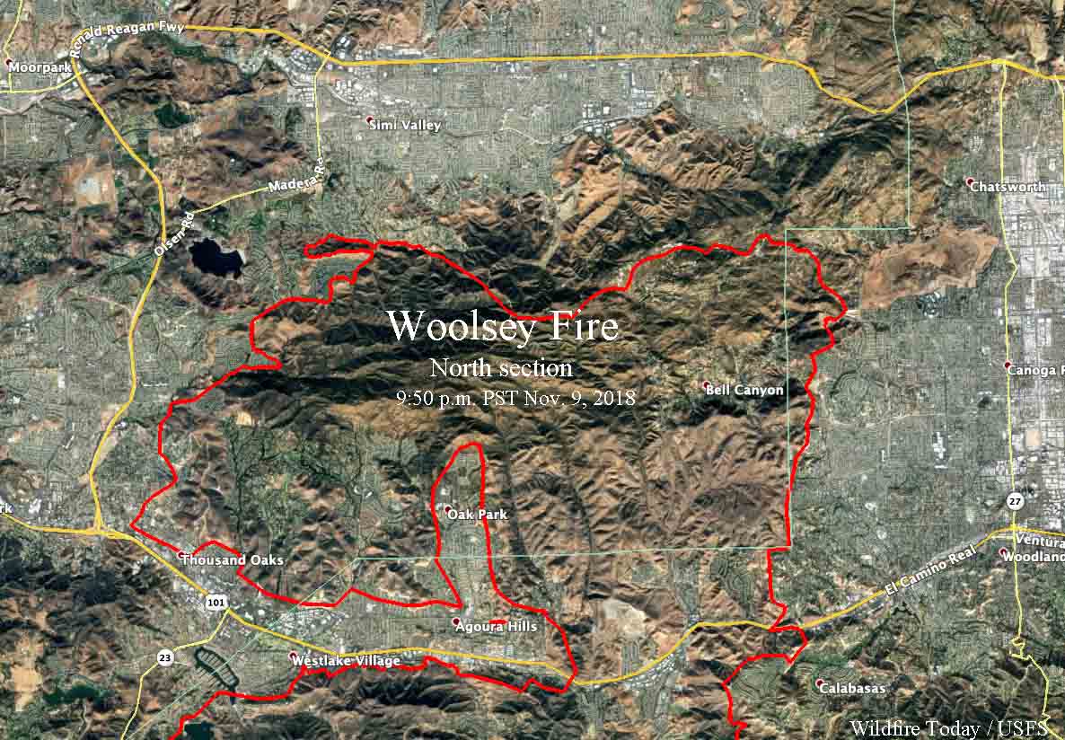
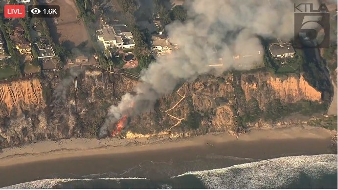
The Woolsey Fire advanced to the Pacific Ocean Friday, spreading 15 miles south from Simi Valley to Malibu. A 15-mile long section of the coastal communities were invaded by flames, which then crossed the Pacific Coast Highway (PCH) along a five-mile stretch near the Mulholland Highway and Decker Road. An unknown number of multimillion dollar mansions and more modest homes succumbed to the fire as about 200,000 residents evacuated from 75,000 homes in Malibu, Calabasas, Agoura Hills, Oak Park, Thousand Oaks, and other areas. The Los Angeles County Fire Department PIO said at 6:52 p.m. Friday, “…very significant number of homes in the operational area damaged or destroyed by fire”, and that it had burned approximately 35,000 acres.
(To see all articles about the Woolsey Fire on Wildfire Today, including the most recent, click here.)
A mapping flight Friday night at 9:50 determined that the fire had burned 89,906 acres, but it was still spreading.
There have been no confirmed reports of fatalities.
There were reports that the fire was very close to Pepperdine University in Malibu near the PCH and Las Virgenes Road, but the University tweeted at 3:34 a.m. that they were OK.
Los Angeles County Fire strike teams and air operations are working to contain the flames around the Malibu campus. No permanent structures have been lost, and all individuals on campus remain safe in relocation sites. #pepperdine #woolseyfire
— Pepperdine University (@pepperdine) November 10, 2018
@FirePhotoGirl broadcast live video from the general area of Pepperdine at around 1:30 a.m. Saturday.
— FirePhotoGirl (@FirePhotoGirl) November 10, 2018
Below are maps, zoomed in, of where the Woolsey Fire reached the coastal areas, and of the northern section of the fire.