Animating still photos of fires

Today I have been experimenting with an app that recently became available for iPhones and iPads, called Plotagraph. It can be used to animate still photos and seems like a natural for manipulating photographs of fires. You can’t use the app to create new stuff in the photo, but you can take what’s there and make it move.

So far I’ve worked on three photos. One had flames that were fairly easy to isolate and another had smoke that was easy to work with. The third was a B-17 dropping retardant.

The way it works is, first you identify what areas in the photo you do not want to animate, then you indicate the direction and speed for the motion. When finished, it can be saved as a video.

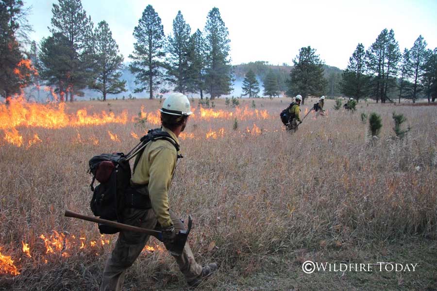
The first one, below, shows a member of the Alpine Hotshots who was working on the 2014 Norbeck Prescribed Fire in Custer State Park.

The next one is from the 2012 White Draw Fire.

And finally, retardant from a B-17.

If you’re having trouble viewing the videos, you can see them on YouTube.

To get your own prints of the original still images…..

Art Prints

Photography Prints

Sell Art Online

Revisiting the Norbeck prescribed fire

In case you missed it, here is the video we shot at a prescribed fire in South Dakota in 2014.

The Alpine Hotshots, a National Park Service hotshot crew from Colorado, is shown using drip torches to ignite vegetation on the Norbeck Section 2 prescribed fire. The project which began October 20, 2014 involved almost 2,000 acres in Custer State Park, Wind Cave National Park, Black Hills National Forest, and private land.

*****

Sell Art Online

Report: USFS won’t let forest ecologist talk about reforming fire management

Norbeck prescribed fire,
Alpine Hot Shots ignite the Norbeck prescribed fire in Wind Cave National Park, South Dakota. October 21, 2014. Photo by Bill Gabbert.
An article at Capital Public Radio claims that the U.S. Forest Service will not let a forest ecologist talk about an article he co-wrote titled “Reform Forest Fire Management”. The two-page opinion piece about making forests less prone to wildfire appeared in Science, and was written primarily by USFS and university employees.

Below is an excerpt from the article at Capital Public Radio about the controversy:

****

“The US Forest Service Pacific Southwest Research Station won’t let forest ecologist Malcolm North talk about the study he authored in the journal Science.

The agency even unsuccesfully requested that Science editors hold the article or remove North’s name and affiliation from the peer-reviewed study.  The paper “Reform Forest Fire Management” says suppressing every fire in overgrown forests is not only expensive but dangerous and ill-advised.

Strong words perhaps, but UC Berkeley Fire Scientist Scott Stephens, who co-authored the paper, says they are not controversial.

“I read the paper many times,” says Stephens. “I just didn’t see something jump, like this would be something that would really cause great problems.”

The study considers ways to make forests less prone to wildfire, by thinning trees in overgrown forests, using controlled burns or allowing natural fires to burn under the right conditions.

US Forest Service policy actually supports those actions, but the authors point out such efforts rarely occur. In the decade ending in 2008, only 0.4 percent of ignitions were allowed to burn as managed wildfires…”

Norbeck prescribed fire — three months later

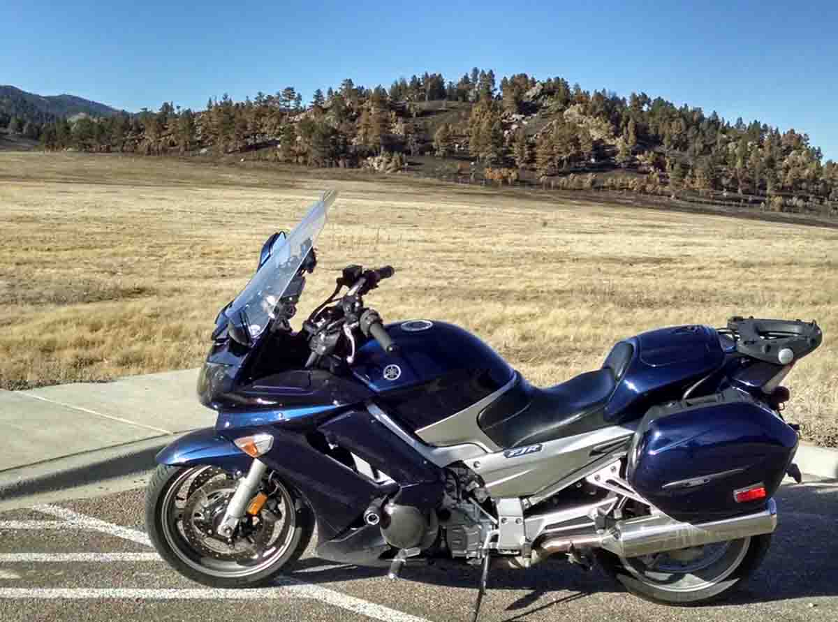
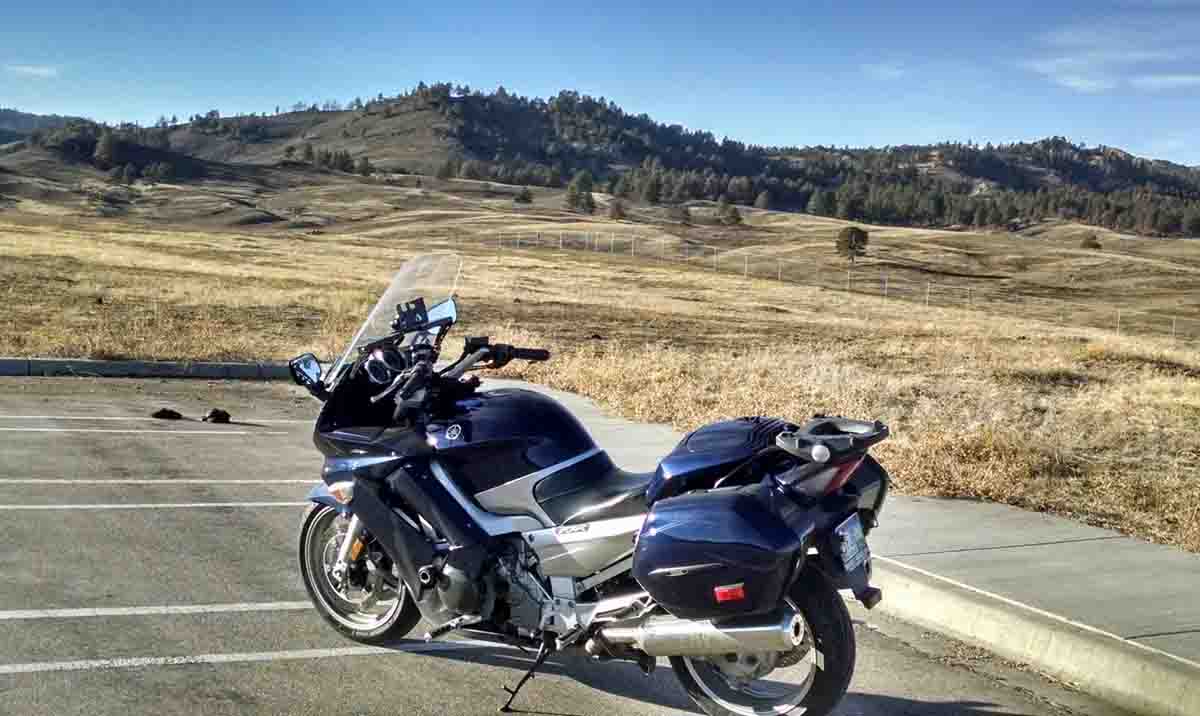
With the temperature approaching 70 degrees Tuesday afternoon I could not resist the urge to blow some cobwebs off my motorcycle. I cruised into Wind Cave National Park and took some photos with portions of the Norbeck Prescribed Fire in the background. The first and third photos were taken last fall on October 20 and 21, while the second and fourth were shot today, January 27, 2015.

The first and second, and the third and fourth photos show approximately the same areas.

Norbeck prescribed fire
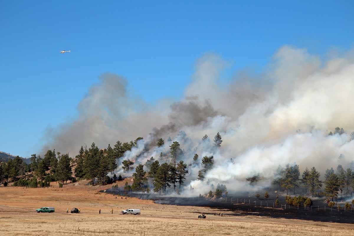
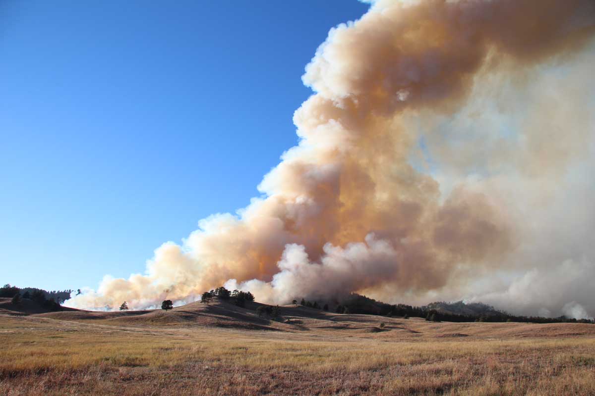
Norbeck Prescribed Fire, October 21, 2014, across the highway from the lookout tower in Wind Cave National Park. This location is similar to the one in the photo below.
Norbeck prescribed fire
Site of the Norbeck Prescribed Fire, January 27, 2015, across the highway from the lookout tower in Wind Cave National Park. This location is similar to the one in the photo above.
Norbeck prescribed fire
Norbeck Prescribed Fire, October 20, 2014, near the boundary between Wind Cave National Park and Custer State Park. This location is similar to the one in the photo below.
Bike and burned hill near St Pk bdy
Site of the Norbeck Prescribed Fire, January 27, 2015 near the boundary between Wind Cave National Park and Custer State Park. This location is similar to the one in the photo above.

Other articles on Wildfire Today tagged Norbeck Prescribed Fire.

All photos were taken by Bill Gabbert.

Time lapse of Norbeck prescribed fire

This time lapse video shot by the South Dakota Wildland Fire Division shows the final portion of the ignition of the Norbeck Section 2 prescribed fire, as the lines were tied in at the south end of the project on Tuesday, October 21, 2014. The GoPro camera placed on the Rankin Ridge Fire Lookout Tower in Wind Cave National Park was set to record an image every 30 seconds.

The camera is looking west at the intersection of Highway 87 and Rankin Ridge Road (391). Google Maps.

The project was a multiagency effort with state, federal, and local firefighter participation on state, federal, and private land.

More information about the Norbeck Section 2 prescribed fire.

Video from the Norbeck prescribed fire

The Alpine Hotshots, a National Park Service hotshot crew from Colorado, is shown using drip torches to ignite vegetation on the Norbeck Section 2 prescribed fire. The project which began October 20, 2014 involves almost 2,000 acres in Custer State Park, Wind Cave National Park, Black Hills National Forest, and private land.