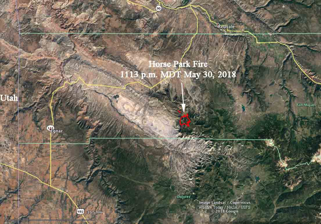
Above: 3-D map of the Horse Park Fire at 11:13 p.m. MDT May 30, 2018.
The Bureau of Land Management has released a 24-Hour Preliminary Report indicating that during initial attack on the Horse Park Fire in southwest Colorado on May 27, 2018 a command vehicle was abandoned and is thought to be a total loss. The driver was turning around when the vehicle got stuck. Due to the advancing fire, the driver and passenger had to flee on foot. There were no reports of injuries. In one of the videos shot at the fire you can hear a radio conversation about losing a vehicle but the firefighters made it out.
Wednesday night an infrared mapping flight found that the fire had not spread over the previous 24 hours. However, firefighters are reinforcing firelines in light of a Red Flag Warning and a forecast of strong winds out of the south Thursday afternoon at 22 mph gusting up to 37 mph with relative humidity levels in the single digits.
The Horse Park Fire has burned 1,240 acres in a remote area of San Miguel County 17 air miles south of Naturita and 40 miles west of Telluride.


