Australia’s National Aboriginal and Islander Day Observance Committee (NAIDOC) Week started on July 7 with a commitment from bushfire researchers at the University of New South Wales (UNSW) in Canberra City.
The university has previously published numerous articles of landmark research on bushfires, including creating the world’s first extreme bushfire warning system, developing the first fire-retardant paint that passes the stringent BAL-40 test, and studying the long-lasting impacts of Australia’s “Black Summer” Bushfires.
University researchers have made a new commitment to future bushfire projects, vowing to incorporate more Indigenous practices.
“UNSW Canberra researchers are working to better incorporate Indigenous practices and understandings of fire in bushfire management, to better prepare for an increasingly uncertain future thanks to climate change,” a press release from the university said.

Similar to the practices of various Native American tribes, fire played an intrinsic role in the lives of Australia’s Indigenous communities of Aboriginal and Torres Strait Islander peoples for countless generations, and is still in use today.
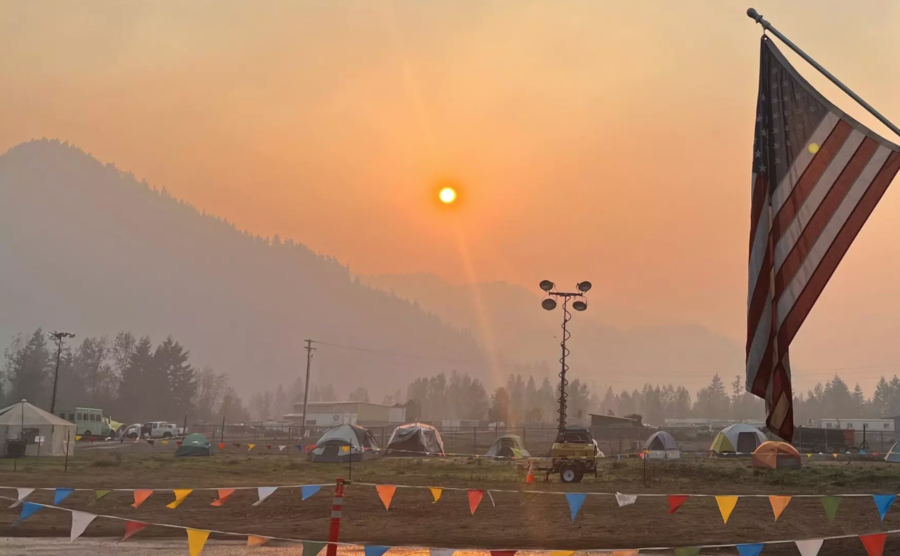
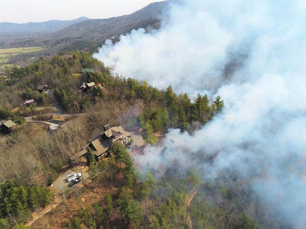
Small controlled fires help them hunt, clear pathways through bush, and regenerate vegetation, according to The Nature Conservancy. “Cool Burns” have recently made a comeback after centuries of Euro-Australian suppression diminished the practice, caused by early colonizers’ view of fire as only a threat rather than a land-management practice. The loss of managed fire on Australia’s landscape, along with climate change, is a direct contributor to the severe bushfires that have burned the country since.
UNSW Bushfire Director Jason Sharples, a member of the Aboriginal Bundjalung people, said Indigenous fire knowledge adds needed depth to modern bushfire research.
“Local Indigenous people would know the land was ready for a burn when certain environmental indicators aligned, for example, when wattle flowers fell and when certain cloud formations were observed over prominent mountains,” Sharples said.
“Essentially, Country told them the right time to burn, and the people would offer fire as a gift back to Country. From a Western scientific perspective, this aligns with selecting the correct season based on the native flora, and only burning on a day when temperature and relative humidity conditions are within an acceptable range, as indicated by the cloud formations.”
UNSW is already working on two projects with the commitment to Indigenous practices in mind. One of the projects is studying how ridgelines, which correspond closely with Indigenous Songlines, cause unique wind patterns and influence fire spread. The other project compares modern bushfire regimes in southeast Australia with traditional fire regimes, Indigenous calendars, and cultural fire lore to better understand how climate change will affect future bushfires.
The university’s commitment pairs well with this year’s NAIDOC theme: “Keep the Fire Burning! Blak, Loud and Proud.” The theme conveys the strength and vitality of the nation’s Indigenous cultures which have stayed alive for generations despite historic and ongoing oppression and persecution.
“NAIDOC Week is a good opportunity to remind ourselves of the importance of promoting the cultural practices and learnings of Indigenous Australians and this will remain central to the work we do within UNSW Bushfire,” Sharples said.