(UPDATED at 8 a.m. PT, August 1, 2015)
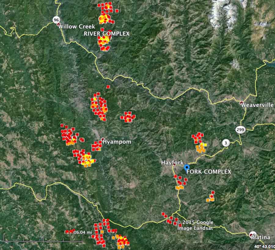
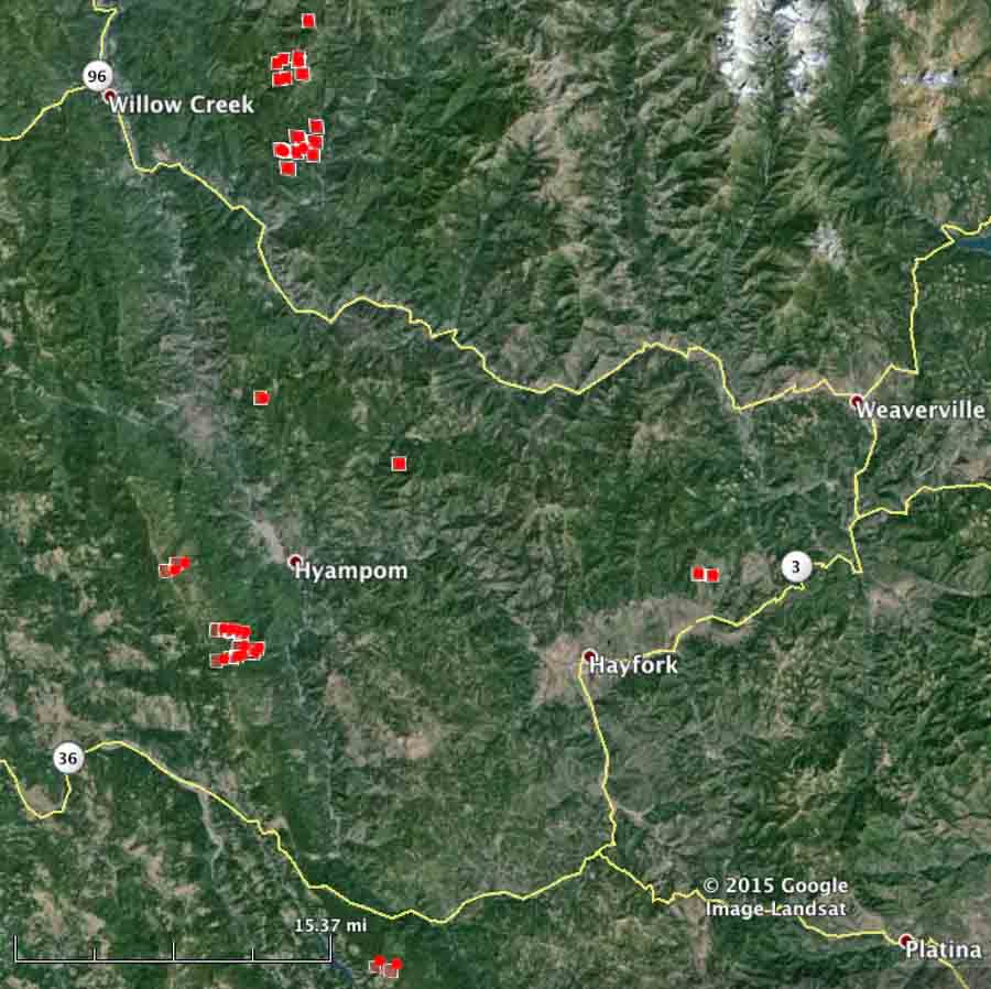
The Shasta-Trinity clearly has a massive wildfire situation on their hands. The lightning-caused fires detected Friday have grown significantly in the last 24 hours. Compare the map below with the similar zoomed in image at the bottom of this article.

Friday night a spokesperson for the Shasta-Trinity National Forest reported that over the previous 48 hours the forest received 440 lightning strikes that resulted in over 60 fires. The largest of these fires is the Rail Fire near the town of Hayfork and is approximately 800 acres.
The County Sheriff issued mandatory evacuations because of the numerous fires around the towns of Hyampom, Trinity Pines, and the small communities outside Hayfork. A Red Cross Shelter is at the Solid Rock Baptist Church in Hayfork. The Trinity County Sheriff’s office or local law enforcement officials have the most current and detailed evacuation information.
To make matters worse, the area is under a Red Flag Warning for “abundant lighting” Saturday afternoon. Wetting rain is not expected to accompany the lighting.
Unless there is an extraordinary change in the weather over the next several weeks, this fire fight will last until the snow falls.
****
(Originally published at 8:47 a.m. PT, July 31, 2015)

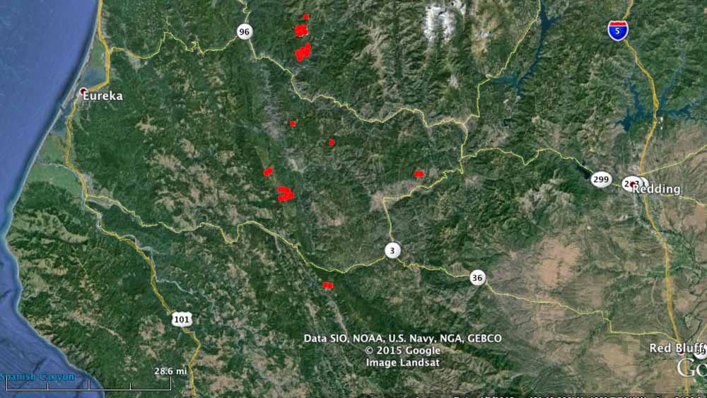
The Shasta-Trinity National Forest has at least 30 new fires, some large already, between Redding and Eureka, California (see the maps above and below). Storms on Thursday brought 150 lightning strikes that ignited the fires. Small towns in the general vicinity include Hyampom, Weaverville, Hayfork, Denny, and Willow Creek.
Three of the fires west of Denny and southwest of Hyampom appear from the satellite imagery to be more than 100 acres each.
The count of 30 fires was reported by the Shasta-Trinity NF at 7:20 p.m on Thursday, so there could be more that will be detected over the next couple of days.


CAFICC(fortuna) has 42 at the last count. Mad River complex
I believe “CAFICC” in this case stands for California Fortuna Interagency Coordination Center. There is a Fortuna on the California coast south of Eureka. Their WildCad page is HERE.
Not to be confused with “CA-FICC Federal Interagency Comm Center” which is completely different.