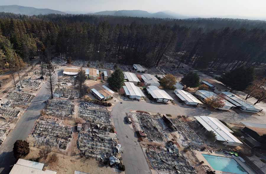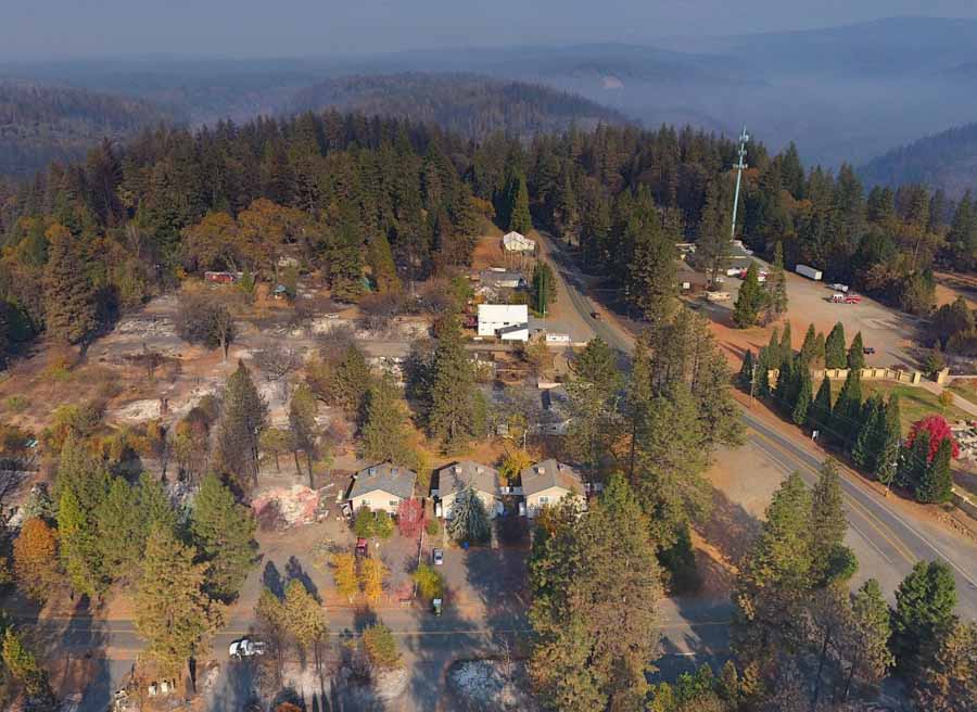
A large group of mapping and drone experts have photographed from the air the Paradise, California area that was devastated by the Camp Fire that roared through the communities November 8. The photos and videos shot by drones were all georeferenced and put into a map format, making it possible for residents to check the status of their homes. Drones flew above all of the major roads shooting videos, and 360-degree photos were taken from the air in 200 locations which can be panned and zoomed. The resolution is very good since they were taken with 20 megapixel cameras.

The maps can be viewed at the Butte County website. The site is a little glitchy and I found that it did not work well with the Chrome browser; the street names, videos, and 360-degree photos were not available. It worked fairly well with the Firefox browser, but a window on the left side could not be eliminated which obscured about half the map. I did not try it with Internet Explorer. In spite of these issues, what the group accomplished in about two days is an incredible achievement, and may be the first time the process has been used on this scale to provide such detailed information to a population suffering from a natural disaster.
To see all of the articles on Wildfire Today about the Camp Fire, including the most recent, click HERE.
The 16 teams of drone operators conducted 500 flights in two days to collect 70,000 photos over 17,000 acres.
In addition to this resource, officials are mapping one by one the structures affected by the fire. That map is also available to residents who want to check on the status of their homes.
The video below explains the technical details of how the imagery was collected and displayed.

I can’t find out if 5884 Cameron lane survived
Doesn’t look good, Patty. Most of that neighborhood didn’t make it. Load this page
https://bit.ly/2DiHDSg
and type the address into the box at top left and you’ll find it.
Best of luck.
hi my name is scott cooper .I am trying to find out status and a picture of my fathers double wide mobile home in 1718 eden roc estates space 58 his name is floyd cooper and he is living with me in washington state my phone number is 425 971 5165
Scott, did you check the online maps? Eden Roc Estates didn’t have many surviving homes.