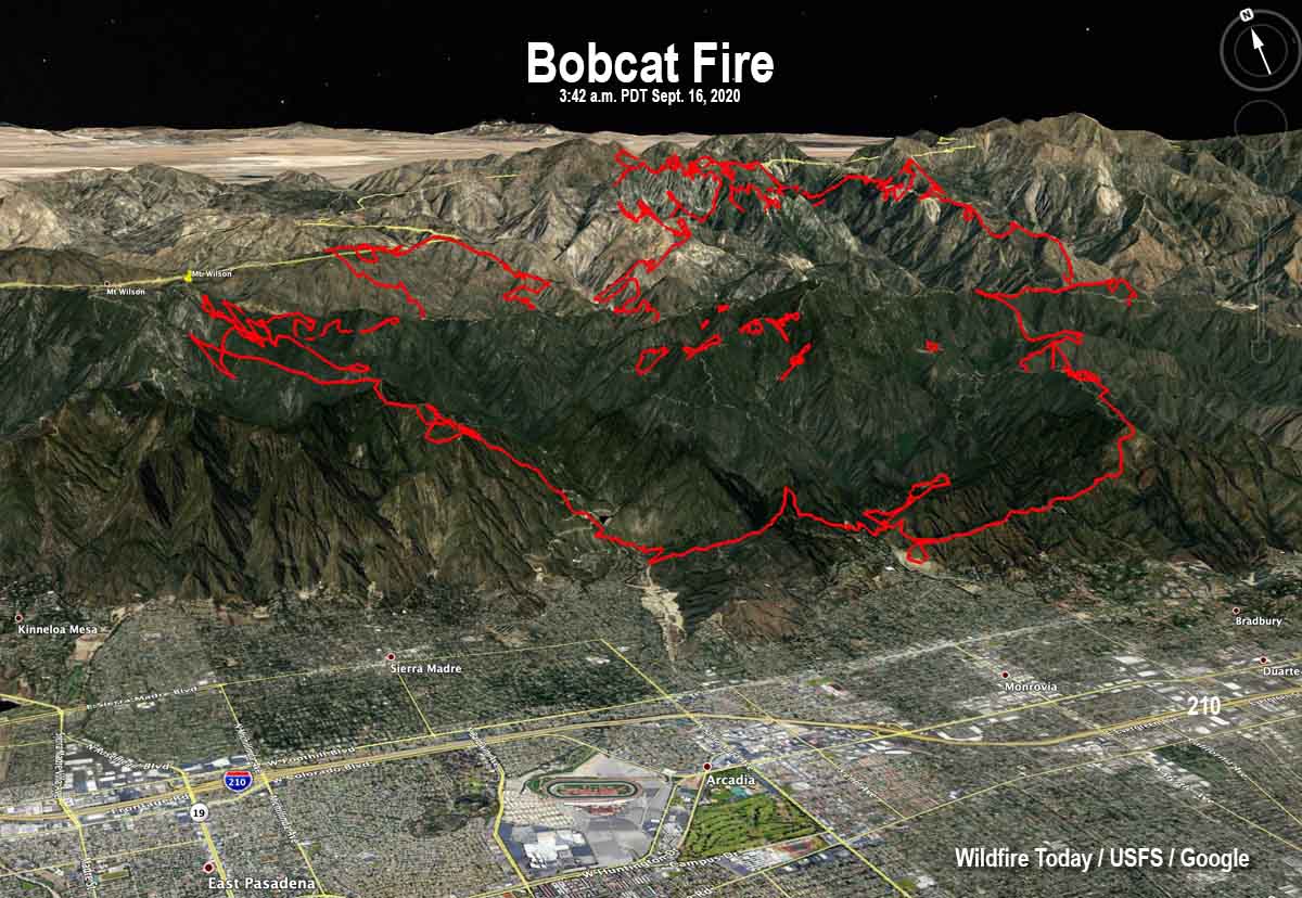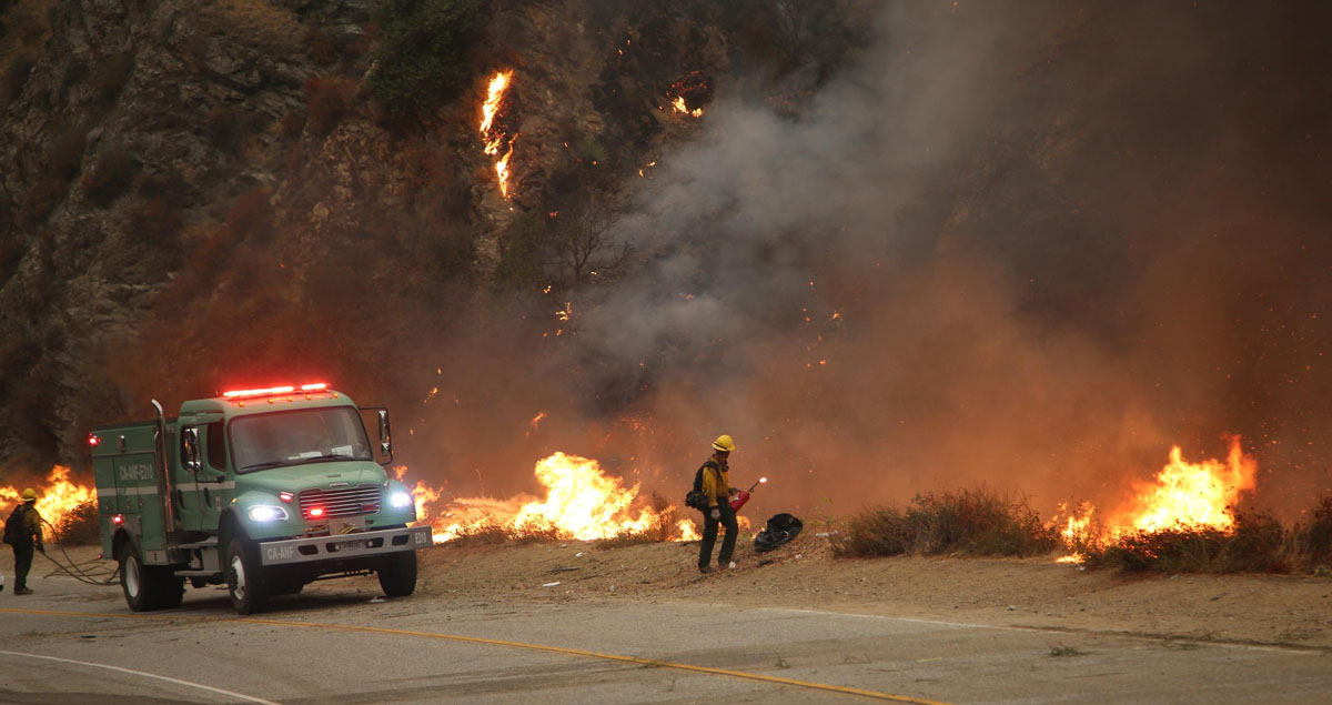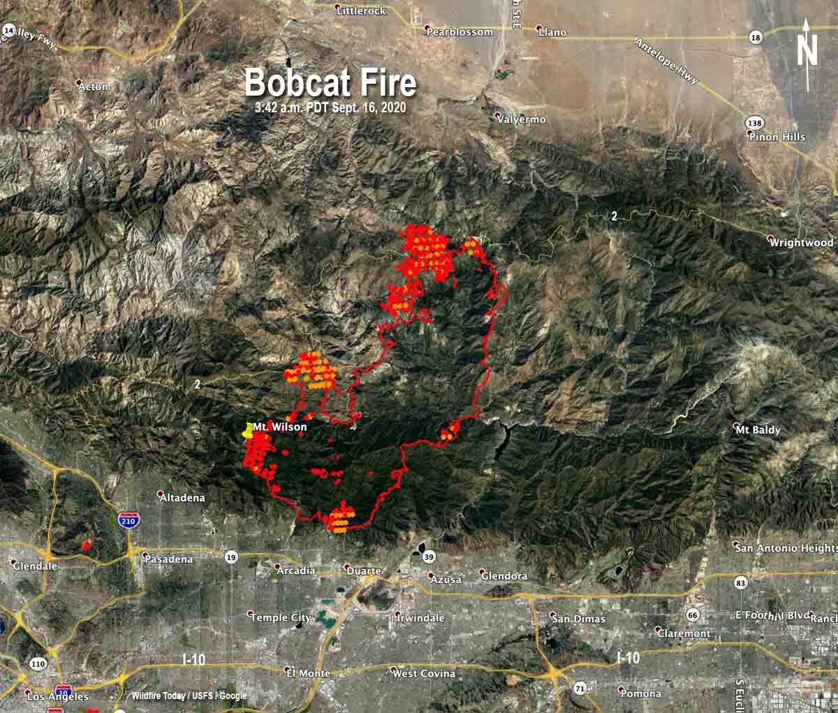
The north end of the Bobcat fire has burned across the Angeles Crest Highway (Hwy. 2) burning approximately 800 acres on the north side near Waterman Mountain and Cooper Canyon.
Seven air tankers were used to help firefighters contain the spot fires north of the highway until about 1:30 p.m. Wednesday when smoke limited the visibility. When the smoke cleared at 3:30 several tankers were again used.
Firefighters are holding on to what has been accomplished on the rest of the fire over the last few days near the foothill communities and Mt. Wilson Observatory. Crews are strengthening the lines and looking for opportunities to attack the fire directly. Additional strategic firing may occur as necessary to secure the lines, including along along Highway 39.
The blaze is burning on the mountain slopes above the communities of Arcadia, Sierra Madre, Monrovia, and Duarte.


Did Newcombs Ranch restaurant and bar survive the Bobcat Fire?
Any information if Mt. Waterman Ski area / lifts were burned down?
The maps tell a sad story. The heat signatures are close or maybe on top of the ski area.