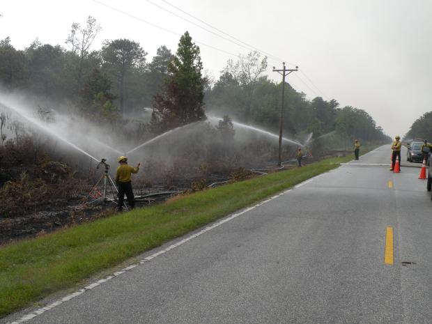
Due to weather that has been more favorable for firefighters, the Pains Bay fire on the North Carolina coast has been relatively quiet the last two days. Here is an update from the Incident Management Team that was released Wednesday night at 8 p.m.:
- Light winds and some overnight rainfall helped firefighters today. Fire intensity dropped and good progress was made today establishing and widening control lines on the north portion of the fire. Aircraft were more effective with less smoke and better visibility.
- Current size of the fire is 28,860 acres.
- US 264 will re-open Thursday, May 26. Pilot car escorted travel on US 264 will begin at 10:00 AM, Thursday morning. Initially, travel will be limited to 10:00AM- 7:00PM daily. Fire officials plan to extend the hours of travel in coming days as smoke along the roadway subsides. Drivers should expect up to 30 minutes wait at check points. Delays due to heavy smoke or fire suppression activities should be anticipated.
- A threat still exists to the Stumpy Point community. Conditions are being monitored and the need for evacuation is being assessed on a continuous basis.
- Smoke was lighter on the vicinity of the fire today, but heavy smoke will continue to affect nearby communities in days to come.
- Containment is now estimated at 65 percent due to the escape.
In map of the Pains Bay fire below, the red area represents the current location of the fire.


