(UPDATED at 2:56 PDT June 2, 2016)
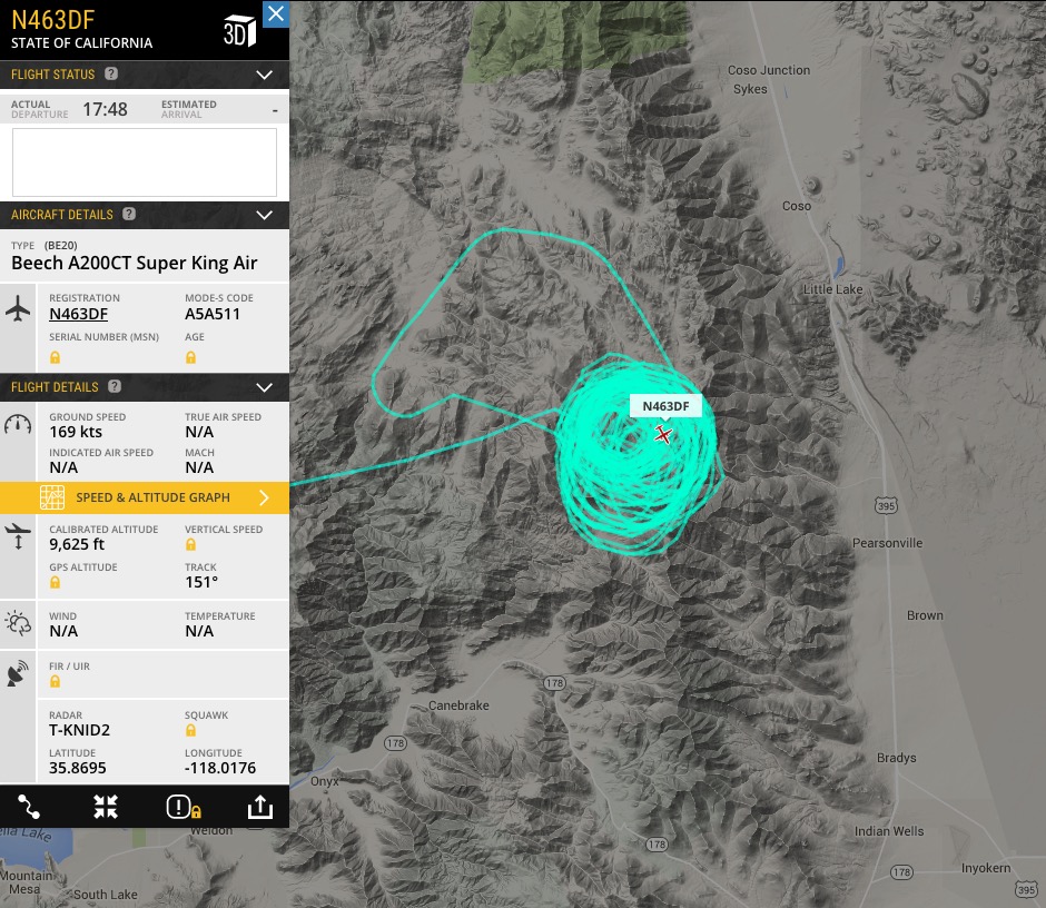
The CAL FIRE air attack ship appears to have located the Chimney Fire.
****
(Originally published at 11:05 a.m. PDT, June 2, 2016)

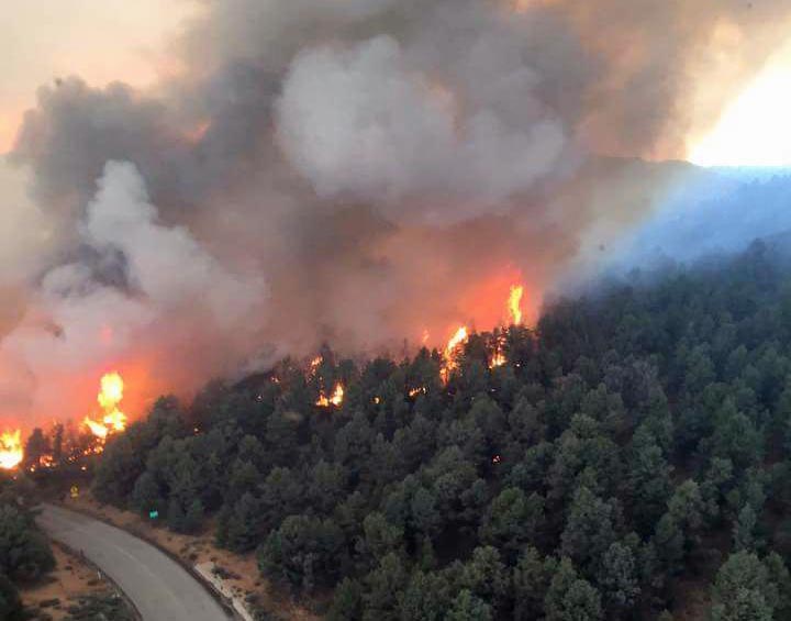
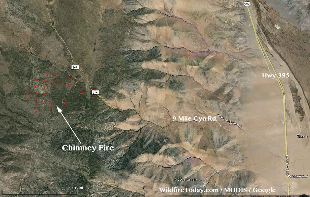
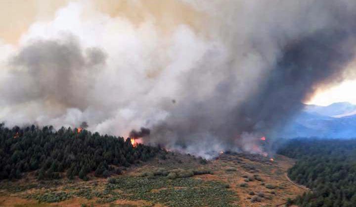
The Chimney Fire has caused evacuations in the community of Chimney Rock in California. Since it started on Wednesday, it has burned approximately 1,000 acres, and is located 7 miles west of Highway 395, 15 miles northwest of Indian Wells, and 25 miles northeast of Isabella Lake.
The video below was shot on Wednesday and gives a good overview of the fire at that time.
The fire is burning on Bureau of Land Management public lands in and adjacent to the Owens Peak and Chimney Peak wilderness areas. The Pacific Crest Trail, Nine Mile Road, and Canebreak Road are closed. Approximately 300 firefighters were on scene Thursday morning.


The National Weather Service forecast for the fire area Thursday afternoon predicts a temperature of 73, 16 percent relative humidity, and winds out of the south and southeast at 10 mph, increasing to 10 to 23 mph out of the west and northwest after 6 p.m.
A Type 2 incident management team, with Incident Commander Mills, will assume command of the fire today.


Article references HWY 295, should be HWY 395 I believe. Otherwise, top notch as always, thanks Bill!
Fixed it. Thanks.