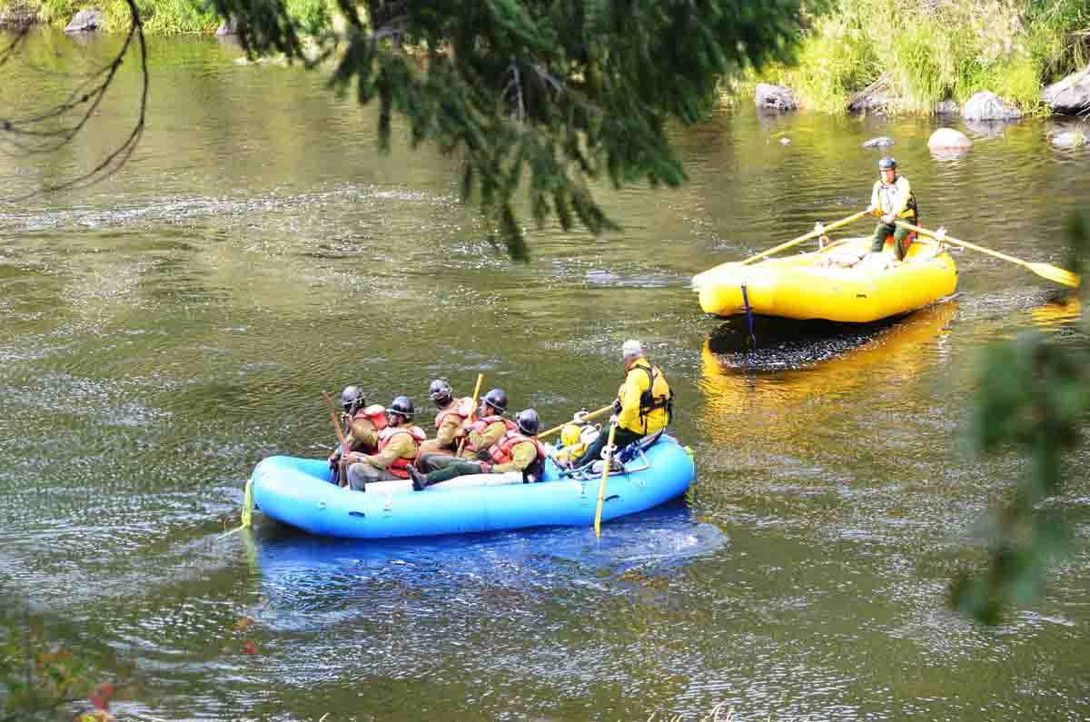
Above: The Gap Fire as seen from the Klamath River. Undated photo from InciWeb.
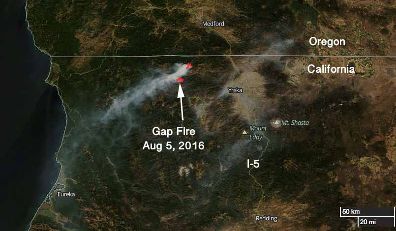
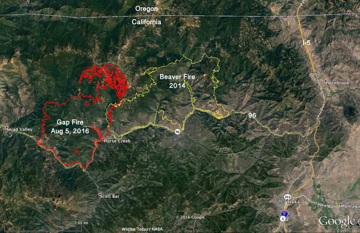
The Gap Fire has been burning in Seiad Valley 20 miles northwest of Yreka, California for 11 days. It grew quickly during that time to now cover almost 28,000 acres, but firefighters are beginning to get a handle on the blaze. That effort is helped by barriers on at least two sides — the Klamath River on the south, and the two-year old scar from the Beaver Fire.

The Gap Fire has burned into the footprint from the Beaver Fire. Burning operations along the river and on the north side are likely to hold those areas. And, the west flank is also looking good.
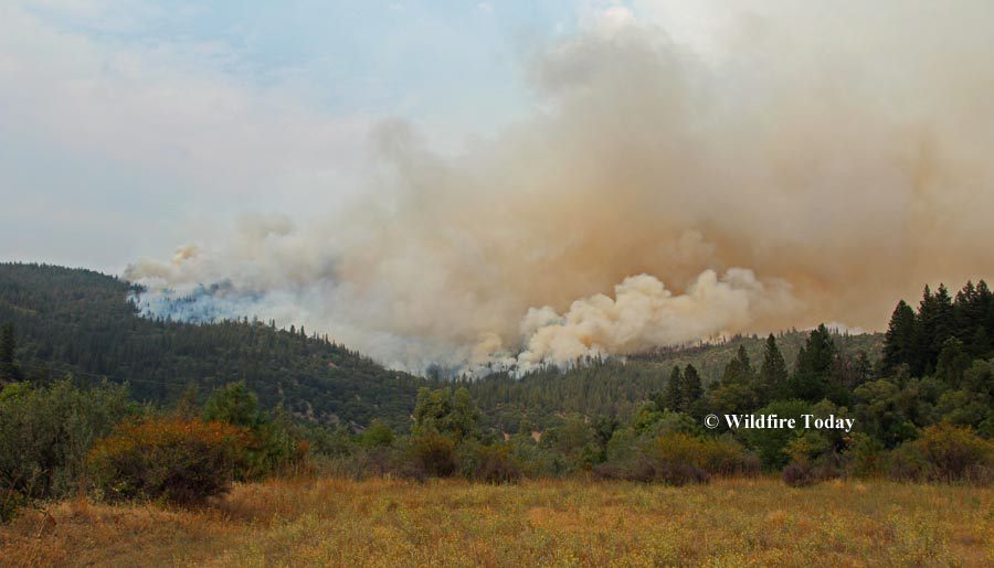
The photo below was taken August 12, 2014 at the Beaver Fire north of the Klamath River.

Advisory evacuations are in place for some areas along the Klamath River.
On Tuesday firefighters will continue to work on the firing operations on the north and south sides and provide structure protection along the river.
The incident management team reports that two structures were destroyed near Hick’s Gulch on the north side of the Klamath River, but have yet to be assessed on the ground.


