Above: The image from the new GOES-16 satellite is from March 6, 2017 just as the wind was shifting 90 degrees from the southwest to the northwest near the Kansas/Oklahoma border.
This article is for the weather and remote sensing geeks out there and anyone who is interested in the latest developments about the real time detection of wildfires from space.
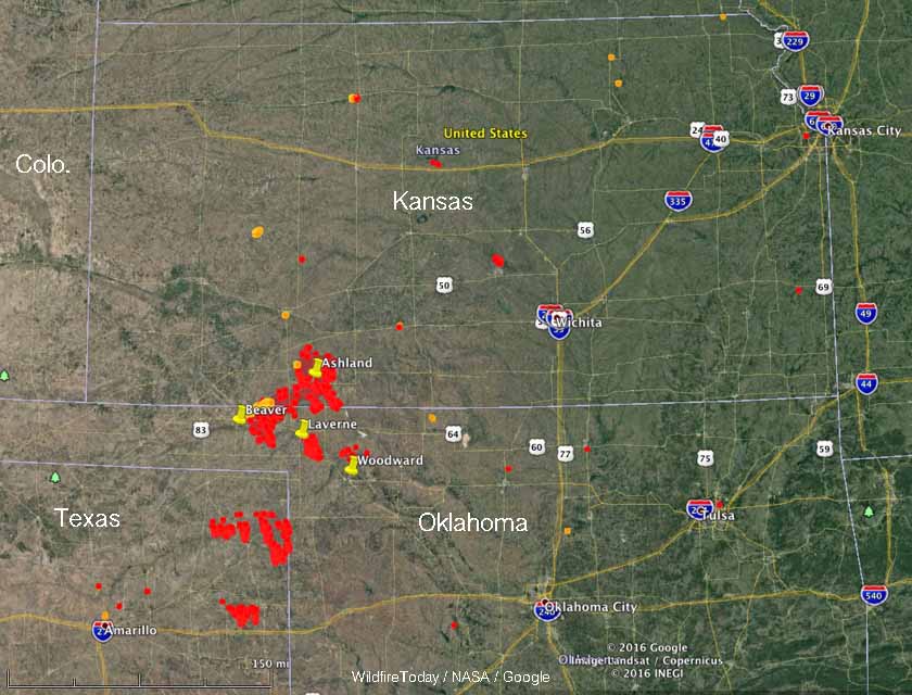
During the siege of wildfires on March 6 and 7 in Kansas, Oklahoma, and northern Texas strong winds before and after a frontal passage fanned existing small fires into huge firestorms that burned about a million acres in Kansas alone. Six people were killed and firefighters were stretched far beyond the capabilities of the mostly rural departments they served.
While this was going on a few meteorologists with access to the new, still being tested GOES-16 satellite were monitoring the emerging wildfire situation. This game-changing satellite orbiting hundreds of miles overhead has a baseline imager that will view the Earth with 16 different spectral bands (compared to five on current GOES satellites) and it will provide three times more spectral information, four times the spatial resolution, and more than five times faster temporal coverage than the current system. It also has the first satellite sensor dedicated to detecting real time lightning.
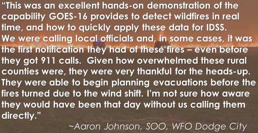
This video explains how data from GOES-16 was used as the fires were burning, including notifying fire departments of what the fires were doing, where they were, and what they were likely to do as the front passed, shifting the wind and the direction of fire spread 90 degrees from the southwest to the northwest.
If you don’t have time to view the entire 12-minute presentation, at least check out the change in direction of spread of the fires that begins at 8:30.

The images below are screenshots from the video.


