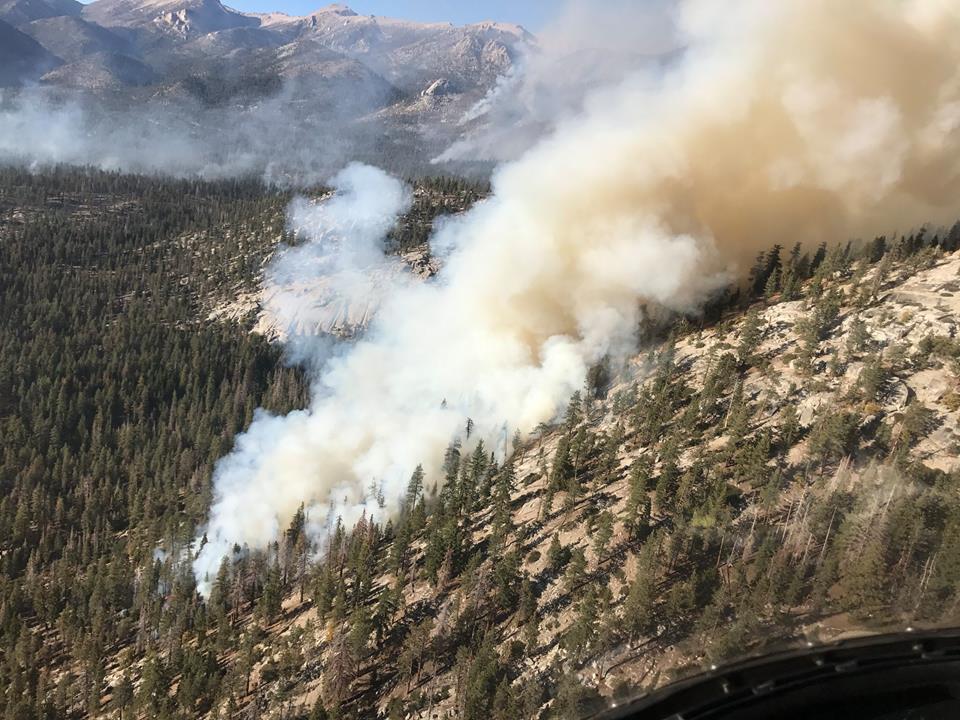
Above: A firing operation on the Lion Fire October 5, 2017. USFS photo.
(Originally published at 8:27 a.m. PDT October 6, 2017)
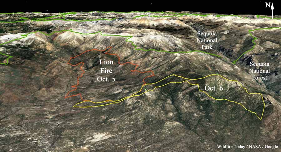
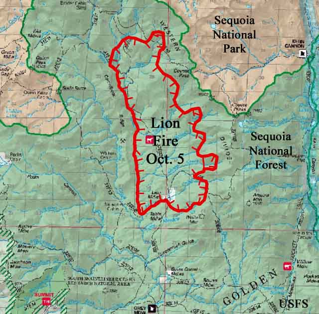
Firefighters in the Sequoia National Forest are using strategic fire as one of their main tools on the Lion Fire 30 miles northeast of Porterville, California in the Golden Trout Wilderness.
On Thursday a helicopter using a plastic sphere dispenser ignited fire on a rocky 9,000 to 10,000-foot elevation ridge, letting it back down the very steep slope toward the valley below. The incident management team reported Friday morning that the fire had grown to 8,100 acres, an increase of 250 acres over the previous day.

Resources assigned include 8 hand crews, 3 helicopters, and 2 engines for a total of 221 personnel.
As promised Thursday the National Interagency Coordination Center stopped listing the Lion Fire Friday on their daily Situation Report because of a lack of “significant activity” even though it doubled in size on Wednesday. The fire is not being totally suppressed, but is being managed to protect private property.


Gee, I wonder if the residents of Kern Valley and the Southern San Joaquin have had enough smoke from “Managed” fires on the SQF?