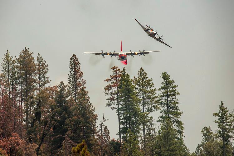
One of the primary factors affecting the spread of the Ferguson Fire west of Yosemite National Park in California is the weather — specifically, the inversions that have been trapping the smoke and partially blocking the sun. Since the fire started July 13 these inversions have been a frequent occurrence. They usually break up in the afternoon, allowing the intensity and rate of spread of the fire to increase. On Tuesday this weather phenomenon again kept the fire from making any big runs, allowing only another 1,693 acres to burn, bringing the total up to 37,795 acres.

Information from the Incident Management Team Tuesday night:
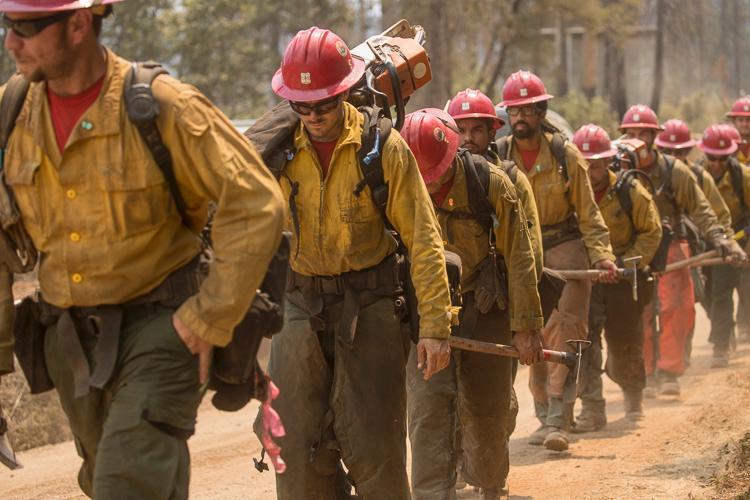
“North of the Merced River on the Stanislaus National Forest, firefighters constructed indirect containment lines up Soapstone Ridge, opening old roads near the burn scar of the 2013 Rim Fire. Crews strengthened and improved containment lines east toward Eagle Peak and down to El Portal.
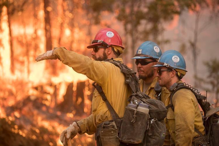
“Along the eastern edge of the fire, crews were successful initiating strategic firing operations to remove unburned vegetation between containment lines and the fire. Crews also evaluated structures for defensible space.
“South of the Merced River on the Sierra National Forest, containment lines were secured from Jerseydale across to Wawona Campground. Crews will continue planning strategic firing operations to help build a wider buffer to stop the fire’s spread.
“Yosemite National Park closure: Yosemite National Park officials announced closures to the Yosemite Valley and Wawona areas, as well as the Mariposa Grove of Giant Sequoias, effective noon on Wednesday, July 25. ”


Ferguson Fire now 74000 Acres with 41% containment. All Park Service employees have been evacuated from Yosemite Valley due to heavy smoke and power outage . Highway 120, Highway 140, and Highway 41 are all closed to public use leaving the Eastern Sierra Tioga Road to Tuolumne Meadows open as the only access into Yosemite High Country. Evacuation advisories for Highway 120 near Yosemite and Evergreen Road in the Stanislaus National Forest.
I went to one of the very well presented community meetings conducted by the fire team at Groveland this evening. Looks like Yosemite Valley may be closed for a week and the main road into Yosemite Highway 41 could be closed for up to two weeks while a 10000 + acre burnout operation takes place on the East flank of the fire.