Above: The Crescent Mountain Fire on August 15, 2018. Inciweb photo.
(Originally published at 1:50 p.m. PDT August 24, 2018)
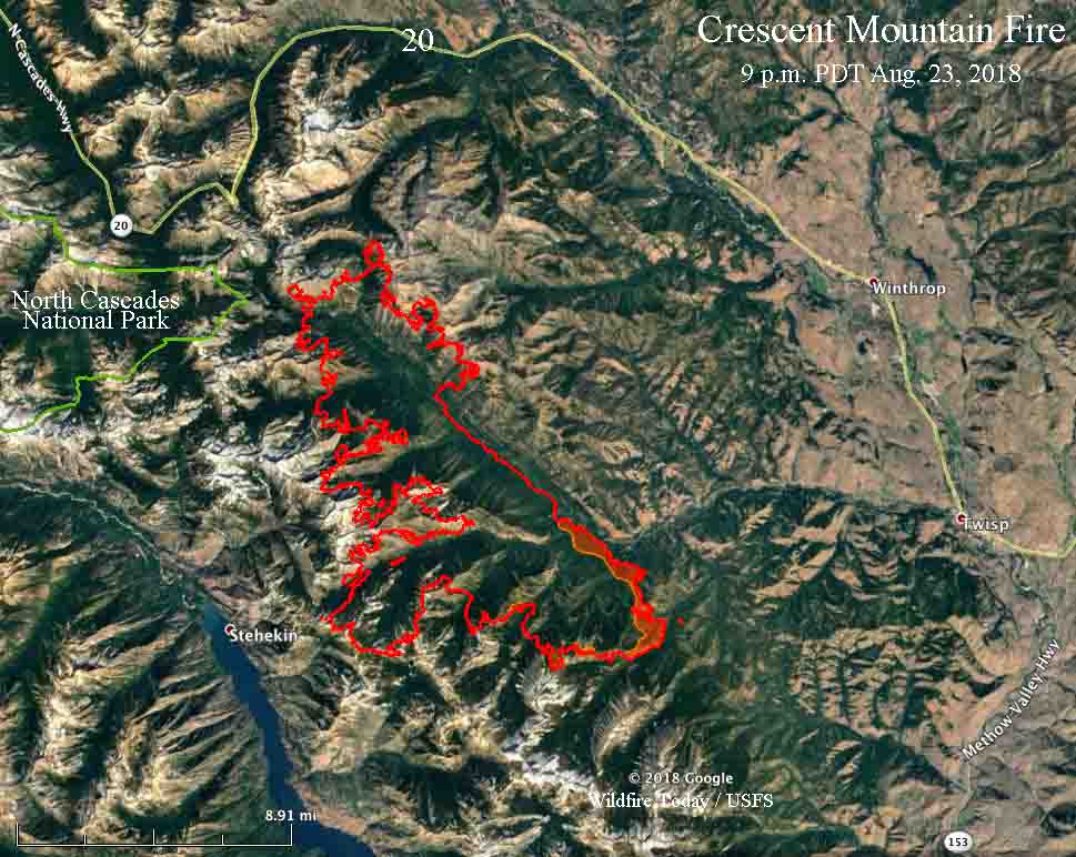
The Crescent Mountain Fire in north-central Washington has burned over 40,000 acres since a lightning strike started it on July 29. The fire is being managed at least in some areas as a less than full suppression fire. One of the primary reasons as you can see in the 3-D map below, is that the west side is burning into sparse vegetation above 7,000 feet in steep, remote, inaccessible terrain.

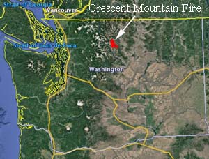
The fire is about 10.5 miles west of both Twisp and Winthrop, Washington.

Evacuation orders are in effect for West Buttermilk Creek Road and Twisp River Road, west of the Buttermilk Creek intersection.
Northwest winds on Thursday caused the fire to be very active. The area with the greatest growth was on the south slope above the Twisp River on both sides of Scaffold Canyon and up to Scaffold Ridge. It has burned down to the West Fork of Buttermilk Creek.
Firefighters provided structural protection and assistance to homes along the Twisp River corridor throughout the day Thursday. Air operations were able to effectively slow the advance of the fire.
On the southwest side crews continue to monitor the fire within North Cascades National Park. Most of the fire is on land administered by the U.S. Forest Service.


