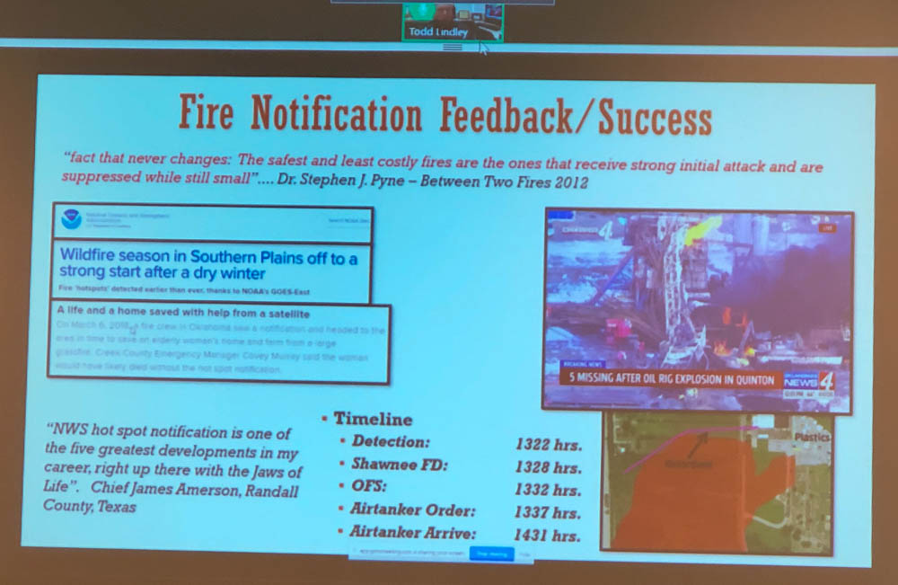
The higher resolution and shorter time intervals between images on the more recently launched weather satellites has made it a reality for wildfires to be detected and local land managers notified within minutes.
The new GOES 16 and GOES 17 satellites can identify new wildfire ignitions more accurately than their predecessors. The higher resolution means the location can sometimes be pinned down to within less than a miles as long as the temperature reaches the threshold that triggers the software to paint it in the image.
For a while the National Weather Service had occasionally notified land managers when they detected a wildfire but in 2016 as numerous blazes erupted in Oklahoma and Kansas the Oklahoma Forestry Services Fire Management Chief specifically asked for help to identify new fire starts. In an April 30, 2019 presentation transmitted remotely to the International Association of Wildland Fire’s Fire Behavior and Fuels Conference in Albuquerque, T. Todd Lindley, Science and Operations Officer with the NWS, said that considering the fire storms brewing in the area on that day in 2016 that someone on their staff determined that, “We need to innovate today”.

Within about four hours, Mr. Lindley said, they had developed a computer program that could enable a forecaster to send a notification to a land manager about a new fire very quickly, with just a few mouse clicks.
They have had success with the system, with 83 percent of notifications being received prior to local 911 calls.
And branching off of their ability to predict the tracks of thunderstorms and tornados and issuing watches and warnings, the NWS is experimenting with identifying the projected spread of a fire which could possibly lead to issuing watch and warning areas for wildfires.

A robust Sat detection system and rapid tactical response could prove a winning strategy.