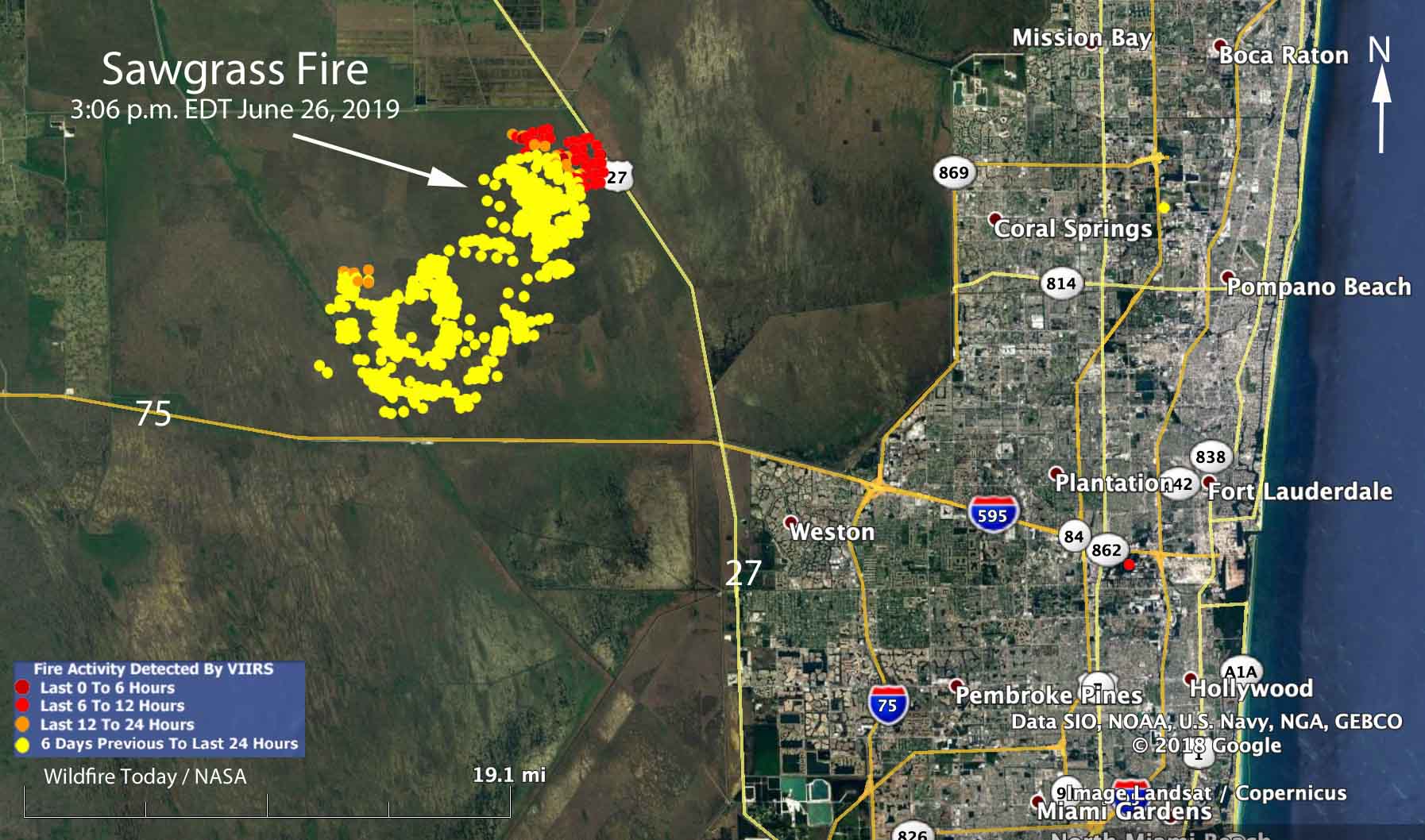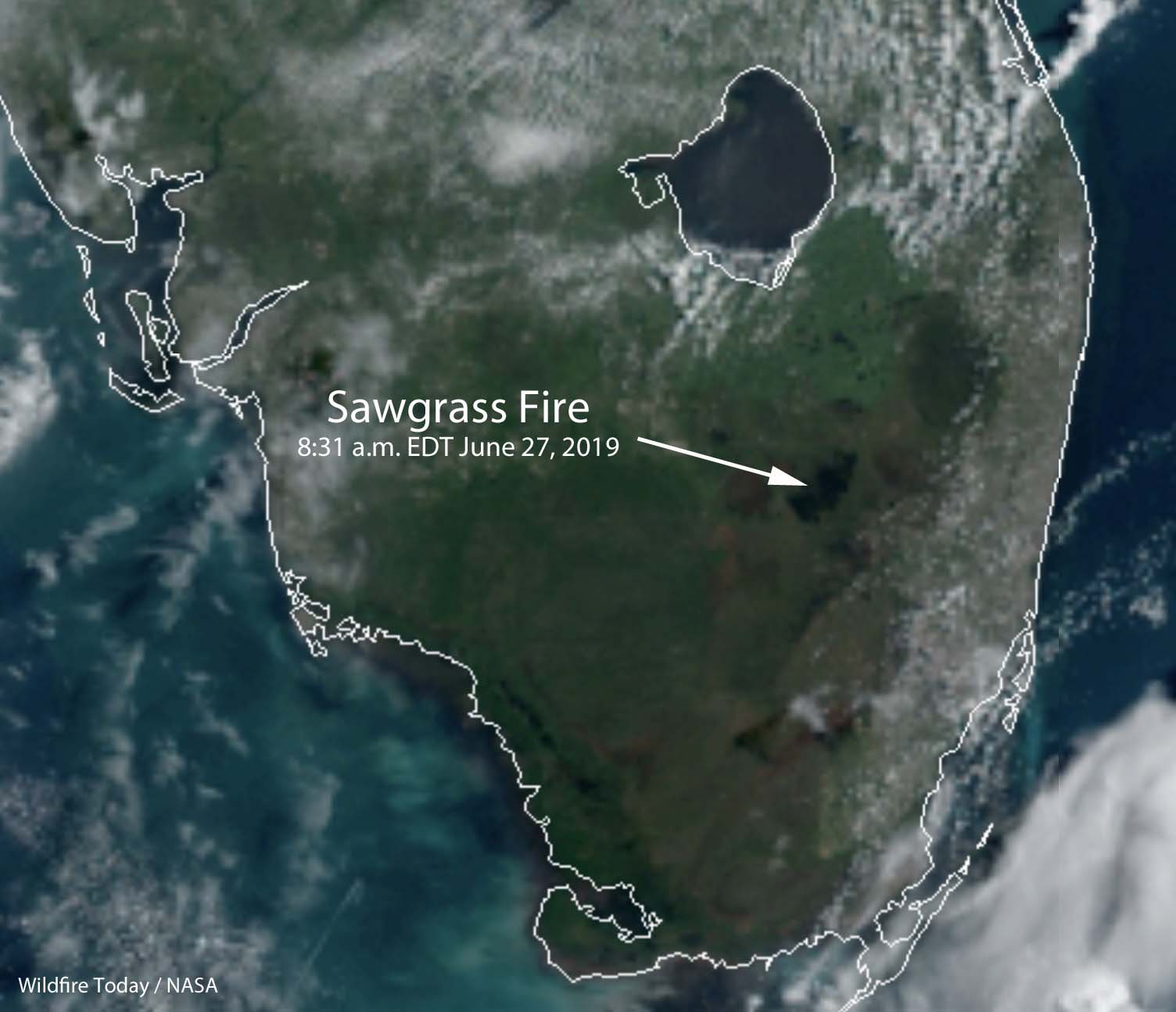
Rain off and on throughout the day on Wednesday accompanied by 97 percent relative humidity slowed the spread of the Sawgrass Fire in South Florida nine miles northwest of Weston.
Friday evening the Florida Forest Service mapped the fire at 42,000 acres. An aircraft will fly it again Thursday morning to get an updated size.
The winds Wednesday on the fire were variable, but were mostly out of the west and northwest, contrary to the forecast which predicted east or northeast winds which would have pushed the smoke away from the densely populated areas on the east side of south Florida.
As you can see on the map, the satellite detected little or no heat on the south and west sides of the fire during the Wednesday afternoon overflight. Clouds in the area prevented any later heat data from the satellite. The fire has approached State Highway 27 and the high voltage power lines on the west side of the road. This could be a result of natural spread due to the west and northwest wind, or possibly combined with a firing operation by the ten firefighters and the Type 5 Incident Commander assigned to the incident.
A weather station 15 miles northeast of the fire recorded 0.05 inch of rain Wednesday, but a couple of stations to the southwest received two or more inches, indicating thunderstorms moving through the area. There is only a 15 percent chance of rain on Thursday, but precipitation is much more likely during each of the following seven days.
If the forecast turns out to be accurate, the demise of the Sawgrass Fire seems likely in the next few days.

