(UPDATED at 3:43 p.m. MDT July 5, 2019)
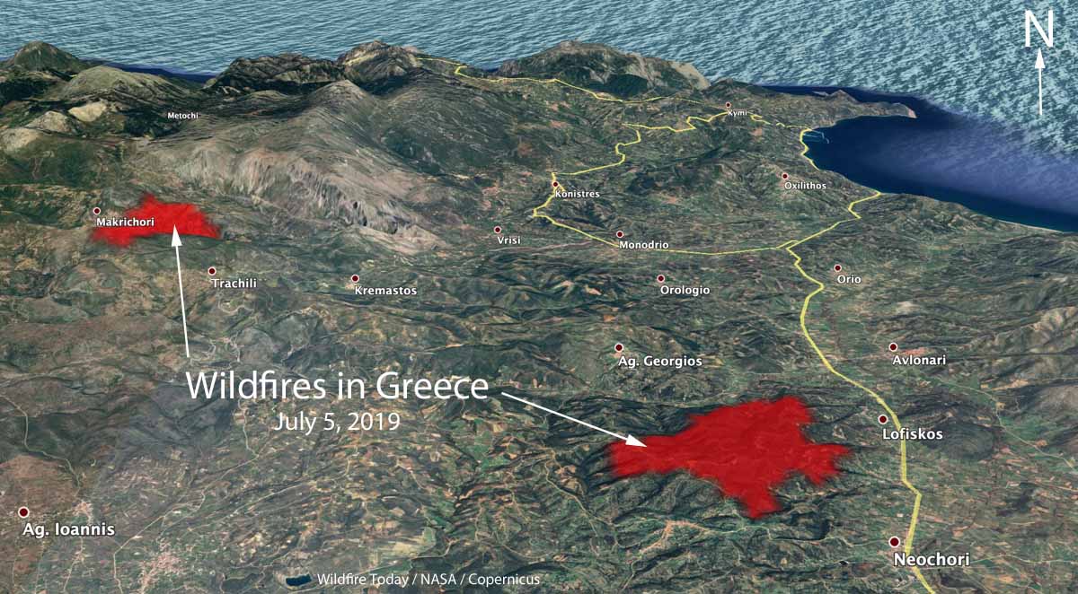
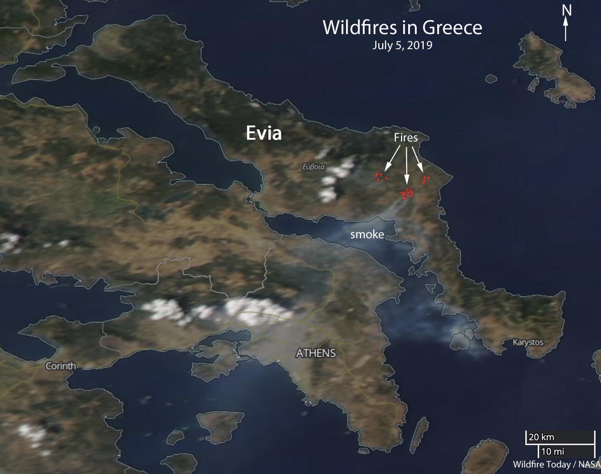
Multiple wildfires are burning on the Greek island of Evia, requiring the evacuation of Makrichori, Neochori, Dafni, Gavalas, and Lofiskos. (See the map above)
Two additional fires were reported late Thursday night, officials said, and another Friday afternoon, to bring the total to four.
According to the Fire Service, resources assigned to the fires include 330 personnel with 100 vehicles, 8 water-dropping airplanes, and40 helicopters.
Officials said a 64-year-old man had been arrested on suspicion of starting the first fire by using a naked flame to burn dried weeds near his house. The man will appear before a prosecutor in court Friday.
The fires are burning approximately 55 k (34 miles) north-northeast of Athens.

In July, 2018 a 1,276-Ha (3,153-acre) fire burned from Kallitechnoulopis, Greece through Neos Voutzas and Rafina, reaching Mati where it finally stopped at the coast.The fire killed at least 91 people and destroyed 1,220 structures.

They lost one of their air tankers piloted by the Greek Airforce around 2007 along the coastline on a fire just above the “smoke” label. Fuels at the crash site were 2-4 foot brush.