UPDATED at 6:09 p.m. PDT October 25, 2019
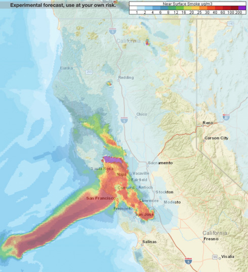
The map above is the forecast for the distribution of near surface smoke at 4 a.m. PDT October 26, in the San Francisco area and south as far as Santa Barbara.
7:56 a.m. PDT October 25, 2019

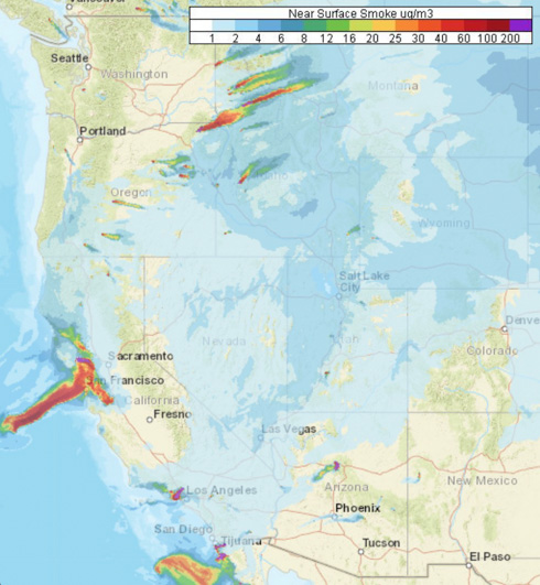
Forecasters predict that smoke from the Kincade and Tick Fires will heavily affect some locations in northern and southern California Friday. Especially affected will be the San Francisco Bay Area, from San Jose north to Santa Rosa, including the city of San Francisco.
Smoke from prescribed burning will be noticed by residents in Oregon, Idaho, and Montana.

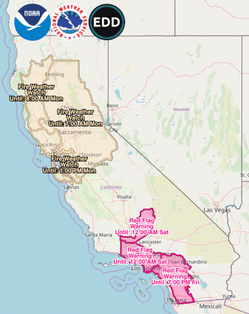
Red Flag Warnings will continue in Southern California until Friday night.

Very strong, dry winds are in the forecast for northern California beginning Saturday morning. This wind event which will continue into Monday is being described as “likely the strongest wind storm of the fall season” with northeast to east winds of 30 to 40 mph gusting at 45 to 70. The Watch areas in the map above will probably be upgraded to Red Flag Warnings by late Friday or Saturday morning.
(Red Flag Warnings can be modified throughout the day as NWS offices around the country update and revise their weather forecasts.)
