UPDATED at 6:42 p.m. PDT Nov. 4, 2019
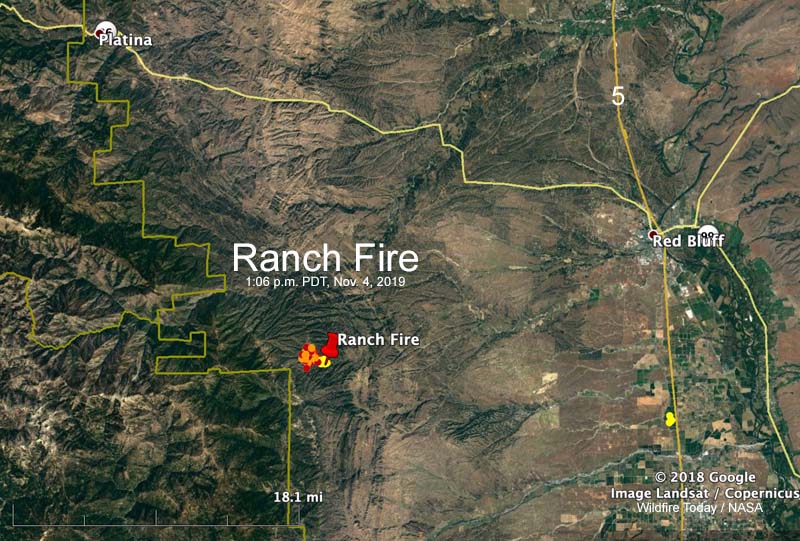
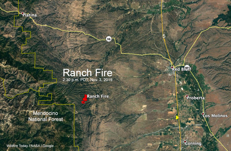
CAL FIRE reported Monday at 6:25 p.m. that the Ranch Fire 21 miles southwest of Red Bluff, California has burned 1,308 acres. Early Monday morning it was 550 acres.
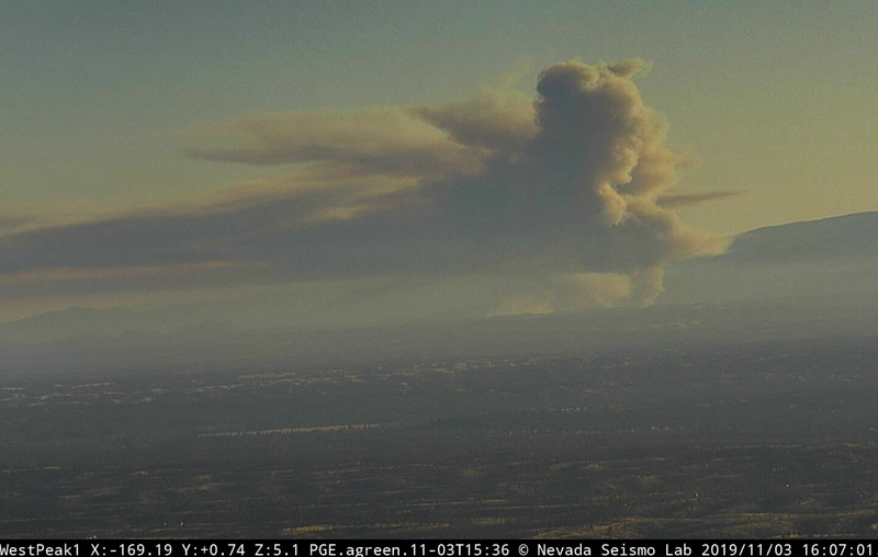
The fire was very active Monday afternoon as firefighters on the ground were assisted by numerous air tankers and helicopters.
The fire was originally reported at Colyer Springs Road and Raglin Ridge Road in Tehama County.
The weather forecast for the fire area on Tuesday calls for moderate fire weather; 77 degrees, relative humidity of 20 percent, and winds from variable directions at 6 mph. Early in the morning the wind will be out of the northwest but will shift throughout the day, becoming southeast by sunset. Similar conditions are expected on Wednesday except the wind will be 6 to 10 mph out of the north after 9 a.m.
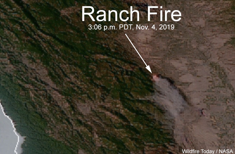
UPDATED at 7:06 a.m. PDT Nov. 4, 2019
CAL FIRE reports that the Ranch Fire has burned 550 acres. Satellite imagery from 2:36 a.m. on Monday showed that from the location in the map above, it spread to the west and north.
5:40 p.m. PDT Nov. 3, 2019
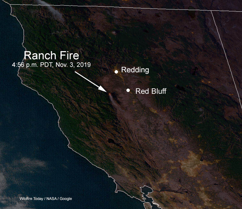
A new fire, the Ranch Fire, started Saturday afternoon in northern California about 21 miles southwest of Red Bluff. As the sun was going down firefighters on scene estimated that it had burned 446 acres. (see map above)
Evacuations are taking place:
EVACUATION WARNINGS: The Tehama County Sheriff’s Office has issued an evacuation warning for all of Colyer Springs Road to the forest boundary, north up to Mary Ellen Place and the eastern boundary over to Red Bank Road because of the #RanchFire
— KRCR News Channel 7 (@KRCR7) November 4, 2019
We will update this article as more information becomes available.
