UPDATED at 4:46 p.m. PDT July 20, 2020
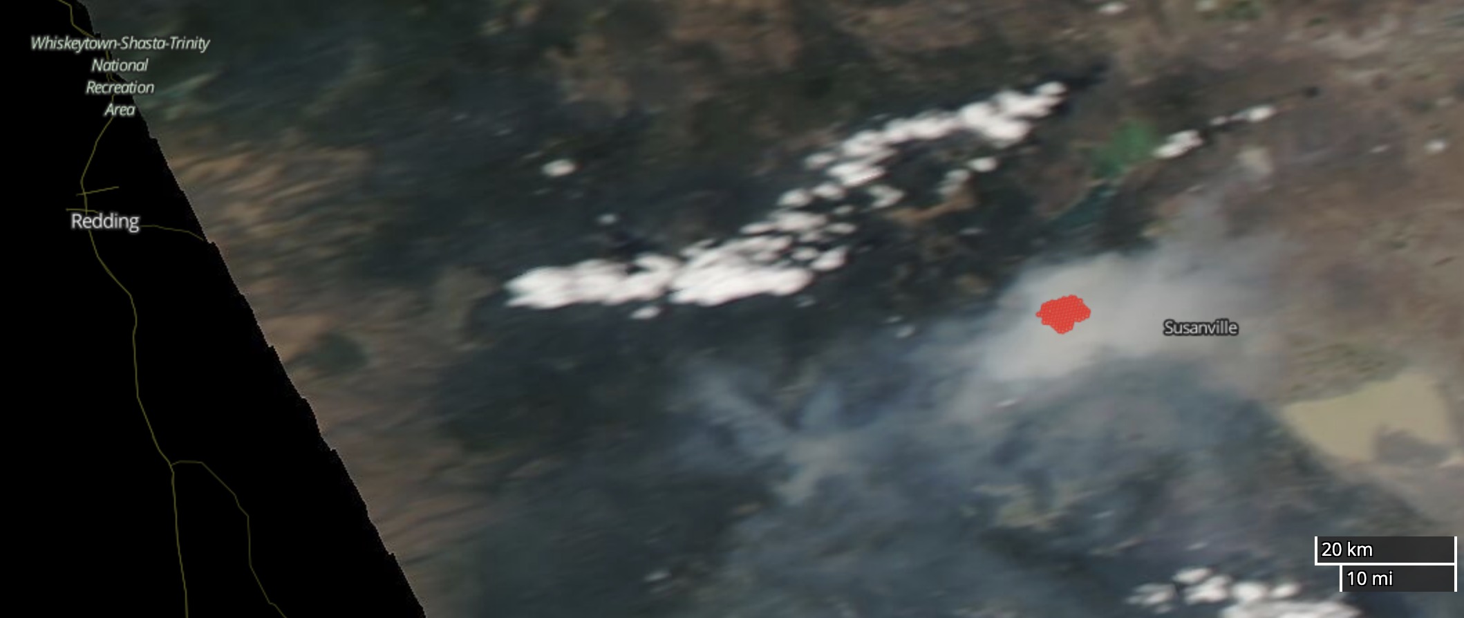
Much of the smoke from the Hog Fire west of Susanville, CA is remaining in the general area.
Updated at 4:14 p.m. PDT July 20, 2020
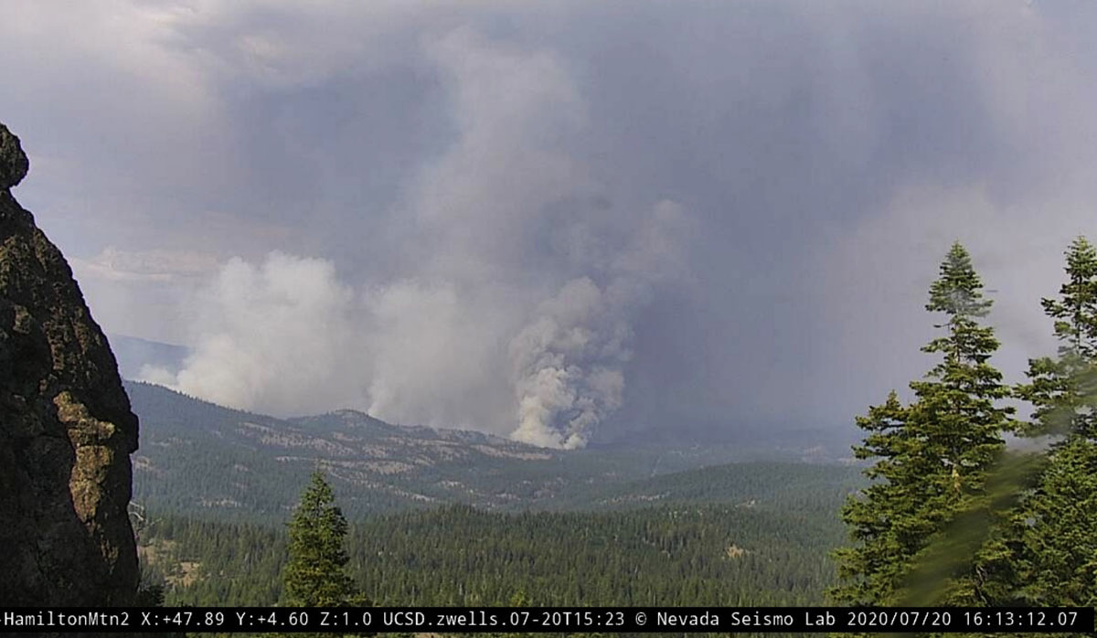
UPDATED at 5:16 p.m. PDT July 20, 2020
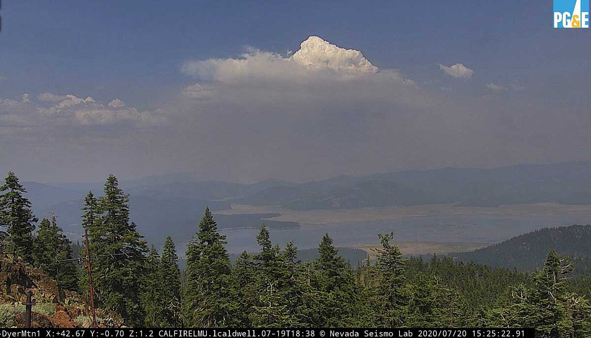
Several of the AlertWildfire cameras near the Hog Fire west of Susanville, California have little to no visibility due to smoke, but the Dyer Mountain 1 cam further to the southwest has a good view of the top of a pyrocumulus cloud generated by the fire.
The weather forecast for the next 24 hours indicates conditions favorable to continued fire spread. The prediction for Monday afternoon is for 95 degrees, relative humidity 13 percent, and winds out of the northwest at 9 to 16 mph. Monday night the wind will continue to be out of the northwest at 5 to 9 mph, the temperature will drop to 64 degrees by sunrise, and there will be poor humidity recovery, rising during the night only to 40 percent.
A Red Flag Warning is predicted for Tuesday when the forecast calls for 95 degrees, 13 percent RH, and 3 to 10 mph winds from the southeast in the morning shifting to come from the southwest and west in the afternoon. There is a chance of thunderstorms in the afternoon.
(Originally published at 10:55 a.m. PDT July 20, 2020)
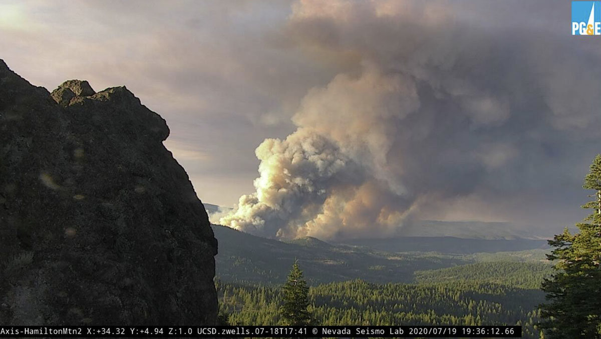
The Hog Fire has prompted mandatory evacuations in northern California west of Susanville. By Sunday night it had burned 5,800 acres of land protected by the Lassen National Forest and the state of California. At 3:30 a.m. July 20 the fire was about one mile west of a housing development on the west side of the William D. McIntosh Highway (A1) and five miles west of Susanville. It has spread approximately 5 miles to the east since it started and is on both sides of Highway 44. Steep terrain and spot fires ahead of the main fire are complicating efforts of firefighters.
Resources assigned Sunday night included 25 fire engines, 8 hand crews, 15 dozers, 15 water tenders, 4 helicopters, and 6 air tankers.
The Facebook page for the Lassen County Sheriff’s office has details on evacuations. Anyone without internet capabilities can get information by calling (530) 282-5714.
An update from CAL FIRE at 9:30 a.m. Monday stated that no structures had been damaged or destroyed.
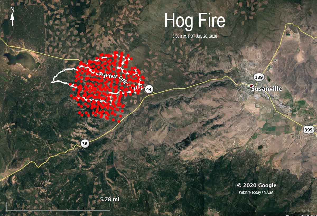
After the mapping flight at 11:54 p.m. July 19 a shift in the wind pushed a portion of the southern perimeter to the south toward Highway 36.

My elderly parents live at Eagle Lake, any ideas of when cell phone service will be restored ? Thank you, Alan