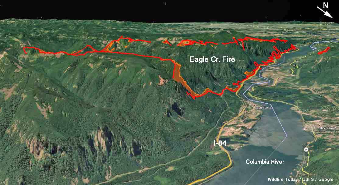
Above: 3-D map of the Eagle Creek Fire looking southeast, showing the perimeter at 7:30 p.m. PDT September 5, 2017.
(Originally published at 12:22 p.m. PDT, September 6, 2017)
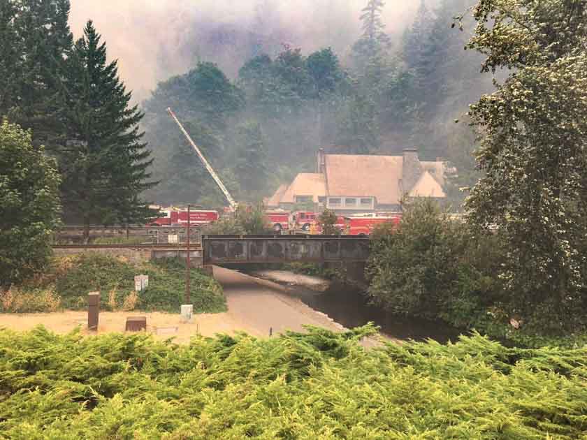
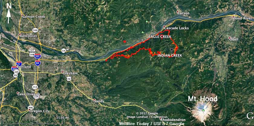
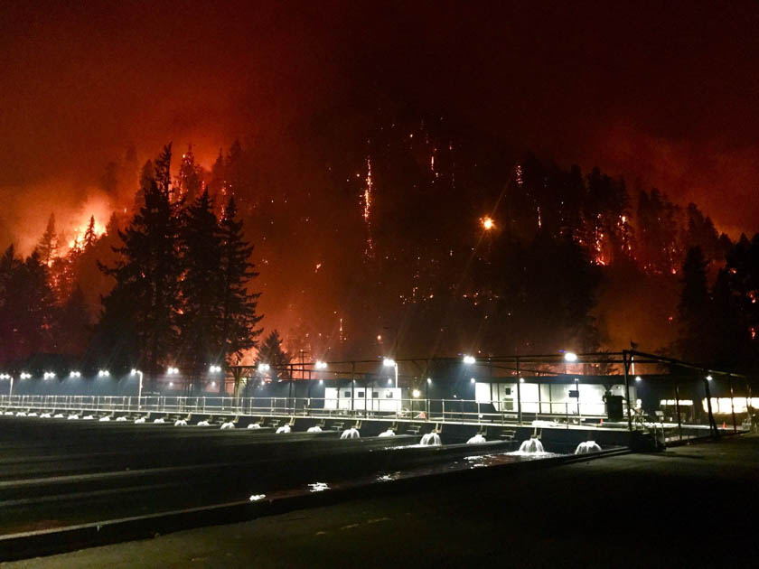
The Eagle Creek Fire that has been burning since September 2 along the Columbia River Gorge just west of Cascade Locks on the Washington/Oregon border has merged with the nearby Indian Creek Fire, which together have blackened 30,929 acres. The blaze is about 10 miles east of the Portland suburbs.
Most of the fire is on the south side of the river in Oregon, but it has jumped across the river into Washington near Archer Mountain.
Six structures have burned and there is a report that at least one of them is a residence, with the others being outbuildings.

Several communities are under evacuation orders and a shelter has been established at Mt. Hood Community College, at 3691 NE 17th Drive, Gresham, OR. For information regarding evacuations in Skamania County, contact the Skamania County Emergency Operations Center at 509-427-8076.
Firefighters will be conducting burnout operations on September 6th from Bridge of the Gods to Bonneville Dam. There will be large plumes of smoke visible during the day.

Willamette Week reported that a Portland resident saw a teenage boy using fireworks that may have started the fire. On September 5 the Oregon State Police announced that a 15-year old boy from Vancouver, Washington is a suspect.
Oregon Live reports that a “GoFundMe campaign to benefit Oregon firefighters has raised $4,725 in 20 hours. The campaign, created by PNW Outdoor Women, will send money to the Oregon Volunteer Firefighters Association, a GoFundMe “certified charity” that represents emergency medical technicians and firefighters in Oregon and offers a relief fund, educational grants, training and equipment grants to its members.”


