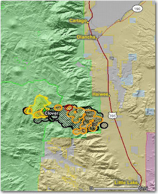
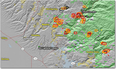
Issued June 21. Better late than never.
=====
Subject: Low live and dead fuel moistures, along with persistent drought, have created the potential for active to extreme fire behavior in many low to mid-elevation parts of the state.
Discussion: With the exception of the northwest corner of the state, most of California is experiencing drought conditions. Effects of lower than normal live and dead fuel moistures and localized sudden oak death are the focus of this advisory.
Concerns to Firefighters:
• Energy Release Components (ERC) at numerous weather stations in the affected Predictive Service Areas (PSA) are setting record highs; this is an indication of very dry fuels. Expect increased fire intensity and spread rates in these areas. Already this year several burnover situations have occurred. The fuels in these PSA’s are primarily grass and brush. A common denominator of fire behavior on tragedy and near-miss fires: Flare-ups generally occur in deceptively light fuels, such as grass and light brush.
• The combination of persistent drought in the South and record setting low March-May precipitation totals in the North has led to low live and dead fuel moistures. Expect fires to ignite easier and spread faster. During mobile attack in light fuels engine crews have found that it takes more time using additional water to knock down fire under these current conditions.
• Both live and dead fuel moistures are 3-6 weeks ahead of last year’s drying rates. Low 1000 hour fuel moistures have been evidenced by complete consumption on recent fires. Anticipate increased spread rates, spotting, and active nighttime burning. Link to extreme fire behavior video on the Indians fire in the Central Coast Mountains:
http://gacc.nifc.gov/oncc/predictive/fuels_fire-danger/LP_FIRE_BEHAVIOR_08.wmv
• Localized sudden oak death (SOD) has affected a number of oak species in southern California.
Fire behavior in areas affected with SOD is often more intense due to increased fuel loadings.
Mitigation Measures:
• Local and inbound fire personnel need to develop situational awareness of the conditions represented in this advisory. Details on site specific conditions regarding ERC’s, live and dead fuel moistures, and/or disease should be covered during briefings.
• Ensure firefighters have good anchor points, escape routes, and safety zones. Remember LCES.
• Consult the latest Fire Weather Forecasts, Monthly Fire Weather / Fire Danger Outlooks, Pocket Cards, and the recently updated California Fire Season Assessment (July-October) posted at:
http://gacc.nifc.gov/oncc/predictive/index.htm
http://gacc.nifc.gov/oscc/predictive/index.htm
Area of Concern: The area of concern covers the following 6 PSA’s in California: Bay Area, Central Coast Mountains and Valleys, Mid Coast to Mendocino, Sierra Foothills, Sacramento Valley Foothills and the portion of the Northern Sierras below 3,000 feet elevation. A map showing the areas of concern described in this advisory can be found at:
http://www.nifc.gov/nicc/predictive/fuels_fire-danger/fuels_advisories.htm
Issued: June 21, 2008 Valid Until Further Notice
=========
HERE is a link to the document that includes a map.
(From FireNet)


