(UPDATED at 12:37 p.m. MDT September 5, 2019)
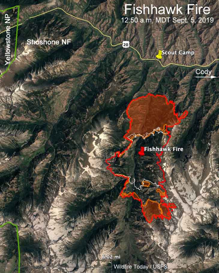
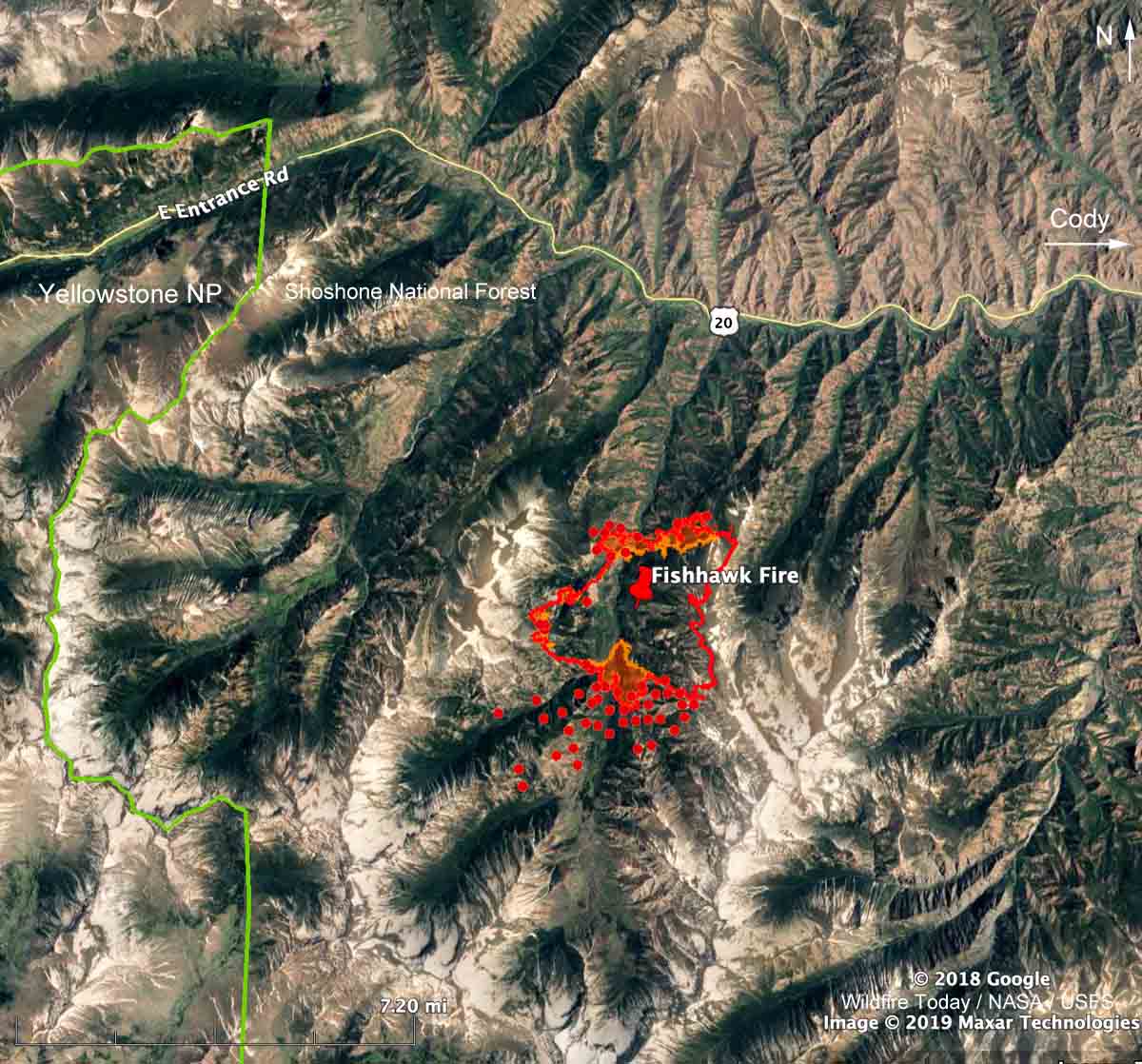
Strong winds gusting up to 33 mph along with low humidities caused the Fishhawk Fire to more than double in size Wednesday to 10,321 acres. It spread two miles to the north and the same distance to the south. The spread to the west and east is slowed by steep ridges going up to 9,000 to 11,000 feet. However the overnight mapping shows the northeast section of the fire crossed the ridge at the 9,800-foot level, establishing fire in the adjacent drainage to the east.
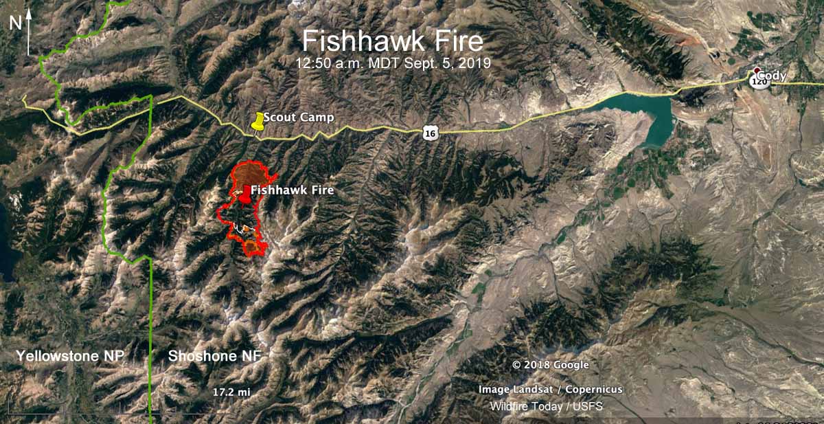
During the 12:50 a.m. MDT mapping flight on Thursday the Fishhawk Fire was 1.5 to 2 miles from Highway 14/16/20 and the Camp Buffalo Bill Scout Camp. It is 38 miles west of Cody, Wyoming and about 6 miles east of the east entrance to Yellowstone National Park. (see the map above)
(To see all articles on Wildfire Today about the Fishhawk Fire, including the most recent, click here.)
Wednesday night the Park County Sheriff’s Office issued a mandatory evacuation notice for the Scout Camp as well as the cabins in the Kitty Creek drainage.
The evacuation notice said, “…the fire has breached a line of protection that indicates a full evacuation is necessary.”

The Rocky Mountain Type 2 Blue Team assumed command of the fire at 6:00 am. Thursday.
The fire is not being fully suppressed, however the Forest Service will attempt to protect structures and private property.
On Thursday structure protection work continued in the North Fork corridor along Highway 14/16/20. Firefighters have been building fireline around structures in Kitty Creek in addition to implementing structure protection around the nearby lodges. Due to rugged terrain and safety concerns, the southern perimeter of the fire will not be staffed by personnel, but will be monitored by air assets, according to the Incident Management Team.
The day after the fire was detected, Mark Giacoletto, the Shoshone National Forest Fire Management Officer said, “Appropriate actions will be taken when it is needed and where it is safe to do so with the highest probability of success. The amount of standing dead timber and the hazardous terrain in the vicinity of the fire makes it unsafe to put firefighters near the current location of the fire.”
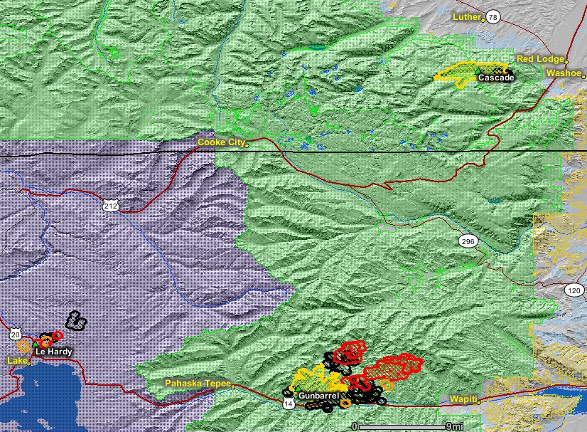
While the 2008 Gunbarrel Fire north of Highway 14/16/20 burned at least 67,000 acres, there have been relatively few fires in recorded history south of the highway. Much of the vegetation in the area has not burned in more than 80 years.


