Above: A Google Earth 3-D map of the Portuguese Island of Madeira, looking northwest.
(UPDATED at 7:25 a.m. MDT August 13, 2016)
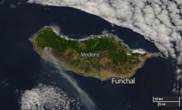
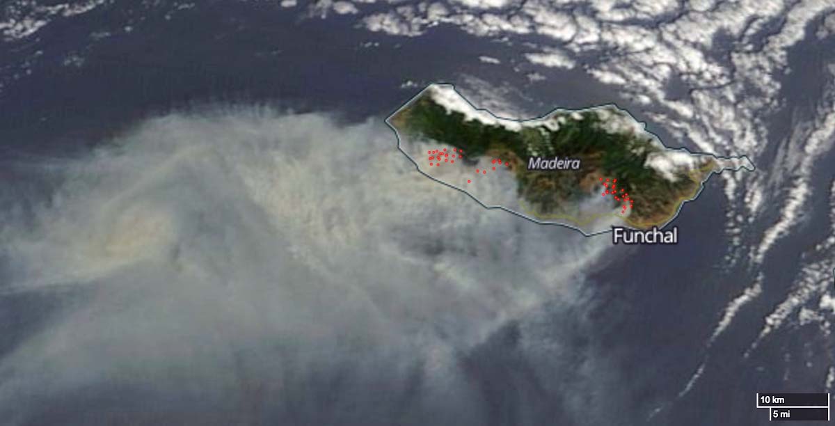
The satellite image below from Friday August 12, shows fewer heat sources on Madeira and less smoke from the wildfires.

****
(Originally published at 4:42 MDT August 2, 2016)
Wildfires on the Portuguese archipelago of Madeira have taken the lives of three civilians and destroyed over 150 homes while firefighters on the mainland are battling nearly 200 blazes. The fire has reached Madeira’s largest city, Funchal, which has a population of 110,000.
Madeira has no firefighting aircraft. They sometimes borrow CL-215’s, CL-415’s, (both are water-scooping air tankers) and Polish SOKOL helicopters from the Canary Islands 280 miles to the south.
Italy and Morocco have sent a total of three firefighting aircraft across the ocean to help control the fires. Russia has dispatched two Be-200 water-scooping air tankers, which last operated in Portugal in 2006.

Madeira is in the north Atlantic, 530 miles southwest of Portugal. The terrain on the popular tourist island is very steep which no doubt presents a challenging environment for firefighters.
Below is an excerpt from an article in the New York Times:
…The fire caused chaos, panic and despair around Funchal. Portuguese television showed elderly people, many of them barefoot or in wheelchairs, being escorted to safety in the middle of the night by emergency services or neighbors. Residents watched in tears as their homes burned down, and some were seen running around helplessly, trying to cover their faces to minimize smoke inhalation…
The four images in the tweet below are very impressive.
El incendio de #Madeira #Portugal, en cuatro imágenes del día, vía @el_pais #madeirafire #fotoperiodismo pic.twitter.com/EEqjaozaxH
— Miguel García (@miguelgar5) August 10, 2016
This video, uploaded today, was shot from a cable car as it travelled over areas affected by the fire. It’s a little long at 18 minutes, but if you skip around it gives an overview of some of the effects of the fire.
Madiera before after: https://t.co/bF6pOGQJb8 #madeirafire #GIS #Landsat #Portugal #POR pic.twitter.com/NI9FRUtwP2
— Justin Elliot Meyers (@MapMakinMeyers) August 12, 2016
This is a photo my sister took 2h ago. #Arouca pic.twitter.com/IjbHdnHPnD
— (¬‿¬)/(‿‿) Ass Stare (@BangAQUA) August 11, 2016
#madeirafire pic.twitter.com/kdVyf86MDC
— Thea (@mx_thea) August 12, 2016

