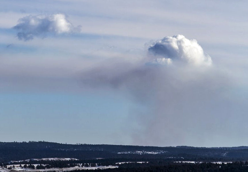
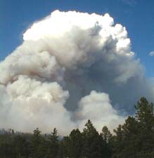
Above: CNN Meteorologist Chad Myers explains pyrocumulus clouds. This is a screenshot from Mr. Myers’ 52-second video. The Weather Channel has a similar explanatory video.
Cumulus clouds are puffy clouds, usually having a somewhat flat base but with some vertical development that gives them rounded towers on top. They can form when the sun heats the earth, which then heats the air above it causing the warmer air to rise. Rising air cools and the relative humidity increases. If it reaches 100 percent, water vapor condenses forming a visible cloud.
Above: time-lapse video of pyrocumulus over the King Fire in California.
Clouds can also form over vegetation fires. In some cases a very intense fire can produce enough heat that the air rises very quickly. If it is not dispersed laterally by wind it can rise high enough that a cloud forms. This can look like a cumulus cloud, but when they form over a fire they are called pyrocumulus clouds.
Occasionally these clouds will produce rain or even lightning. Water requires a non-gaseous surface to make the transition from a vapor to a liquid. Smoke helps out by contributing very small particles that are used as condensation nuclei on which water droplets form, to create clouds or rain.
If pyrocumulus clouds grow large they resemble cumulonimbus, thunderstorm clouds. What goes up must come down, and if not disturbed by a strong wind during the dissipating stage the updrafts can reverse and become downdrafts. This is sometimes called a “collapsing column”. When that descending air hits the ground it spreads out, sometimes in all directions, and can quickly and drastically change the wind direction at a given point on a fire. This can be fatal if firefighters find themselves in the wrong location at the wrong time.
I had always assumed that much of the moisture that formed a pyrocumulus came from a byproduct of combustion — water vapor — something that many burning fuels create. (Some TV meteorologists also make the assumption about the sources of the moisture.) A great deal of water vapor is produced when vegetation burns, and the higher the fuel moisture the more water vapor is created.
But I wanted to confirm that assumption before I wrote this article, and it turns out I was wrong. I found two research papers that were devoted to the subject and they were mostly in agreement. As the byproducts of combustion rise above a fire the water vapor is rapidly diluted before it reaches the condensation level, or what becomes the base of the pyrocumulus. One group of researchers in Germany calculated that 10% of the moisture in a pyrocumulus comes from the fire.
Others with the Bushfire & Natural Hazards CRC in Melbourne, Victoria, Australia determined that the contribution of water vapor from the fire is negligible since it is diluted before it reaches the height of the cloud:
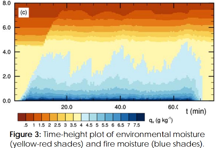
Fire plumes entrain large amounts of environmental air as they ascend, which greatly dilutes the plume gases, including the fire moisture. Figure 3 shows the fire moisture dilution for the moist fire simulation(right panels of Fig. 2). The lightening shades of blue with height demonstrate the fire moisture dilution. When the plume reaches the condensation level (4.5 km) there is barely any fire moisture evident to contribute to cloud development. The dilution rate may be sensitive to fire size and intensity.

Continue reading “Where does the moisture in a pyrocumulus cloud come from?”


