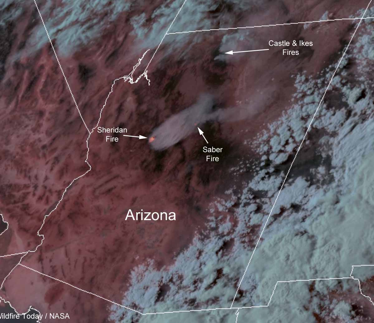
Three wildfires in Central Arizona have burned a total of more than 14,000 acres. All of the fires are being managed, rather than suppressed, in order to enhance the natural resources.
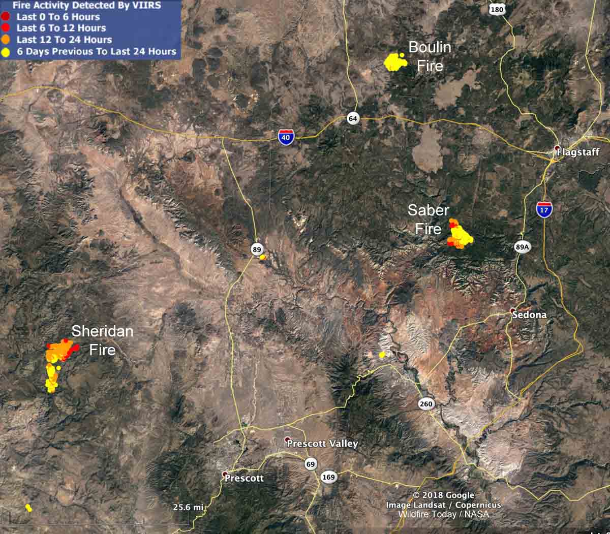
The Sheridan Fire 26 miles northwest of Prescott is by far the most active of the three, more than tripling in size over the last two days. (See map below) The fire behavior is described as extreme, with running, wind-driven runs, and short-range spotting. A mapping flight early Thursday morning found that the lightning-caused fire had burned 8,594 acres. About 75 percent of the fire is being monitored while 25 percent is under a point protection strategy, suppressing or retarding the spread in order to protect specific sites.
The Saber fire, also started by lightning, has burned 2,093 acres 16 miles southwest of Flagstaff. Very little current information is available about this incident.
The 3,900-acre Boulin Fire 24 miles northwest of Flagstaff has calmed down considerably after putting up a large column of smoke on August 20.

