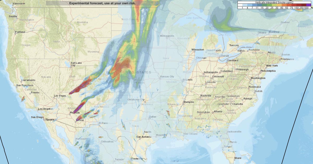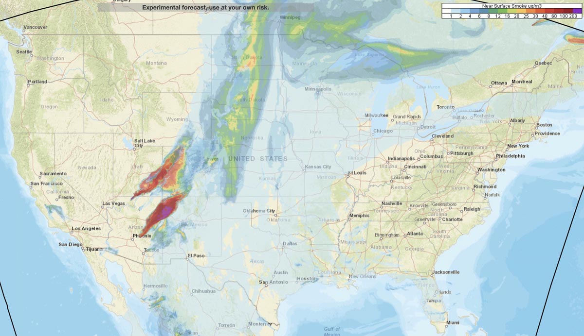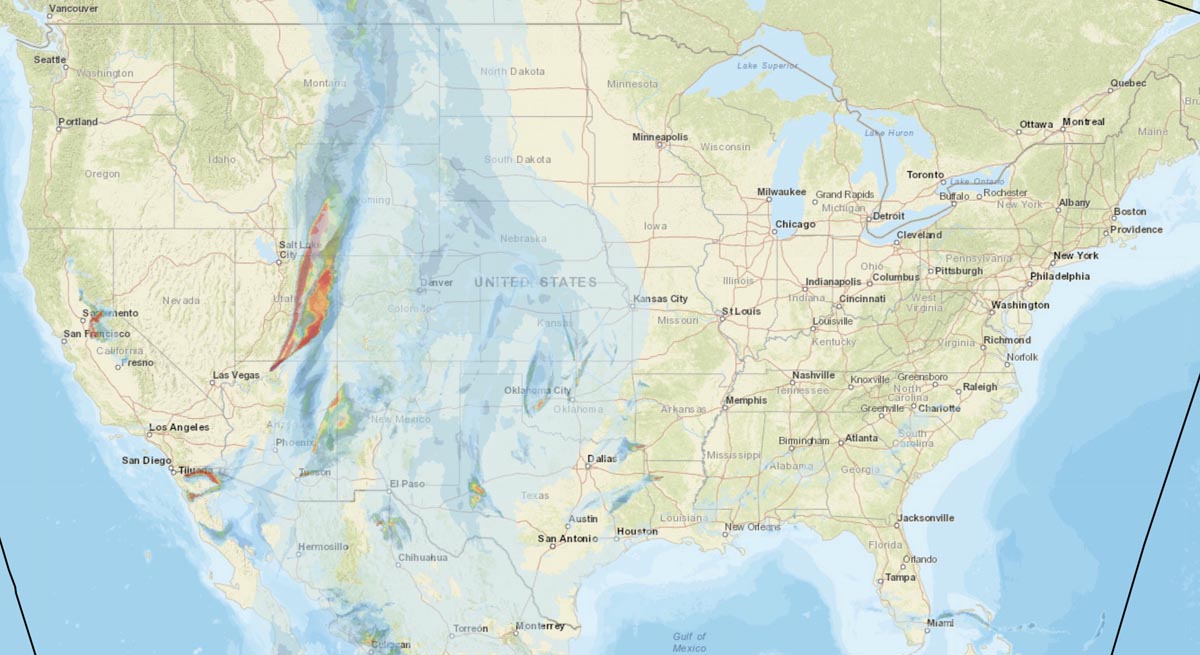
This is the forecast for the distribution of vertically integrated and near surface smoke at 7 p.m. MDT June 17, 2020. By NOAA.
The locations especially hard hit are areas in Arizona, Utah, Colorado, New Mexico, Kansas, and Nebraska.
News and opinion about wildland fire

This is the forecast for the distribution of vertically integrated and near surface smoke at 7 p.m. MDT June 17, 2020. By NOAA.
The locations especially hard hit are areas in Arizona, Utah, Colorado, New Mexico, Kansas, and Nebraska.

Smoke created by wildfires in Arizona, especially the Bush and Mangum Fires, is very noticeable in parts of Utah, New Mexico, and Colorado. NOAA’s map above of near surface and vertically integrated smoke, shows the forecast for 11 p.m. MDT June 16, 2020.

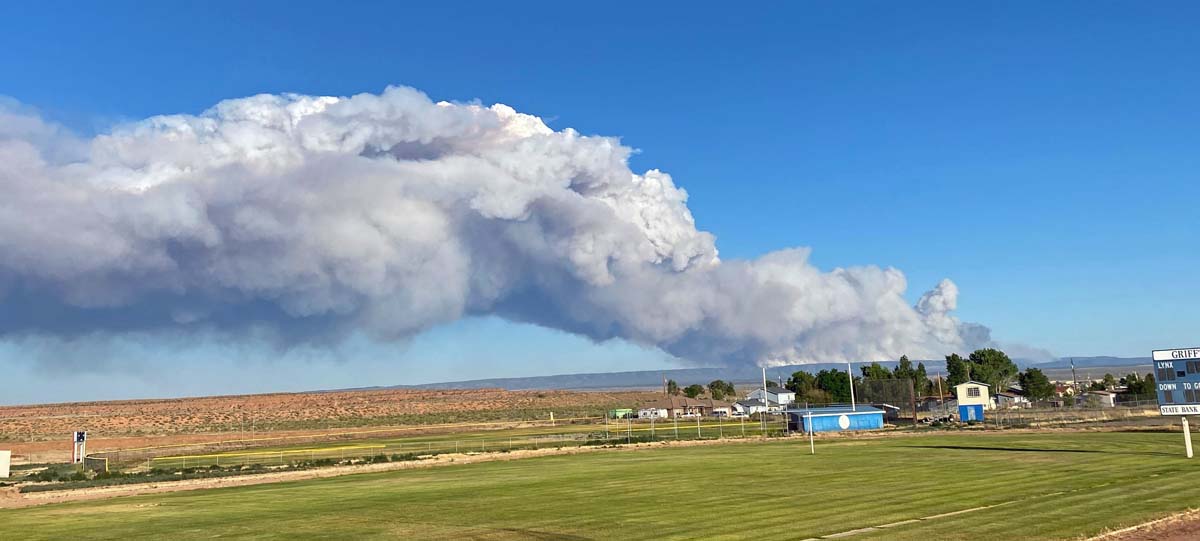
Smoke from wildfires near Tucson and north of the Grand Canyon is being pushed by strong winds into states to the north and northeast. Most heavily affected are residents in Utah, Colorado, Wyoming, and New Mexico.
The Mangum Fire near Jacob Lake, Arizona ran for 8 miles Friday and is very active again today.

Areas in California, Nevada, Arizona, and New Mexico are heavily affected