News and opinion about wildland fire
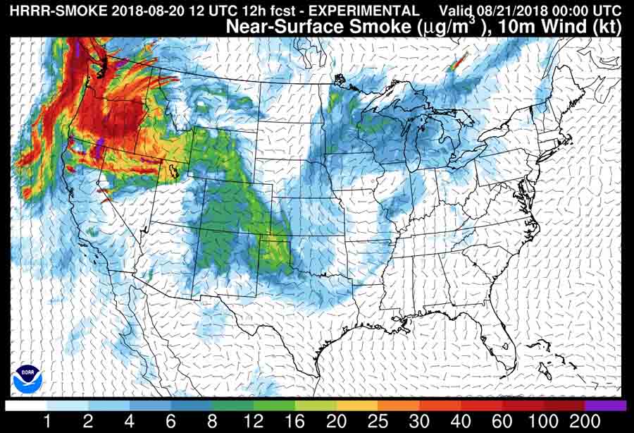
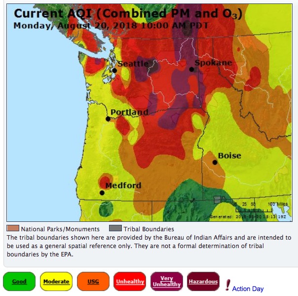
The map above shows the prediction for the distribution of wildfire smoke at 6 p.m. MDT August 14, 2018. It looks like it is going to be pretty rough today in Washington, Oregon, Idaho, Montana, Wyoming, and parts of Northern California.
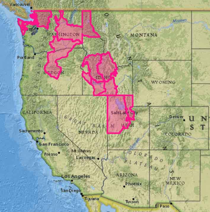
Red Flag Warnings are below.
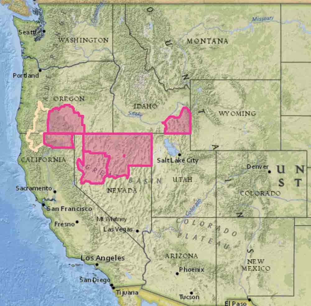
And Red Flag Warnings
This map illustrates the prediction for the distribution of wildfire smoke at 6 p.m. MDT August 6, 2018. It was produced by the Earth System Research Laboratory, a division of NOAA.
It looks like the air will be somewhat less than pristine in areas of California, Oregon, Washington, Nevada, and Utah.
Above is the forecast for the distribution of smoke from wildfires at 6 p.m. MDT August 5, 2018. It looks like the air will be pretty nasty in areas of California, Oregon, Nevada, Idaho, Utah, Washington, and Wyoming.
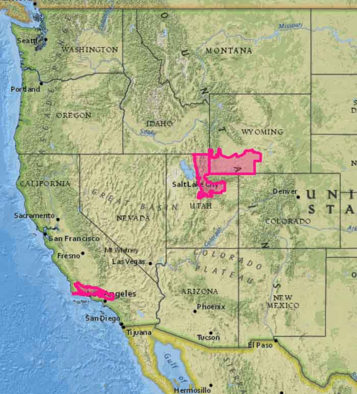
The map below shows the Red Flag Warnings in effect for Sunday, August 5 in portions of California, Utah, and Wyoming.
