Above is the forecast for the distribution of smoke from wildfires at 6 p.m. MDT August 5, 2018. It looks like the air will be pretty nasty in areas of California, Oregon, Nevada, Idaho, Utah, Washington, and Wyoming.
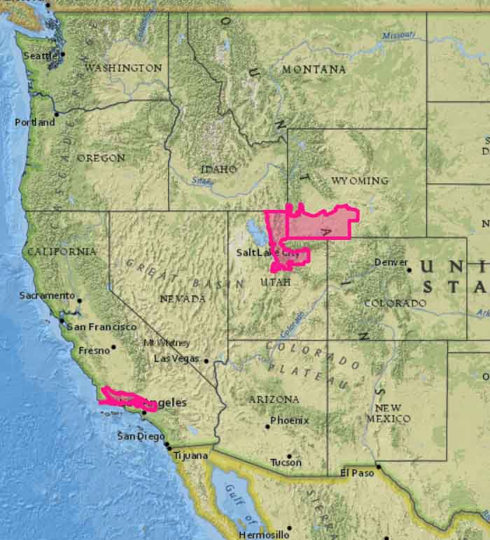
The map below shows the Red Flag Warnings in effect for Sunday, August 5 in portions of California, Utah, and Wyoming.


Very illustrative maps. It would be nice to see ,if possible ,a Smoke Map every 2 days .
Thank you for posting these smoke maps. They are an invaluable resource!