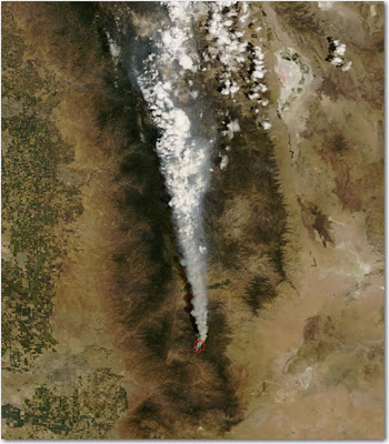
Here is a satellite photo of the Piute on the Sequoia National Forest fire taken about 2 p.m. PT Monday. The red area at the base of the smoke plume is heat detected by the satellite. Click on the photo to see a larger version.
HERE is a link to a satellite photo that shows most of California. It’s a large file.
