UPDATE at 5:51 p.m. MDT, May 24, 2012: The Incident Management Team has mapped the now-merged fire at 70,579 acres. They have posted a map HERE.
==========================
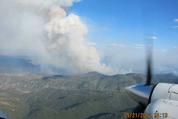
Two large wildfires have burned together in southwest New Mexico. Strong winds on Wednesday caused extreme fire behavior and rapid fire spread on the Whitewater and Baldy fires. A weather station 5 miles northwest of the fire recorded west winds of 15 to 21 mph with gusts up to 39 late in the day on Wednesday. Firefighters had to disengage from their assignment at the Willow Creek summer home area because of the extreme conditions and long-range spotting. The fire has come out of the Gila Wilderness and on to the Gila National Forest in the Willow Creek Subdivision and crossed State Road 159 at the Silver Creek Divide and is working its way into Mineral Creek.
HERE is a link to a more detailed map of the Whitewater-Baldy fire than the one shown above.

The weather forecast for Thursday will not provide much relief. It includes a Red Flag Warning with southwest winds of 22-24 mph with gusts up to 36 mph, and a relative humidity in the low teens.
Earlier on Wednesday the sizes of the Whitewater and Baldy fires were reported to be 10,100 and 15,000 acres, respectively. The agencies have not said what the new combined acreage is after the merger of the two fires, but we did some very rough calculations using Google Earth, and it appears to be at least 40,000 to 60,000 acres.
A Type 1 Incident Management Team led by Incident Commander Tony Sciacca has been ordered. The new name of the fire is Whitewater-Baldy Complex.
UPDATED information about the Whitewater-Baldy fire, May 26, 2012.
