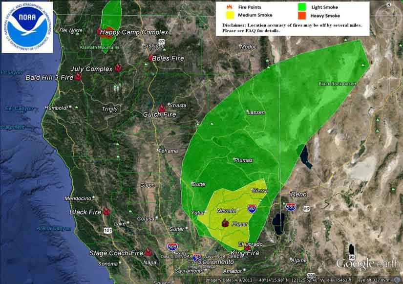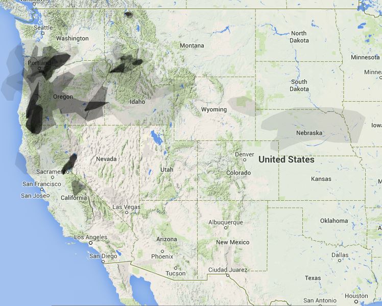
Here are two maps showing the distribution of smoke from wildfires. The one above of northern California is from NOAA, and I believe it is a forecast, looking ahead several hours and takes into account the major expansion of the King Fire east of Placerville Monday afternoon, which is the larger plume.
The map below is from Weatherunderground, showing the western United States.


https://truckeetahoeairport.com/webcam