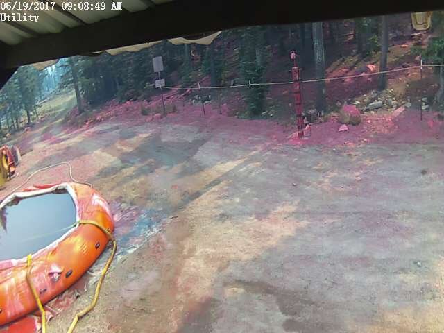
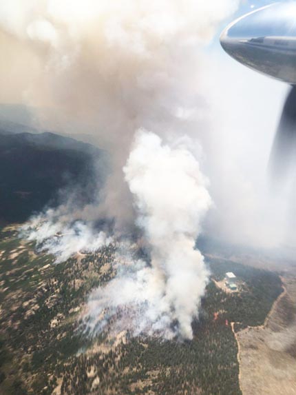
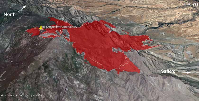
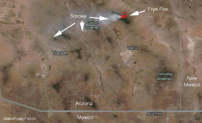
Above: Thanks to efforts by firefighters on the ground and in the air the Frye Fire burned around the Mt. Graham Observatory on June 18, 2017.
(Published at 10:37 a.m. MDT June 19, 2017)
The Frye Fire 8 miles southwest of Safford, Arizona burned up to and around the International Observatory on Mt. Graham Sunday. The site is the home of several very important telescopes, including the Vatican Advanced Technology Telescope, the Large Binocular Telescope, & the Submillimeter Telescope.
Saturday afternoon as the fire approached the facility the Incident Management Team ordered 7 large (heavy) air tankers and one very large air tanker. Those firefighters in the air combined with others on the ground prevented any serious destruction of the instruments.

Gila Valley Central reported that Eric Buckley, the Director at the Observatory, said, “The fire has come very close. It did come very close to the complex. We may have suffered a little heat damage but no actual fire damage.”

As of 11 p.m. MDT on Sunday the fire had burned almost 10,900 acres, an increase of about 2,000 acres from the day before.

Monday morning the Type 3 Incident Management Team turned the fire over to Alan Sinclair’s Southwest Area Type 2 Team.
The fire is not being fully suppressed, but firefighters are taking action to prevent damage to private land and structures.
The rest of this week the temperature at the lower elevations in the fire area will be over 110 degrees and the relative humidity will be below 10 percent. Monday will be somewhat breezy, but the wind is predicted to exceed 15 mph on Thursday and Friday.


