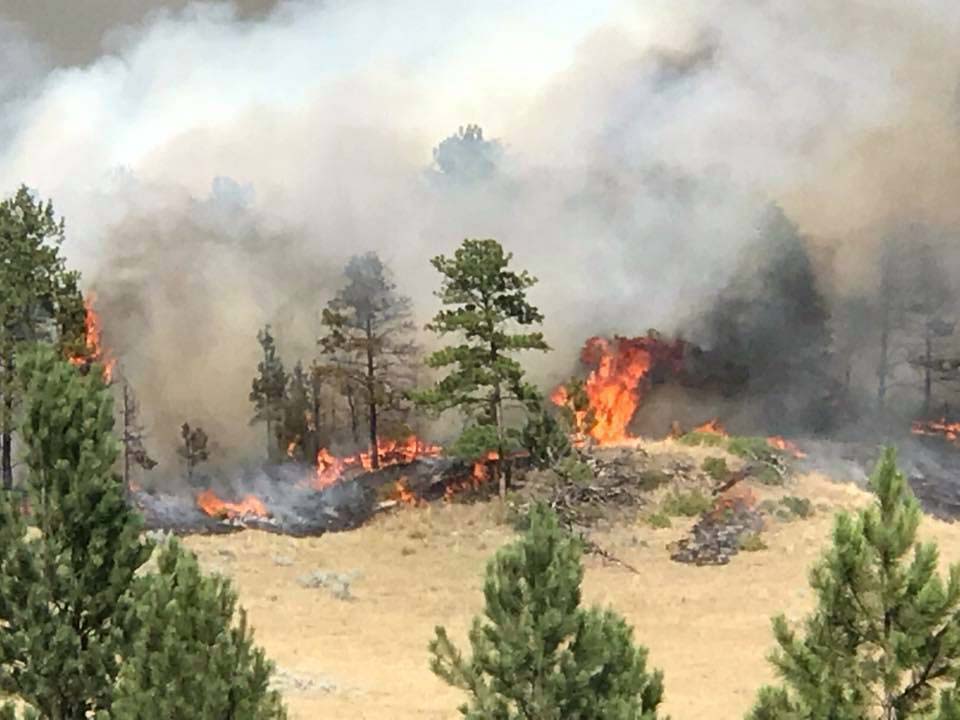
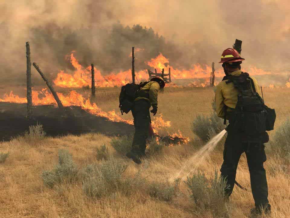
Above: Smoke produced by the Lodgepole Complex of fires in Eastern Montana, July 21, 2017. Click here to see a 5-second animation of the movement of the smoke.
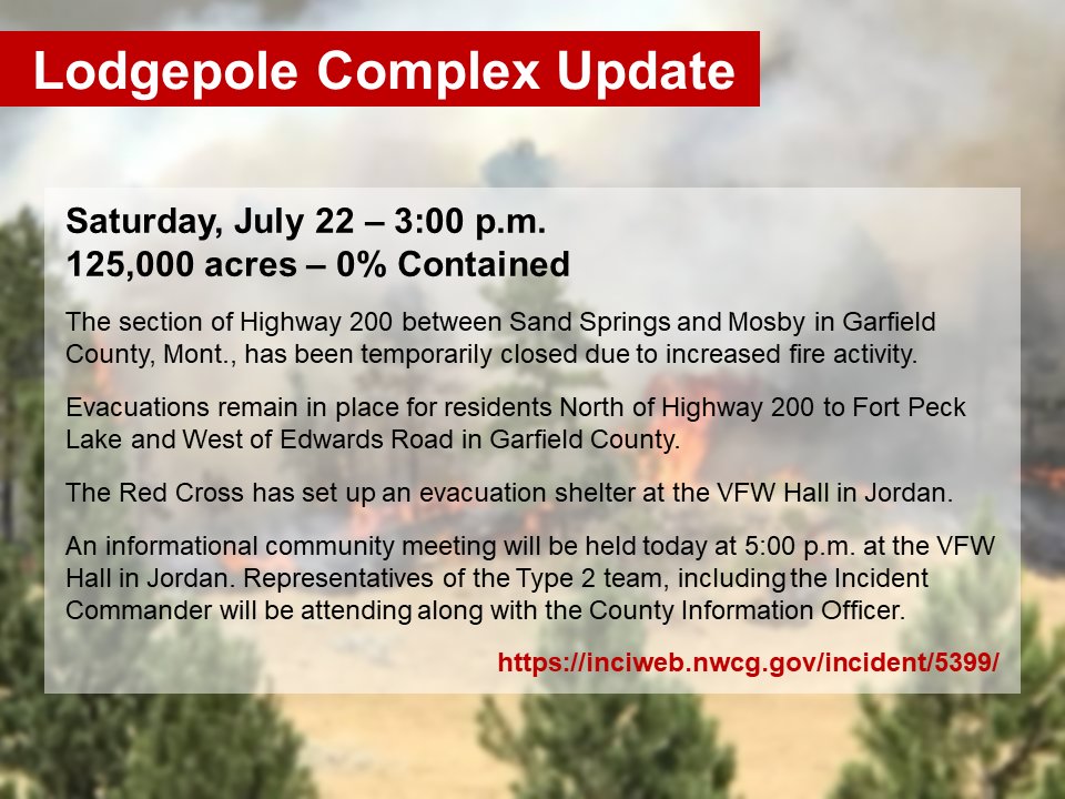
(UPDATED at 5:12 p.m. MDT July 22, 2017)
****
(Originally published at 8:58 a.m. MDT July 22, 2017)
The Lodgepole Complex of wildfires in Eastern Montana produced copious quantities of smoke Friday that when mixed with smoke from fires farther west put a haze over areas in Montana, Wyoming, South Dakota, and North Dakota.
(All articles on Wildfire Today about the Lodgepole Fire in Montana are tagged, and can be found at https://wildfiretoday.com/tag/lodgepole-complex/, with the most recent articles at the top.)
The Complex is comprised of four fires in Eastern Montana, according to Inciweb:
- The Bridge Coulee Fire was discovered Wednesday afternoon, 16 miles north of Mosby, Mont. The fire is estimated at 50,000 acres as of Friday afternoon. This fire has crossed the Musselshell River into Petroleum County.
- The Barker Fire, 20 miles north of Sand Springs, Mont. is estimated at 12,000 acres as of Friday afternoon.
- The South Breaks Fire is estimated at 7,000 acres 27 miles northeast of Mosby, Mont.
- The Square Butte Fire 19 miles north of Sand Springs, Mont., is 808 acres.
Combined, the fires have burned almost 70,000 acres.
Evacuations are taking place.
The Western Montana Type 2 Incident Management Team will be assuming command of the fires.


