Above: The Lodgepole Complex of fires. Uncredited photo posted to Inciweb July 23, 2017.
(Originally published at 9:20 a.m. MDT July 26, 2017)
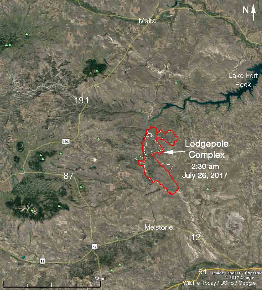
Firefighters continue to make progress on the Lodgepole Complex of fires in Eastern Montana south of Lake Fort Peck. More accurate mapping shows that the fire has burned a total of 270,000 acres on the four fires, Bridge Coulee, Barker, South Breaks, and Square Butte.
Early Wednesday morning the only large concentrations of intense heat detected by an aircraft were on the north side adjacent to Lake Fort Peck, but a lot of the fire perimeter still does not have completed fireline.

Firefighters have been conducting burnout operations to secure the lines and in some locations have increased the depth along the containment lines by one quarter mile.
The weather on Wednesday is predicted to be warmer and drier with gusty winds out of the south.
(All articles on Wildfire Today about the Lodgepole Fire in Montana are tagged, and can be found at https://wildfiretoday.com/tag/lodgepole-complex/, with the most recent articles at the top.)


Interesting bit of News for ranchers here
http://www.theepochtimes.com/n3/2274599-stranger-brings-supplies-to-farmers-hit-by-montana-wildfire-his-actions-snowball-into-massive-donation-drive/