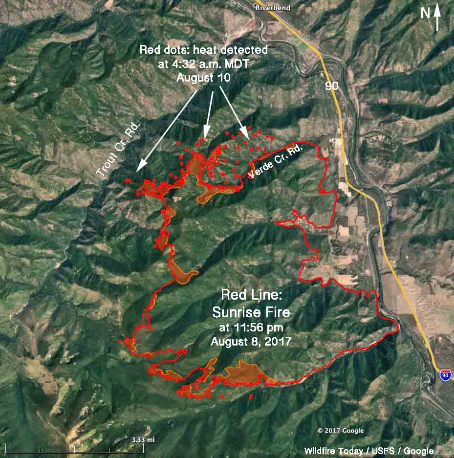
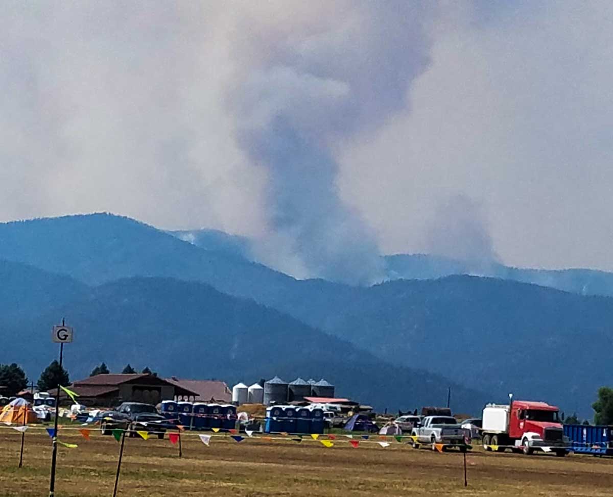
Above: 3-D map of the Sunrise Fire 6 miles south of Superior, Montana. The red line was the perimeter at 11:56 pm. MDT August 8. The red dots represent heat detected by a satellite at 4:32 a.m. MDT August 10.
(Originally published at 12:02 p.m. MDT August 10, 2017.)
Cougar Gulch has been added to the list of areas under evacuation orders on the Sunrise Fire which has been burning since July 16 six miles south of Superior Montana. Quartz Creek and Verde Creek were previously evacuated.
Tuesday night the fire was mapped at 15,203 acres, but has added approximately 1,000 acres since then primarily on the north and northwest sides, and a small amount on the south side. It has grown to within less than a mile of Trout Creek Road on the west side.

The Lolo National Forest is not completely suppressing the fire. Instead, they are stopping portions of it when they think it becomes necessary to protect private property. Thursday morning they released a statement that read in part:
Over the next few days the team will work to slow the growth of the fire to allow for more effective and safe engagement by strategically introducing fire to unburned areas; lessening the likelihood for high-intensity and fast moving fire.
On Wednesday burnout operations continued in the Quartz Creek and Verde Creek areas with hand and aerial ignition. The northern edge of the fire now extends into the head of Cougar Gulch.
Thursday’s plans are to continue burnout operations on the north side of Quartz Creek drainage to reduce fuel loading around structures. Firing will continue in Verde Creek.


