(UPDATED at 9:37 a.m. MDT July 21, 2019)

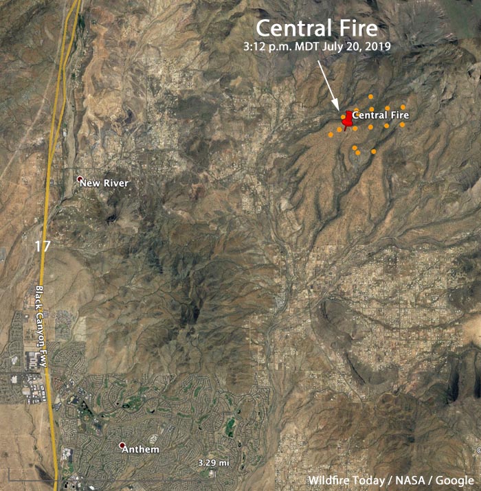
Officials said Saturday evening that the Central Fire just east of New River, Arizona had burned 503 acres (see the map below). The National Situation Report issued Sunday morning has it listed at 800 acres. Since Saturday evening very little additional information has been released.
Most of the fire is on land managed by the Tonto National Forest.

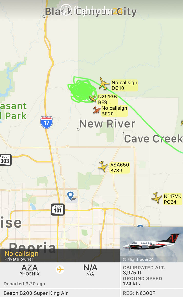
During the first few hours after the fire started Saturday afternoon firefighting resources mobilized included two Very Large Air Tankers (DC-10s), four Large Air Tankers, and three hand crews.
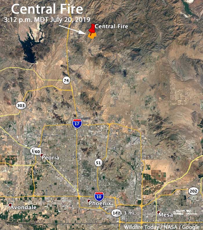
The fire is burning about 35 miles north of Phoenix, 4 miles east of Interstate 17, which remains open.
A satellite overflight at approximately 3 a.m. MDT on Sunday did not detect any large heat sources on the fire. This could mean the fire was not very active at that time, or clouds obscured the view. It does not mean the fire is out. It is likely that the fire is burning in light fuels such as grass and brush that burns quickly without leaving residual heat, making it very difficult for an orbiting satellite 200 miles over the fire to detect heat.
We will update this article after the Tonto National Forest releases information.
(Originally published at 5:46 p.m. MDT July 20, 2019)

(Originally published at 5:47 p.m. MDT July 20, 2019)
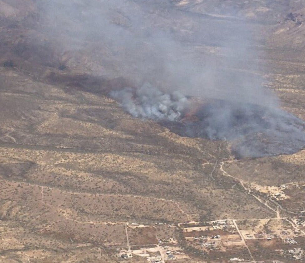
Saturday afternoon a wildfire broke out near New River, Arizona north of Phoenix. Late Saturday afternoon Arizona State Forestry said it had burned 250 acres. (see the map above)
The blaze is 48 miles northwest of the Phoenix-Mesa Gateway airport, which is a fairly quick turnaround for the air tankers working out the airport’s retardant reload base. Other air tankers are coming from Prescott. At 5 p.m. MDT FlightAware showed the following air tankers working on the fire; Tankers 01, 16, 15, 164, and 911 (a very large air tanker, a DC-10), plus an assortment of air attack and lead planes.


Good look on how low planes fly to drop retardant #12News #CentralFire pic.twitter.com/rgVefvSyrw
— Kyle Burton (@_Burty) July 20, 2019
