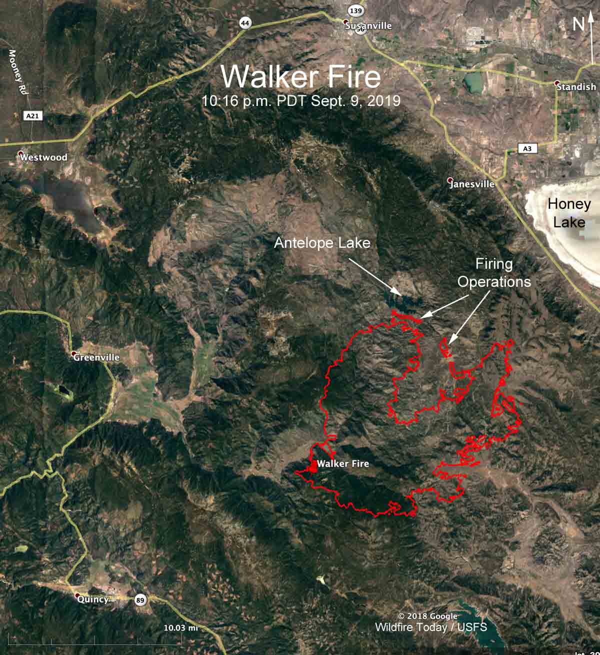
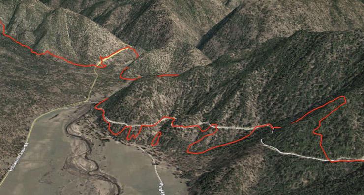
Below is a flyover of the Walker Fire via Google Earth. The red line was the perimeter mapped by a fixed wing aircraft at 10:16 p.m. PDT September 9, 2019. The fire was 17 miles south of Susanville, California and had burned 47,340 acres.
The flyover begins at the southwest corner of the fire near the “Walker Fire” pin on the map below the video.
If you’re having trouble viewing the video, you can also see it at YouTube.

(Click here to see all articles about the Walker Fire on Wildfire Today, including the most recent.)


Thanks, Bill, that will be a big help in understanding what is going on with the fire and the surrounding area(s).
Hi Bill, have to agree with Montana NAR on the map shots, Question, is there anyway to place a compass rose or something like that in order to get an idea of direction for further study of the ground, etc? Thanks again, Bill
Good question, Chris. As it was being recorded there was a dynamic compass rose in the upper-right corner, but somehow in the final formatting it was cropped out. Next time I’ll try something different.
But, generally in this video we’re looking toward the east or northeast.
Thanks, Bill! I love your maps on every fire you cover. They make the terrain so much easier to understand.
You’re welcome