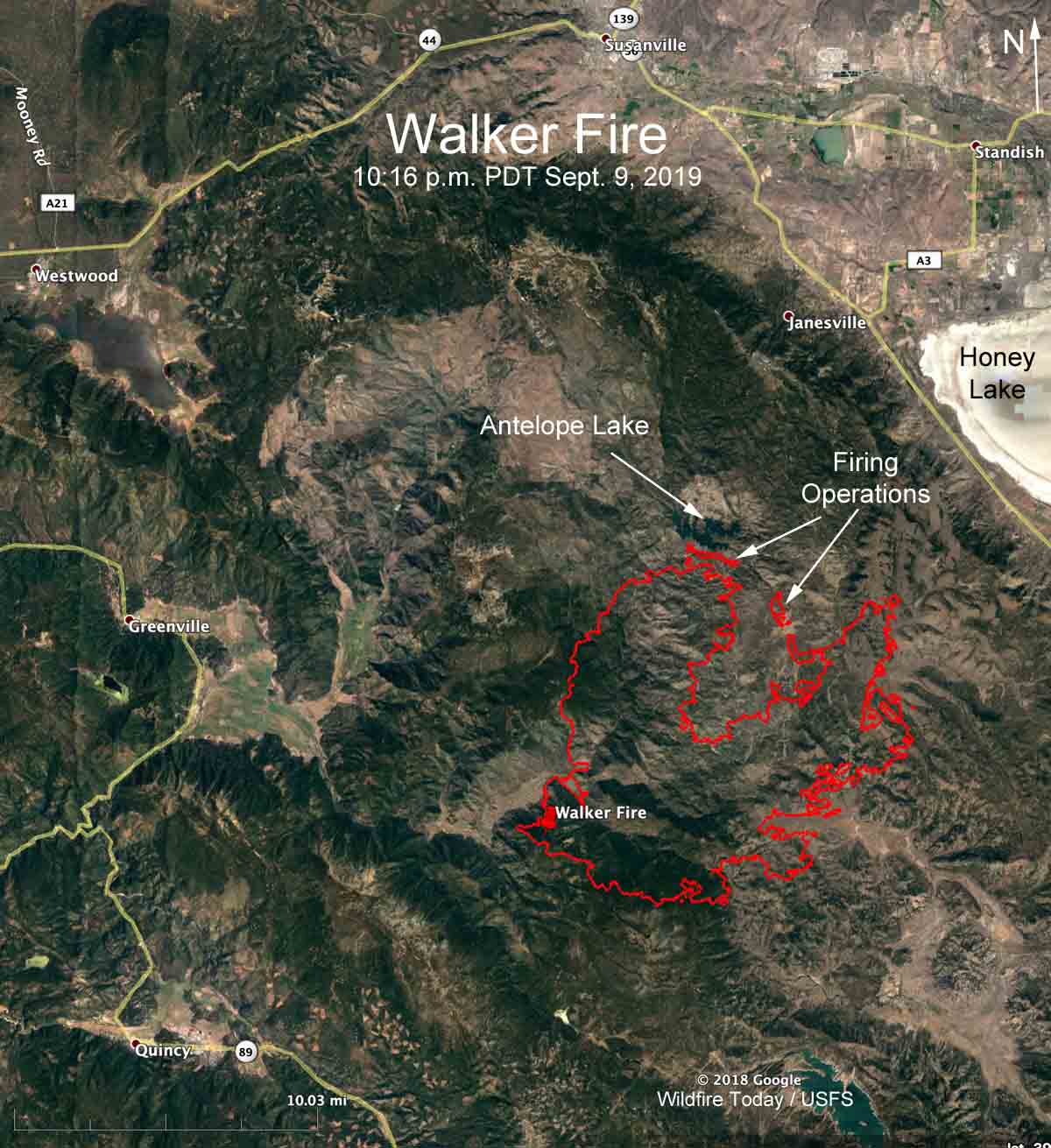
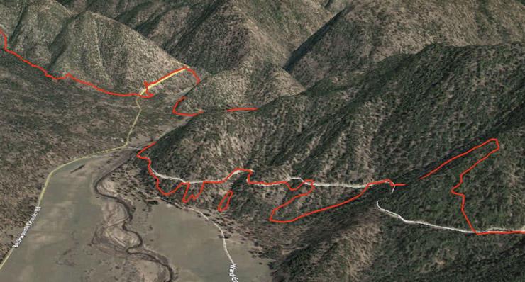
Below is a flyover of the Walker Fire via Google Earth. The red line was the perimeter mapped by a fixed wing aircraft at 10:16 p.m. PDT September 9, 2019. The fire was 17 miles south of Susanville, California and had burned 47,340 acres.
The flyover begins at the southwest corner of the fire near the “Walker Fire” pin on the map below the video.
If you’re having trouble viewing the video, you can also see it at YouTube.

(Click here to see all articles about the Walker Fire on Wildfire Today, including the most recent.)

