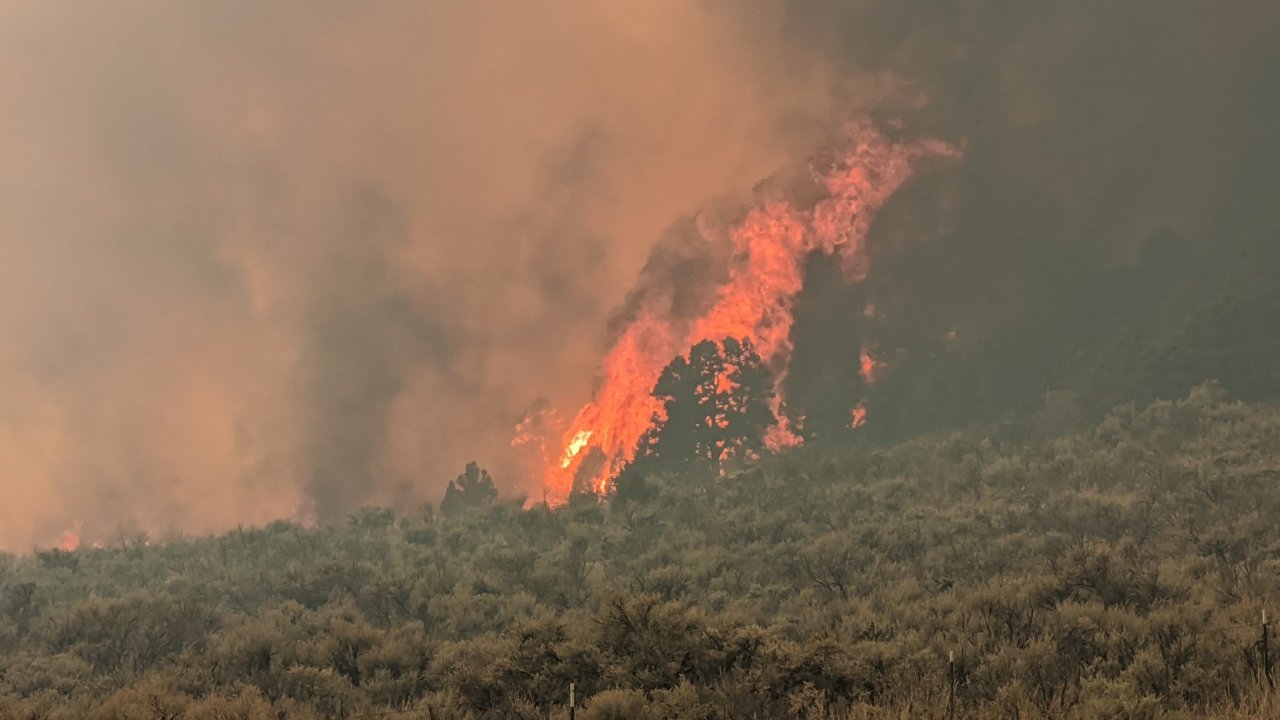
The Lion Fire burned 229 acres near Lions Canyon Road 1.5 miles west of Meeker, Colorado on Tuesday. After being reported at about 1:30 p.m., it was attacked by the Meeker Volunteer Fire Department, BLM, and the Colorado Division of Fire Prevention and Control.
By Tuesday evening firefighters had stopped the spread and were expected to be back on Wednesday to mop up.
Investigators determined that it started near a mobile home which was consumed in the fire. Several outbuildings and vehicles were also destroyed, according to Meeker Fire Chief Luke Pelloni.
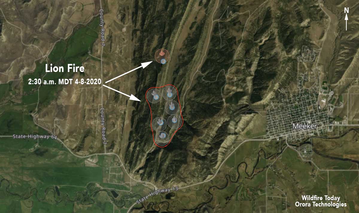
At Wildfire Today we are giving a trial to a new mapping system created by Orora Technologies. It collects fire detection data from a growing list of satellites, eight at last count, and identifies heat generated by fires. On the map below the circles indicate that heat was detected somewhere within the circle. The red line automatically circumscribes a collection of detections, but is probably larger than the actual size of the burned area. In this example the heat was detected by the SUOMI-NPP satellite. We suggested that the size of the red polygon be automatically calculated, and they added it to their things to do list. The company has plans to launch their own satellites which would produce fire data more frequently.


cal/SARtopo has a similar layer to the Orora product, albeit without the fire area calculation. toggle the ‘Fire Activity’ layer in the drop down and it lets you select specific satellites as well as see smoke plumes and it color codes the age of the hotspots to see fire spread. Once there is a perimeter in Inciweb it also show that. I live in Steamboat Springs, CO and yesterday afternoon we got hit by the smoke from this fire. Pulled up caltopo.com and sure enough, there were the hotspots, downwind and detected hours earlier.
https://caltopo.com/map.html#ll=40.05015,-107.94136&z=13&b=hyb&o=mbh%2Cr3&n=0.47,0.19&a=modis_mps