UPDATED at 5:46 a.m. PDT July 26, 2020

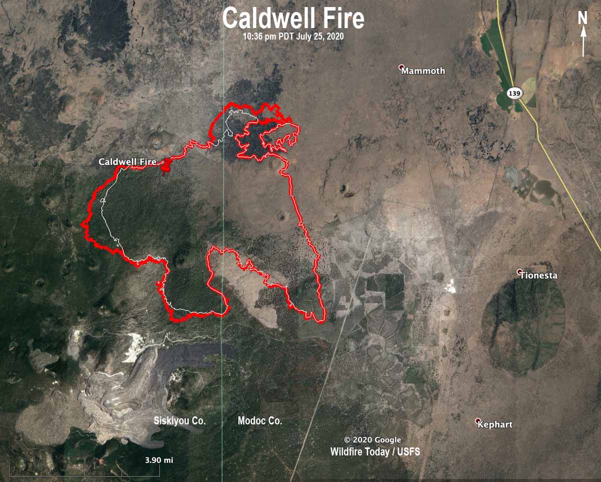
A mapping flight Saturday night showed that most of the growth of the Caldwell Fire Saturday was on the northeast and west sides. It expanded by 1,265 acres to bring the total to 13,125 acres.
The forecast for Sunday is for 91 degrees, 14 percent relative humidity, and 5 to 8 mph west winds in the afternoon along with isolated showers and thunderstorms.
(To see all articles on Wildfire Today about the Caldwell Fire, including the most recent, click here.)
A Red Flag Warning is in effect for the fire area Monday for abundant lightning and dry fuels.
Originally published at 8:47 p.m. PDT July 25, 2020

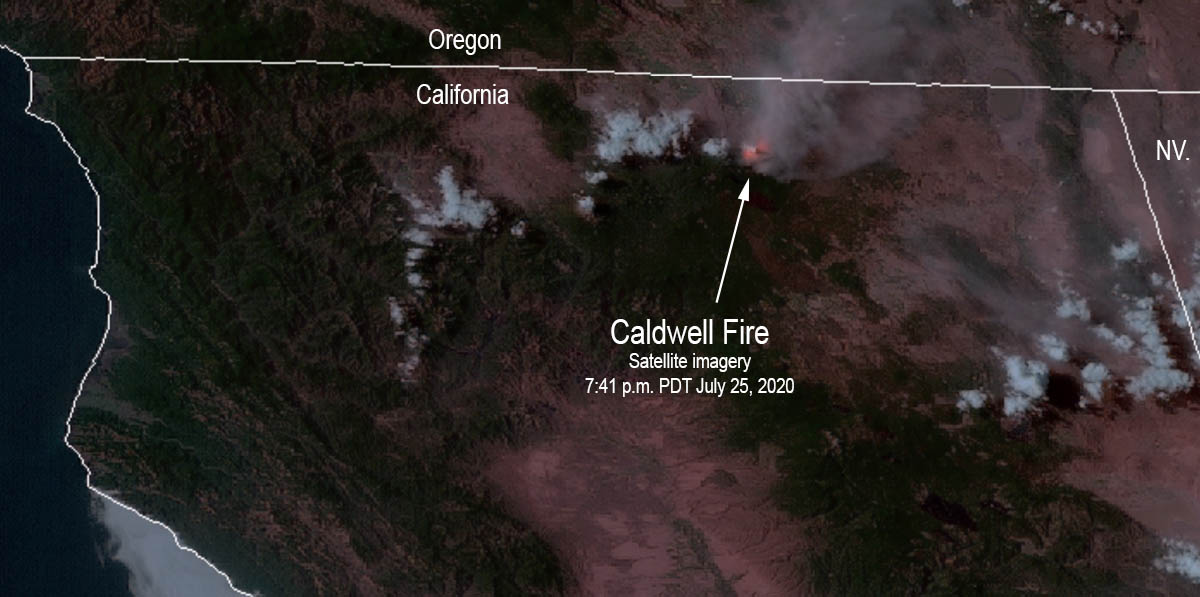
The Caldwell Fire in northeast California has been very active for the last two days, growing to 11,860 acres by Saturday morning and was particularly active on the northeast side Saturday. Firefighters are constructing both direct and indirect control lines to limit fire spread using existing road and trail systems. They will work from the Lava Beds National Monument Visitor Center southwest and from the 10 Road going back west toward the lava fields.
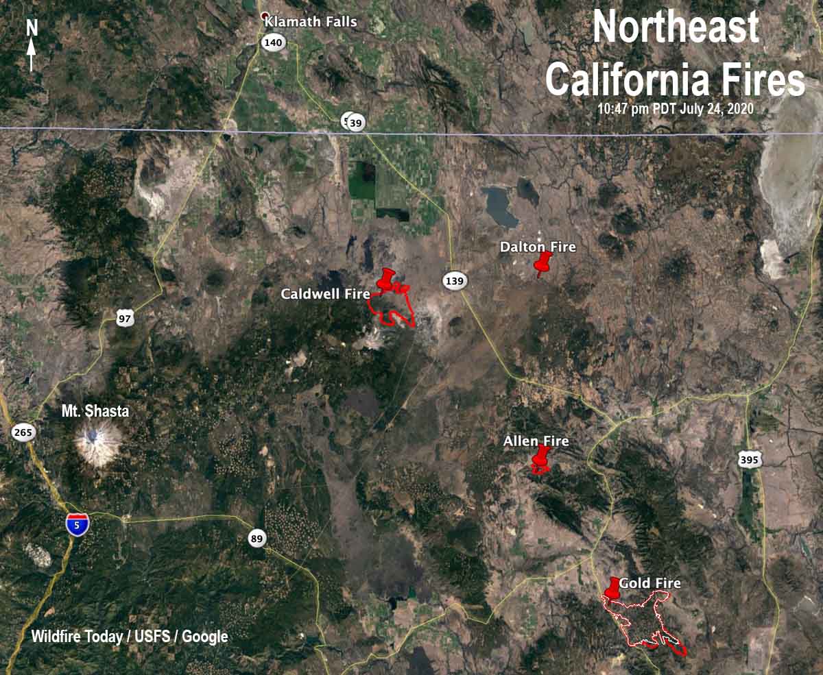
The Caldwell Fire is on the Modoc/Siskiyou county line southeast of Lava Beds National Monument and 37 miles southeast of Klamath Falls, Oregon.
Click here for information about the Gold Fire.


Is McCloud in danger? I have a camping reservation at Fowler Campground tomorrow to Sunday.
wildfireintel.org has pretty good coverage.
Much thanks for reporting on the the Caldwell Fire. I’m having the same issues as Shannon, I’m relying on my neighbors at Medicine Lake to let me know what’s going on with the other smaller fires in the area.
Thank you Bill for your reporting on the N. Cal Fires. We are cabin owners in Medicine lake and trying to find the most up to date information on the Caldwell fire. What resource would you recommend? CA Fires does not seem to be tracking the Caldwell fire. Thank you for your help.
Hi Shannon,
Incident information system: https://inciweb.nwcg.gov/incident/article/6881/52686/ has daily updates, maps, closures, evacuations, etc.
CalTopo: https://caltopo.com seems to update often. No information about closures, etc., but with the fire overlay turned on you can see the fire’s progress.
Mike